Hello Friends,
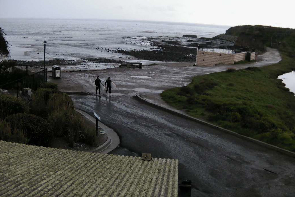
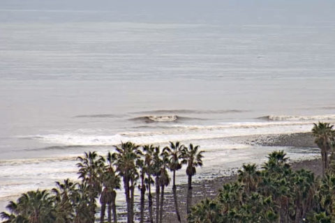
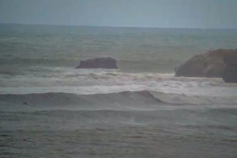
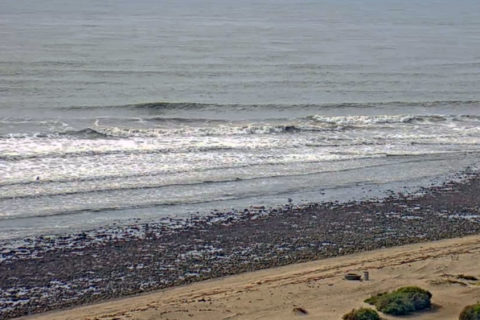
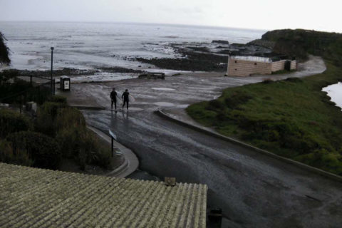
Looks like a nice morning for a little surf session – as long as you can find a bank. Swell seems pretty straight and in the 8-10 sec range for period. Wave faces should be in the waist to even shoulder high range on the biggest ones. Wind is light for the early. Tide’s dropping from the 1.7 m high at 0600 to the low at 1250. Should be a mostly sunny and warm day with the wind gradually picking up from the N-NE toward midday. Ocean’s on 21C.
Postcards from Cali
Sydney Coastal Waters Forecast: Broken Bay to Port Hacking
No warnings for New South Wales
Forecast issued at 4:10 am EDT on Saturday 16 February 2019.
Weather Situation
A high pressure system centred over Tasmania is slowly moving east, and will drift across the southern Tasman Sea for the next few days while extending a ridge to the northern New South Wales coast. This system will promote generally northeast to southeasterly winds until late Monday, when a trough brings a southerly change up south coast.
Forecast for Saturday until midnight
- Winds
- East to northeasterly about 10 knots increasing to 10 to 15 knots in the evening.
- Seas
- Below 1 metre.
- 1st Swell
- Southerly around 1 metre.
- 2nd Swell
- Easterly around 1 metre.
- Weather
- Partly cloudy.
Sunday 17 February
- Winds
- North to northeasterly 15 to 20 knots, reaching up to 25 knots offshore in the late evening.
- Seas
- Around 1 metre, increasing to 1 to 1.5 metres by early evening.
- Swell
- Easterly around 1 metre.
- Weather
- Sunny.
Monday 18 February
- Winds
- North to northeasterly 20 to 30 knots.
- Seas
- 1.5 to 2.5 metres.
- Swell
- Easterly around 1 metre.
- Weather
- Sunny.

