
Hello Friends,
Yay. The Sydney MHL buoy is back. But it’s only showing 1.5 m of 6-second east bump for you this morning. Count yourself lucky if you find anything I’d say. Not that there would be many surf options anyway given that wind was out of the ENE at 10 kts just before first light. And by mid morning it could be around to the south as a change develops. It’s set to stay southerly/SE’ly for the next three days.
TC Oma being a TC may or may not deliver anything of interesting to the Sydney region late in the week, but this morning’s swell forecast models are pretty optimistic about the outlook for the weekend. Yeah, we have to be cautious about how it’ll work out, but surfing is powered by dreams, so why not hope that predictions of NE cyclone energy (not big) come true for Friday-Saturday. And while we’re wishing, we may as well add one for mellow winds early because the current predictions are showing southerly conditions into next week…
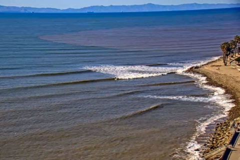
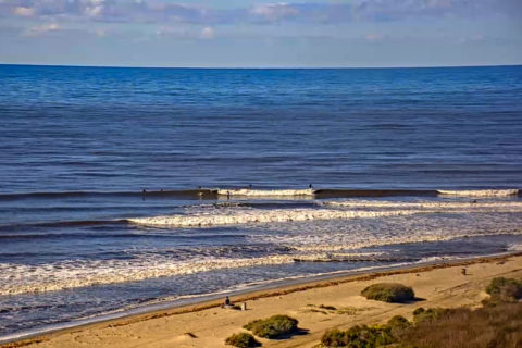
While Southern California has received welcome rains over the last few weeks, the usually reliable winter swells haven’t turned up to any great extent. And unlike in Oz, the long range swell models are painting a fairly bleak picture – particularly in the Santa Barbara area. Today is small to tiny from Santa Cruz to LA, and knee to waist way down south toward San Diego county (see Trestles).
Weather Situation
A trough is extending a southerly change along the coast this morning and is expected to continue through central parts during the day before stalling and weakening on the Macquarie Coast, leaving a weakening northerly flow in the north. Behind this trough, a high is expected to strengthen south of the Bight during the second half of the week, pushing a ridge along the New South Wales coast and maintaining south to southeasterly winds in most areas. Winds and seas in the north may increase at the end of the week due to the presence of Tropical Cyclone Oma in the region, although there is currently a fair level of uncertainty regarding its movement and intensity.
Forecast for Tuesday until midnight
- Winds
- Northerly 15 to 25 knots shifting southerly 15 to 25 knots during the morning then tending southeasterly 15 to 20 knots in the evening.
- Seas
- 1.5 to 2.5 metres.
- 1st Swell
- Northeasterly around 1 metre, increasing to 1 to 1.5 metres during the morning.
- 2nd Swell
- Southerly around 1 metre.
- Weather
- Partly cloudy. The chance of a thunderstorm inshore during this afternoon and early evening.
Wednesday 20 February
- Winds
- Southeasterly 10 to 15 knots, reaching up to 20 knots offshore early in the morning.
- Seas
- 1 to 1.5 metres, decreasing to 1 metre during the morning.
- 1st Swell
- Southerly 1.5 metres, decreasing to around 1 metre during the morning.
- 2nd Swell
- East to northeasterly around 1 metre.
- Weather
- Cloudy. 60% chance of showers.
Thursday 21 February
- Winds
- Southeasterly 15 to 20 knots.
- Seas
- Around 1 metre, increasing to 1 to 1.5 metres offshore.
- Swell
- Easterly around 1 metre, tending northeasterly 1 to 1.5 metres during the afternoon.
- Weather
- Partly cloudy. 60% chance of showers. The chance of a thunderstorm in the morning.
