
Hello Friends,
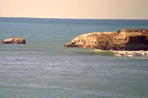
As I often say on ABC radio when it looks like this, it’s a real doona day. Wind is sideshore from the SSW at 10-15 kts as of first light. But it’ll pick up and swing SE as the morning goes along. And that won’t help the scrappy 2.3 metre, 8-second, SSE swell. Not that it matters much, but tide is coming in this morning to a midday high.
Looks as though the Bureau expects some of that cyclonic oomph to appear tomorrow. Unfortunately the wind will be strong and SE for Sydney. Bad luck.
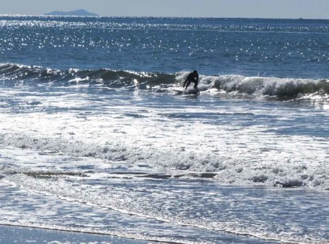
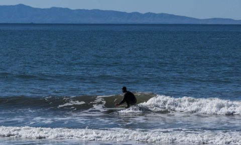
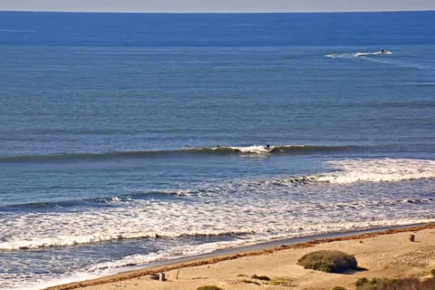
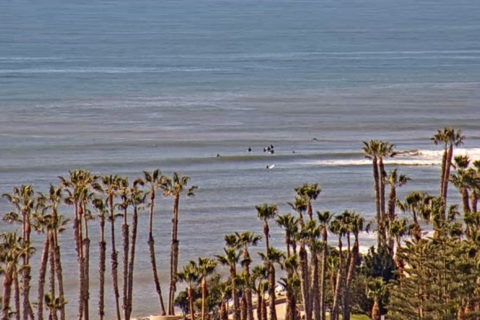
Meanwhile, on the other side of the globe, California is seeing just a tiny touch more swell around the place this morning. It’s now into the just barely surfable range at many spots but with sideshores. A few postcards…
Weather Situation
A strengthening high pressure system near Tasmania is drifting slowly east, while Tropical Cyclone Oma lies about 600km off the southern Queensland coast. This pattern is generating south to southeasterly winds over New South Wales waters, strong to gales force in the north due to the presence of Oma. Conditions should ease gradually on Sunday as Oma moves away to the north and the high shifts to the Tasman Sea. This high is expected to become the dominant feature in the region through the coming week, bringing a gradual shift from southeast to northeasterly winds in most coastal areas.
Forecast for Saturday until midnight
Strong Wind Warning for Saturday for Sydney Coast
- Winds
- South to southeasterly 15 to 25 knots, increasing to 20 to 30 knots in the evening.
- Seas
- 1.5 to 2.5 metres.
- 1st Swell
- Easterly 1.5 to 2.5 metres.
- 2nd Swell
- South to southeasterly around 1 metre.
- Weather
- Partly cloudy. 60% chance of showers.
Sunday 24 February
Strong Wind Warning for Sunday for Sydney Coast
- Winds
- Southeasterly 20 to 30 knots, easing to 15 to 25 knots in the morning.
- Seas
- 2 to 3 metres, decreasing to 1.5 to 2 metres around midday.
- 1st Swell
- Easterly 2 to 3 metres.
- 2nd Swell
- Southeasterly 1 to 1.5 metres.
- Weather
- Cloudy.
- Caution
- Large and powerful surf conditions are expected to be hazardous for coastal activities such as crossing bars by boat and rock fishing. Surf Life Saving NSW recommends only swimming at patrolled beaches and between the red and yellow flags.
Monday 25 February
- Winds
- East to southeasterly 15 to 20 knots tending east to northeasterly 10 to 15 knots during the afternoon.
- Seas
- 1.5 to 2 metres, decreasing to 1 metre during the morning.
- 1st Swell
- Easterly 1.5 to 2.5 metres.
- 2nd Swell
- Southerly 1.5 to 2 metres, tending southeasterly 1.5 to 2 metres during the morning.
- Weather
- Cloudy.

