
Hello Friends,
As of 0640 wind was light from the WSW and the MHL buoy was showing 1.3 metres of 8-sec SSE bump. Magnets should be in the waist to chest range and wind should be okay until late morning, when it’ll get around to the NE. Tide is dropping to a low at 1130.
Outlook is for there to be something surfable in the mornings for the next few days. The models are currently predicting an improvement to swell power from around Sunday. If they’re right, the front half of next week could be interesting at east swell spots, particularly in the mornings… wonder what the Goat’ll say on the topic…
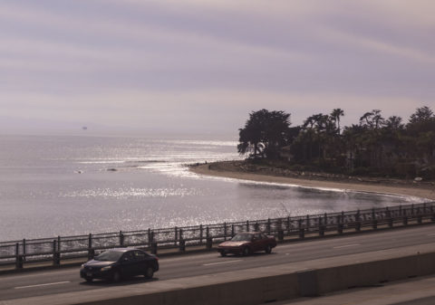
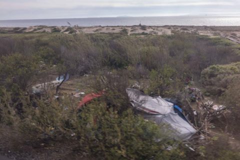
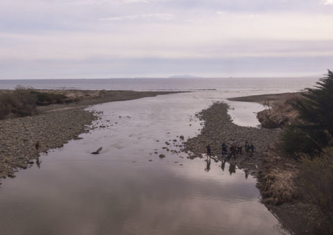
Still waiting for swell in California, so herewith a few snaps from a train ride I took yesterday along the coast between Ventura and Santa Barbara.
Weather Situation
A slow-moving high pressure system over the Tasman Sea is extending a ridge to the New South Wales coast. This pattern is expected to persist into next week, bringing east to northeasterly winds to the coastal waters. The winds will tend to the north and strengthen in the southern coastal waters later on Saturday and into Sunday as a trough approaches NSW.
Forecast for Thursday until midnight
Winds
Northeasterly 10 to 15 knots.
Seas
Below 1 metre.
1st Swell
Southerly around 1 metre.
2nd Swell
Easterly around 1 metre.
Weather
Partly cloudy.
Friday 1 March
Winds
Northeasterly 10 to 15 knots.
Seas
Around 1 metre.
Swell
Southerly around 1 metre.
Weather
Partly cloudy. 50% chance of showers.
Saturday 2 March
Winds
Northeasterly 15 to 20 knots.
Seas
1 to 1.5 metres.
Swell
Easterly 1 to 1.5 metres.
Weather
Partly cloudy.

