Hello Friends,
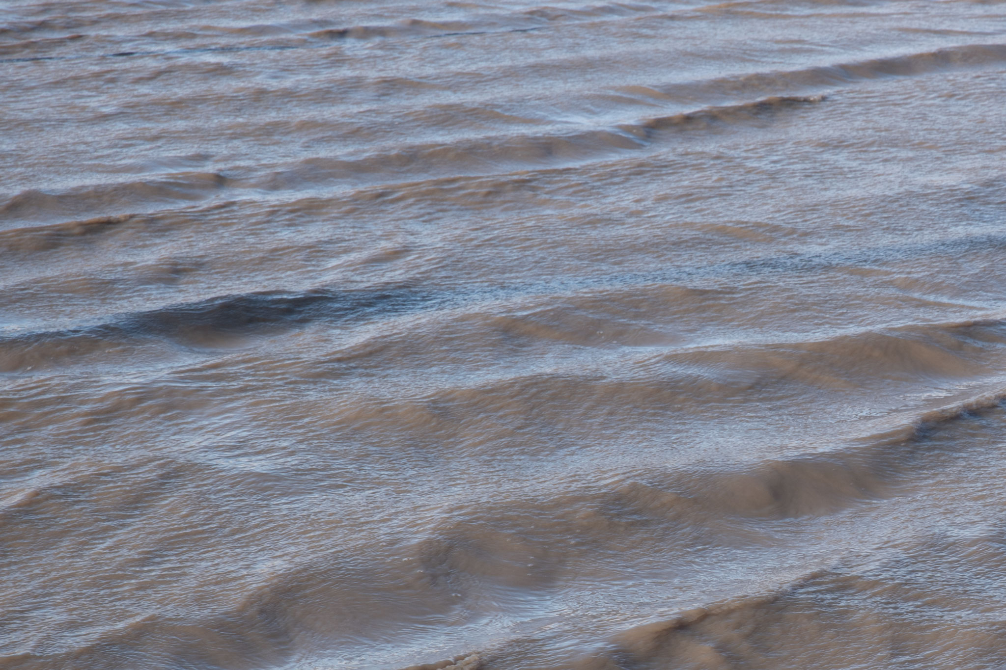
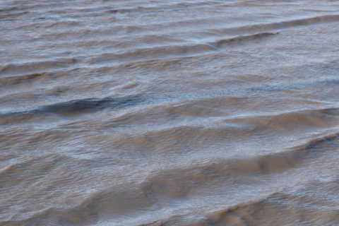
It looks to be shoulder plus on sets at various places around the Northern Beaches this morning, unfortunately as anyone who’s looked outside knows, the wind was 10+ kts from the NE by first light as it heads to peak speeds this afternoon in the 25-30 kt range. Wind swell is 2 plus metres out at sea, but the period is mostly around the 6-second mark, so catching waves will be a real challenge – even if you don’t mind the blasting onshores. Tomorrow’s set to be more of the same and then on Thursday it’s due to go southerly – hard. Not the best outlook sad to say.
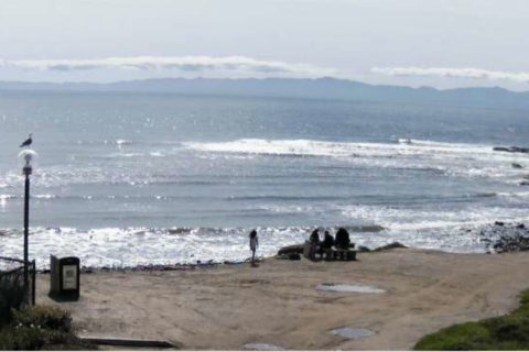
After a brief barely surfable pulse late last week, Santa Barbara is back to unseasonable microness as per the pic below of Campus Point earlier this morning. Looks like the next pulse will fill in around the time my plane leaves LA on Wednesday. Typical. Tell you what though, I’m really looking forward to Sydney’s warm water again.
Have a great Tuesday one and all!
Forecast issued at 4:10 am EDT on Tuesday 5 March 2019.
Weather Situation
A slow-moving high pressure system over the Tasman Sea is extending a ridge towards the northern New South Wales coast, directing east to northeasterly winds. Winds freshen and tend northerly today ahead of a cold front and associated strong and gusty southerly change, which is expected to cross the southern and central parts of the coast during Wednesday, then northern parts on Thursday.
Forecast for Tuesday until midnight
Strong Wind Warning for Tuesday for Sydney Coast
- Winds
- North to northeasterly 20 to 25 knots, reaching up to 30 knots in the evening.
- Seas
- 1.5 to 2.5 metres.
- Swell
- Easterly 1.5 metres, tending northeasterly 1 to 1.5 metres by early evening.
- Weather
- Sunny.
Wednesday 6 March
Strong Wind Warning for Wednesday for Sydney Coast
- Winds
- Northerly 15 to 25 knots, reaching up to 30 knots at times during the day. Winds shifting southerly 20 to 25 knots in the middle of the day.
- Seas
- 2 to 3 metres, decreasing to 1 to 2 metres during the morning.
- Swell
- Easterly 1 to 1.5 metres, tending northeasterly 1.5 metres during the morning.
- Weather
- Partly cloudy. 80% chance of showers. The chance of a thunderstorm.
Thursday 7 March
- Winds
- Southerly 20 to 25 knots turning east to southeasterly below 10 knots during the afternoon.
- Seas
- 1.5 to 2.5 metres, decreasing below 1 metre during the afternoon or evening.
- 1st Swell
- Southerly below 0.5 metres, increasing to 1.5 to 2 metres during the morning.
- 2nd Swell
- Easterly 1 to 2 metres, decreasing below 1 metre during the afternoon.
- Weather
- Partly cloudy.

