Hello Friends,
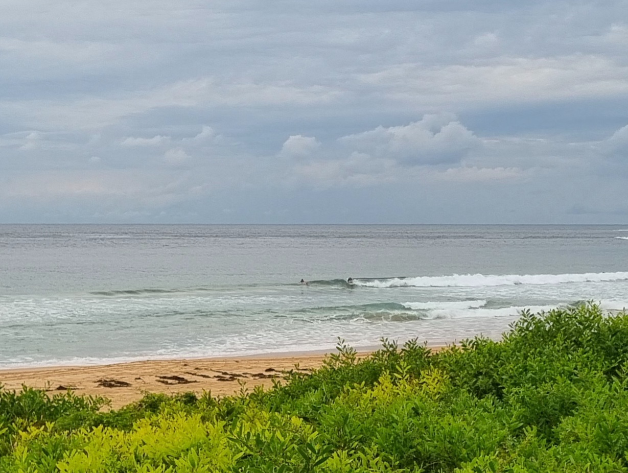
Another lumpy but surfable morning on tap. Sets at stand out spots should be delivering shoulder plusses, but while the wind was light northerly as I wrote this, the conditions are not going to be great. According to the MHL buoy the 1.8 metre, 11-sec swell was coming mainly from the SE, but there’s definitely some longer period NE component in the mix as well. I’d expect it to be more chaotic than clean.
Beachwatch posted a algal bloom warning yesterday, so depending on how the wind and swell affected it, there could still be problematic stuff in the water. I’d be taking a pretty close look before jumping in.
The light wind of the early session will give way to a 20-25 kt southerly this afternoon which will then dominate through to tomorrow morning. Swell’s supposed to come up with it, but you may want to wait until tomorrow afternoon when the NEr is due and possibly (depending on how short the period is) some interesting stuff could show in protected, southerly friendly north corners (not that there are many of those to choose from).
Santa Barbara has no waves to speak of today and by this afternoon another couple days of solid rain is due to arrive – so even if the swell comes up, the water will be horrible. All of this is academic where I’m concerned because tomorrow evening I’ll be on the 15 hour haul back home to Sydney. Hooray!


Weather Situation
A slow-moving high pressure system over the Tasman Sea is extending a ridge towards the northern New South Wales coast, directing east to northeasterly winds. Winds in the central and southern parts of the coast are fresh to strong northerlies ahead of a cold front and associated strong and gusty southerly change, which is expected to cross the southern and central parts of the coast during Wednesday, then northern parts on Thursday.
Forecast for Wednesday until midnight
Strong Wind Warning for Wednesday for Sydney Coast
- Winds
- Northerly 15 to 25 knots shifting southerly 20 to 25 knots in the early afternoon. Winds reaching up to 30 knots early in the morning and again in the evening.
- Seas
- 1.5 to 2.5 metres.
- Swell
- Northeasterly 1.5 metres inshore, increasing to 1.5 to 2 metres offshore.
- Weather
- Partly cloudy. 80% chance of showers. The chance of a thunderstorm during this afternoon and evening.
Thursday 7 March
Strong Wind Warning for Thursday for Sydney Coast
- Winds
- South to southeasterly 15 to 25 knots, reaching up to 30 knots early in the morning. Winds turning east to northeasterly 10 to 15 knots in the evening.
- Seas
- 2 to 3 metres, decreasing to 1.5 to 2 metres during the morning, then decreasing to 1 metre around midday.
- 1st Swell
- Southerly around 1 metre, increasing to 1 to 1.5 metres during the morning, then increasing to 1.5 to 2 metres around midday.
- 2nd Swell
- Northeasterly 1 to 1.5 metres, tending easterly around 1 metre during the morning.
- Weather
- Partly cloudy.
Friday 8 March
- Winds
- Northeasterly 15 to 20 knots.
- Seas
- Around 1 metre, increasing to 1 to 1.5 metres during the afternoon.
- Swell
- Southerly 1 to 1.5 metres.
- Weather
- Partly cloudy.


