Hello Friends,
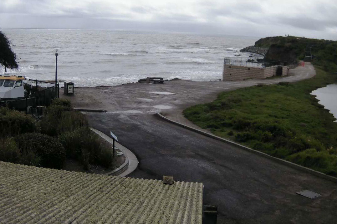
Despite the MHL buoy showing 3.7 metres from the SSE at 10 seconds, conditions this morning are not likely to be too attractive. At 0630 the south wind was already in the 15-20 kt range, in fact I should stay it was still 15-20 kts as it has been since yesterday. The ocean is going to be choppy, messy and horrible – plus Beachwatch was warning of algal blooms yesterday.
I leave California in about 10 hours, so I’ll miss the Goat’s preview of conditions for the coming week. Hope that he sees some reason for me to jump in the water when I get home on Friday because from the models, I’m not hopeful. That said, it’ll be fantastic to be home once more!
The last day here sees another rain storm along the southern California coast along with onshores and no real sign of any swell. What a horror of a month for surfing February was in Santa Barbara. Now they head into the windy months before the long summer flat spells take over from around June.
Weather Situation
A high pressure system drifting across Victoria is extending a ridge along the New South Wales coast in the wake of a cold front and associated southerly change. By Friday this high is expected to be over the central Tasman Sea, bringing a return to generally northerly winds in most coastal areas, although another southerly change is forecast to affect southern parts later Friday and Saturday as a weak low develops offshore. The next significant cold front looks set to arrive in the middle of next week.
Forecast for Thursday until midnight
- Winds
- South to southeasterly 15 to 20 knots shifting east to northeasterly 10 to 15 knots in the evening.
- Seas
- 1.5 to 2 metres, decreasing to around 1 metre during the afternoon.
- 1st Swell
- Southerly 1.5 to 2 metres.
- 2nd Swell
- Easterly around 1 metre.
- Weather
- Partly cloudy.
Friday 8 March
- Winds
- Northeasterly 15 to 20 knots.
- Seas
- 1 to 1.5 metres.
- Swell
- Southerly 1 to 1.5 metres.
- Weather
- Partly cloudy.
Saturday 9 March
- Winds
- Northeasterly 15 to 25 knots turning northerly during the afternoon.
- Seas
- 1 to 1.5 metres, increasing to 1.5 to 2 metres offshore.
- Swell
- Southerly below 1 metre.
- Weather
- Partly cloudy. 80% chance of showers. The chance of a thunderstorm in the afternoon and evening.
Please be awareWind gusts can be 40 percent stronger than the averages given here, and maximum waves may be up to twice the height.
Nearby Coastal Waters

- This forecast is also available via scheduled broadcasts on marine radio.
- Latest Coastal Observations
- Tide Predictions
- Marine Knowledge Centre – explanations and definitions
The next routine forecast will be issued at 4:05 pm EDT Thursday.
Product IDN11009

