Hello Friends,
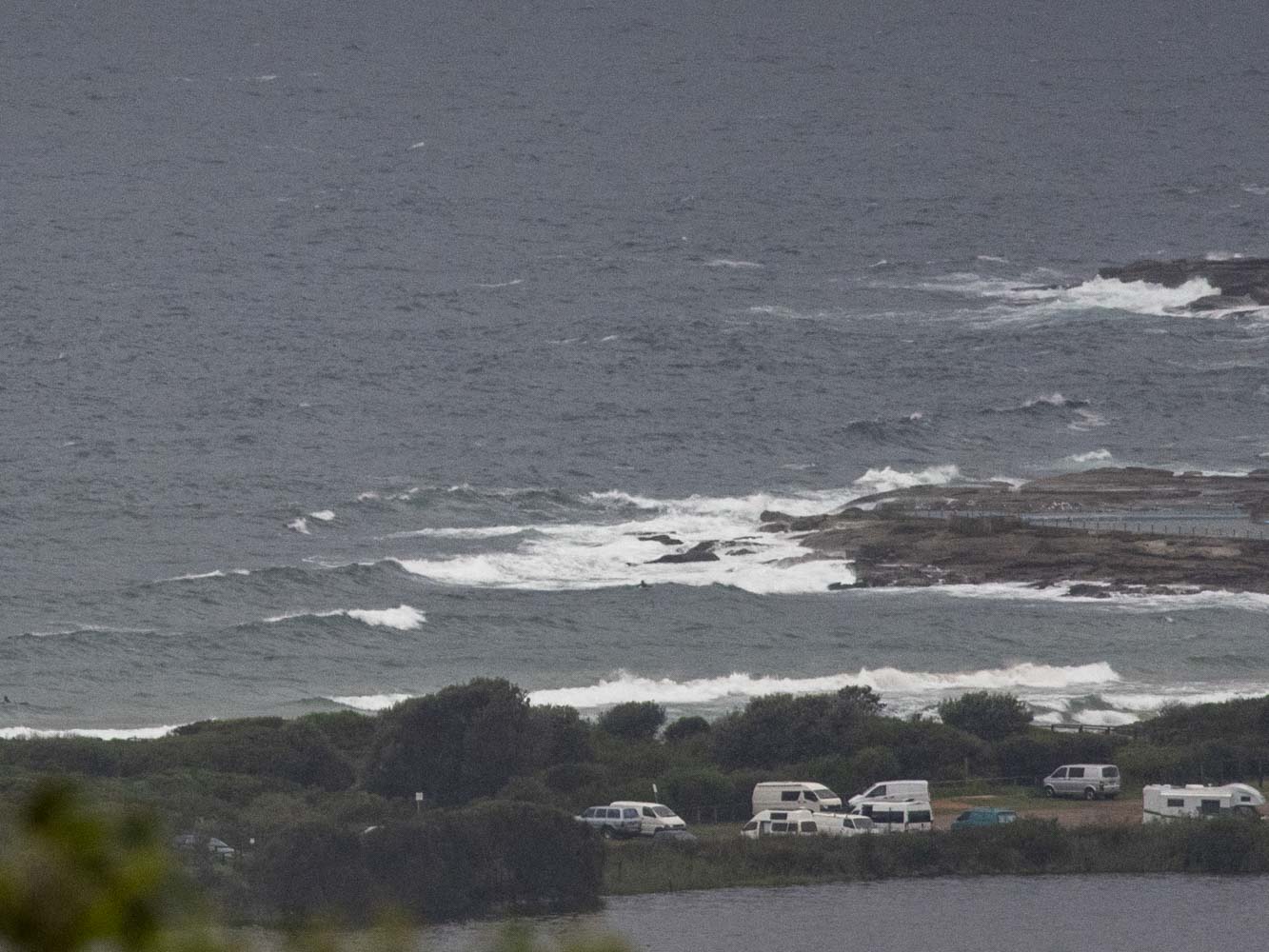
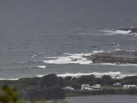
Mild with 15-20 kts NE wind under solidly overcast skies when I climbed aloft to grab a picture for you this morning. At 0500 the MHL buoy was seeing 1.3 metres of 5-second ENE wind bump. As you can see below, there’s more activity than the last couple of days, but it’s not looking surfable and I couldn’t see anyone trying either. Not that it matters much, but the tide will be low at 0850 this morning – and then back to high at 1445. There’s a 95% chance of showers as we head to a high of 24.
Tomorrow will be rainy as well and from the look of the models, there won’t be any positive change to the surf prospects. The Bureau says we’ll have more swell, but the models show it being short period. As always, I’m keen to see what the Goat’s take is on our prospects later today…
Go well with your day everyone!
Weather Situation
A high pressure system over the Bight is directing east to northeasterly winds over the New South Wales coast. A trough is expected to develop near the central parts of the coast during Thursday, with a southerly change expected to affect the south coast during Thursday and Friday.
Forecast for Thursday until midnight
- Winds
- Northeasterly 10 to 15 knots.
- Seas
- Around 1 metre.
- Swell
- Southerly around 1 metre.
- Weather
- Cloudy. 95% chance of showers. The chance of a thunderstorm.
Friday 15 March
- Winds
- Northeasterly 10 to 15 knots tending easterly early in the morning.
- Seas
- Around 1 metre.
- 1st Swell
- Southerly around 1 metre.
- 2nd Swell
- Easterly around 1 metre, increasing to 1 to 1.5 metres inshore.
- Weather
- Cloudy. 90% chance of showers. The chance of a thunderstorm in the morning and afternoon.
Saturday 16 March
- Winds
- Easterly 10 to 15 knots tending southeasterly during the morning.
- Seas
- Around 1 metre.
- 1st Swell
- Southerly around 1 metre.
- 2nd Swell
- Easterly around 1 metre.
- Weather
- Partly cloudy. 70% chance of showers. The chance of a thunderstorm in the morning.

