Hello Friends,
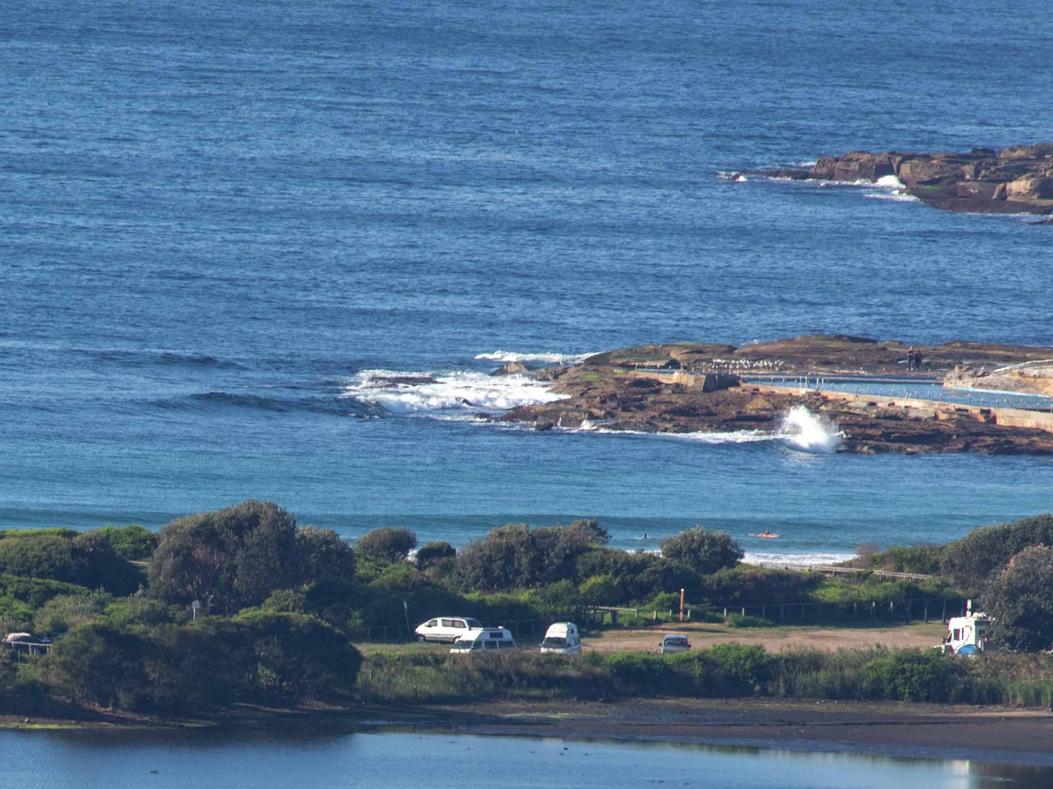
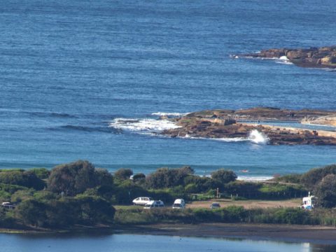
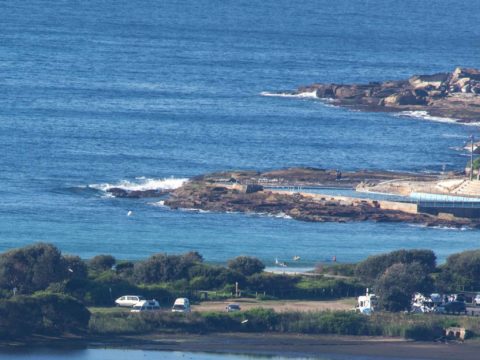
A beautiful morning in every respect save one. If you are super keen and have something very floaty in your surf toy collection, you might be able to get an ankle to knee high bump at places that like the ESE direction of the 10-sec sub-one metre swell.
We’re expecting a partly cloudy day with a maximum of 23C for Monday. First tide of the daylight hours is the low at 1105. By then the wind should be around to ESE at about 10 kts.
The good news is that the models are pegging today as the low point of the week and that by Thursday we could be seeing waist high plusses at spots well tuned to an easterly wind bump.
Have a great Monday everybody!
Weather Situation
A high pressure system over the southern Tasman Sea will move slowly east while maintaining a ridge through New South Wales for the next few days. This high pressure system will drift further east toward New Zealand as a cold front slipping to the south of the state during the mid-week brings a southerly wind change over the southern coasts on Thursday. This change will then be quickly followed by another high pressure system from the west that will move toward the southern Tasman Sea by the later part of the week.
Forecast for Monday until midnight
- Winds
- Southerly 10 to 15 knots tending east to southeasterly about 10 knots in the early afternoon.
- Seas
- Below 1 metre.
- Swell
- Southerly around 1 metre.
- Weather
- Partly cloudy. 50% chance of showers.
Tuesday 16 April
- Winds
- East to southeasterly about 10 knots.
- Seas
- Below 1 metre.
- Swell
- Southerly around 1 metre.
- Weather
- Partly cloudy. 50% chance of showers.
Wednesday 17 April
- Winds
- East to southeasterly about 10 knots becoming northeasterly during the evening.
- Seas
- Below 1 metre.
- Swell
- Easterly around 1 metre.
- Weather
- Partly cloudy. 50% chance of showers

