Hello Friends,
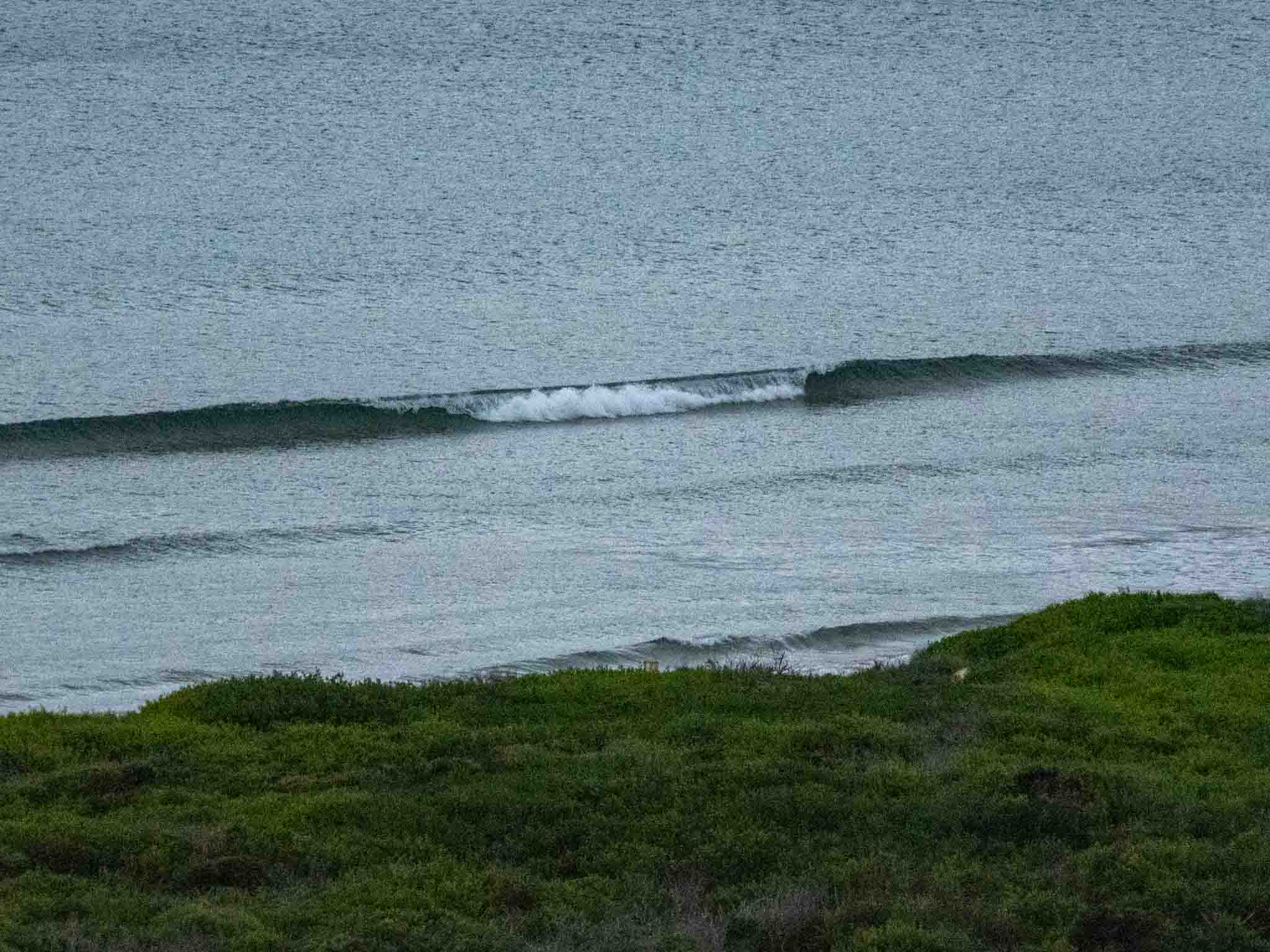
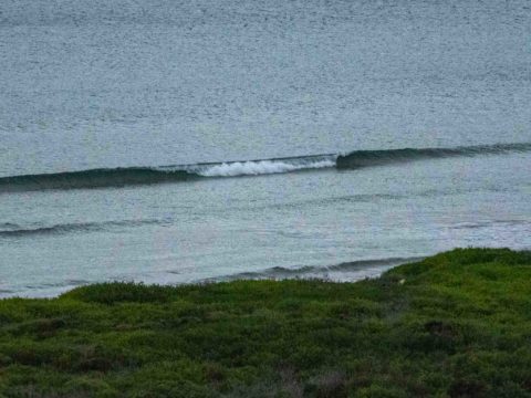
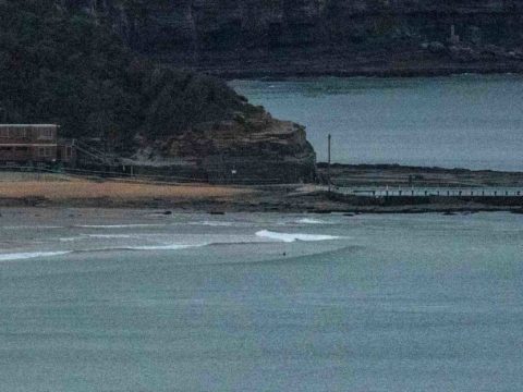
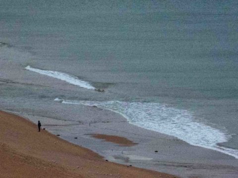
There’s a dangerous surf warning for later in the day, but as the morning kicked off there wasn’t a hint of swell to be seen along the beaches. Wind was already 15-20 kts from the WNW as of 0700, but by midday we should be seeing 25-40 kts from the west. The swell should start to ramp up noticeably this morning and by late afternoon the Bureau says we should have 3-4 metres of south swell out at sea. Given the powerful offshore wind, I’m not expecting anything lke 3-4 metre faces though.
Tide was low at 0735 and will be back to high at 1440. Ocean temperature is sitting on 21C.
Outlook is for today’s swell to fade out within 24 hours of peaking, so it looks like the best shot at a wave will be tomorrow morning at south magnets. With luck the SW wind won’t be too crazy for the first session.
The rest of the week is currently not shaping to be all that exciting. In fact on current projections we’re looking at near-flat to flat by midweek – and it could stay that way into next weekend.
If you’re on the Northern Beaches today, why not catch a bus, walk, jog, or cycle to Manly to join the Surfrider crew and friends at 3pm for Hands Across the Sands to protect the Sydney basin by showing our opposition to seismic testing off our coast. Seismic surveying involves generating sound impluses every few seconds from an array of guns to create sound pulses into the 200+ dB range (that’s much louder than standing next to a jet engine at full throttle). Created by an array towed by a survey vessel, the sound is detectable hundreds of kilometres away. The impact is felt right across the marine environment, starting at the level of zooplankton and going right to the top of the foodchain.
Weather Situation
A complex low pressure system in the Tasman Sea is generating vigourous south to southwesterly winds along southern parts of the coast, extending to central coastal areas during today. The complex low is expected to move rapidly away to the east on Sunday, with winds easing as a high drifts across from the west. By Monday the high should be centred over the Tasman Sea, with winds tending east to northeasterly.
Forecast for Saturday until midnight
Gale Warning for Saturday for Sydney Coast
- Winds
- Westerly 25 to 35 knots turning southwesterly during the morning. Winds reaching up to 40 knots in the late morning and early afternoon.
- Seas
- 1.5 to 2.5 metres, increasing to 2 to 4 metres offshore.
- Swell
- South to southeasterly below 0.5 metres, tending south to southwesterly 1.5 to 2.5 metres during the morning, then tending southerly 3 to 4 metres during the afternoon.
- Weather
- Partly cloudy. 50% chance of showers. The chance of a thunderstorm offshore this morning.
- Caution
- Large and powerful surf conditions are expected to be hazardous for coastal activities such as crossing bars by boat and rock fishing.
Sunday 12 May
Strong Wind Warning for Sunday for Sydney Coast
- Winds
- Southwesterly 15 to 25 knots, reaching up to 30 knots offshore early in the morning. Winds turning south to southeasterly below 10 knots in the early afternoon.
- Seas
- 1.5 to 2.5 metres, decreasing to 1 to 1.5 metres during the morning, then decreasing below 1 metre during the afternoon.
- Swell
- Southerly 3 to 4 metres, decreasing to 2 to 2.5 metres during the morning.
- Weather
- Partly cloudy.
- Caution
- Large and powerful surf conditions in the morning are expected to be hazardous for coastal activities such as crossing bars by boat and rock fishing.
Monday 13 May
- Winds
- Variable about 10 knots becoming northerly 10 to 15 knots during the afternoon.
- Seas
- Around 1 metre.
- Swell
- Southerly 1.5 to 2 metres, decreasing to 1 to 1.5 metres during the morning.
- Weather
- Partly cloudy.

