Hello Friends,
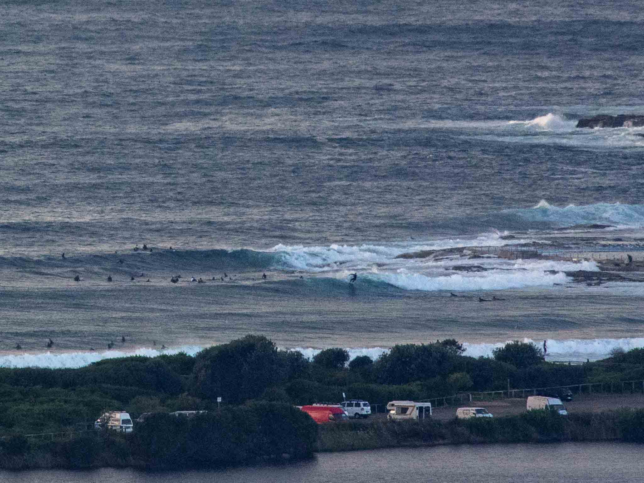
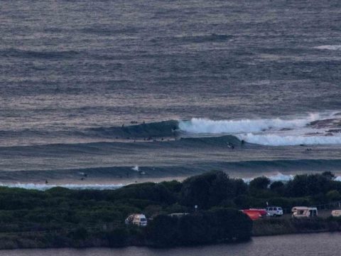
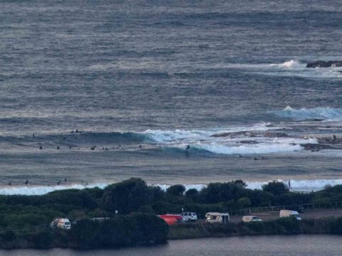
Looked to be around 30 people in the water as of 0800 this morning at Dee Why point. There were maybe a dozen inside along the beach near the club and then scattered numbers north toward the Pole. Surface conditions looked to be relatively smooth. Sets are still solidly overhead, but yesterday’s 4 metre swell offshore has dropped a metre so wave faces on the big ones are looking to be around 3 metres. That’s enough to get you into trouble beginners, so sit this one out or maybe check around at Collaroy.
The MHL buoy 0600 report showed 2.9 metres of 12-second energy from 154° (SSE), water offshore is 22C. Wind is out of the WNW at about 10 kts as of 0810.
We can expect the odd shower today, but the swell should keep going at roughly the current intensity until close of play and the wind isn’t expected to go too hard either, although it will swing south.
Outlook currently is pointing to a week of waves. Tomorrow is expected to be back into the waist to occasionally chest plus range, before ramping back up into the crazy big range for Tuesday (6+ metres dead south!) … but with blasting 25-40 kt S-SW wind as the swell peaks and rain. Wednesday looks like seeing swell drop back a little but still be big, windy and rainy. My hope is that by Thursday the sun returns, the wind goes more westerly and gets much lighter and the swell hangs in there at about waist to head high….
Have a top old Sunday everyone!
Weather Situation
A high pressure system near the Bight is extending a ridge towards the New South Wales coast, directing south to southeasterly winds. A front approaching from the west of Tasmania will cross the state during Sunday and deepen into a low pressure system on Monday near the southern half of the coast. Vigorous southerly winds will develop along southern parts of the coast later on Monday and extend northwards during Tuesday in response to the low.
Forecast for Sunday until midnight
- Winds
- Southerly 10 to 15 knots becoming variable below 10 knots in the early afternoon.
- Seas
- Around 1 metre, decreasing below 0.5 metres by early evening.
- Swell
- Southerly 2 to 2.5 metres.
- Weather
- Cloudy. 95% chance of showers. The chance of a thunderstorm this evening.
Monday 3 June
Strong Wind Warning for Monday for Sydney Coast
- Winds
- Northwesterly 10 to 15 knots turning westerly 15 to 25 knots before dawn. Winds reaching up to 30 knots in the late evening.
- Seas
- Below 1 metre, increasing to 1 to 2 metres during the morning.
- Swell
- Southerly 1.5 to 2 metres.
- Weather
- Partly cloudy. 90% chance of showers. The chance of a thunderstorm in the late afternoon and evening.
Tuesday 4 June
- Winds
- West to southwesterly 25 to 30 knots tending south to southwesterly 25 to 40 knots during the morning.
- Seas
- 2 to 3 metres, increasing to 3 to 5 metres during the morning.
- Swell
- Southerly 1 to 1.5 metres, increasing to 3 to 5 metres during the morning.
- Weather
- Cloudy. 95% chance of showers. The chance of a thunderstorm

