Hello Friends,
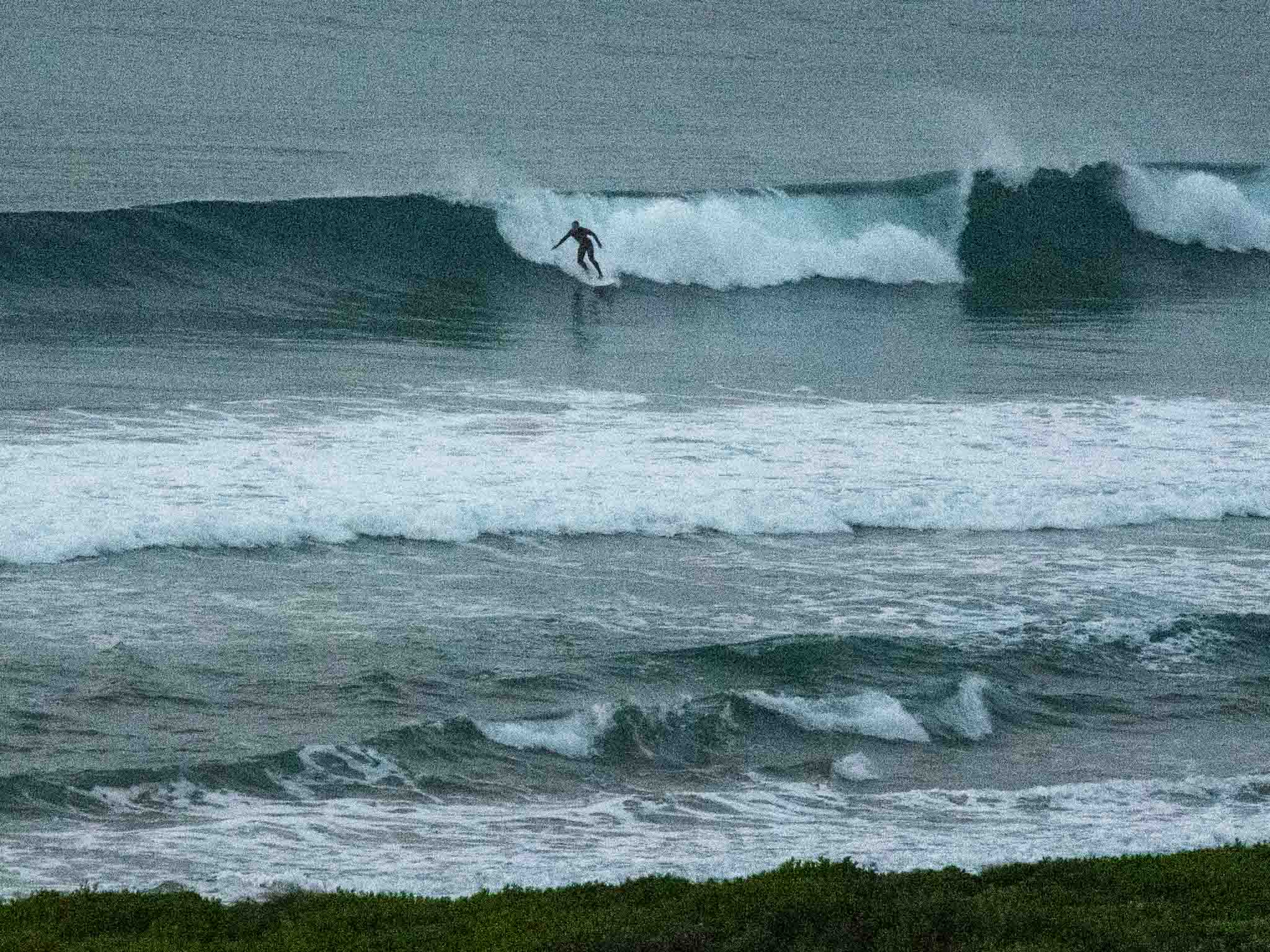
Super clean and fun looking at spots that like the SE swell angle hitting this morning. Sets at optimal exposures were seeing faces into the head high range and it looks as though the beachies are producing the odd peak among the usual shutdowns.
Wind was faintly from the WNW before 0700 and it should stay light and mainly from that direction across the day. Swell was out of the SSE (158°) at 1.4 metres with a period of 11 seconds. Tide was low at 0620 and we’re currently heading to a 1.4m high at 1230. Should be a good morning for a wave!
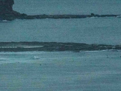
Nice left near the lagoon 0700


Weather Situation
A strong high pressure system centred over eastern Victoria will move slowly east across the Tasman Sea over the next few days. This pattern will result in northerly winds over the south coast and easterly winds in the north on Saturday, tending norther to northwesterly by Monday. Meanwhile, a large southerly swell which has impacted the coast over the last few days, will continue to contract northwards and ease by this evening.
Forecast for Saturday until midnight
- Winds
- Variable about 10 knots becoming northwesterly 10 to 15 knots in the middle of the day.
- Seas
- Below 0.5 metres, increasing to around 1 metre during the afternoon.
- Swell
- Southerly 1.5 to 2 metres, decreasing to 1.5 metres by early evening.
- Weather
- Partly cloudy. 50% chance of showers.
Sunday 9 June
- Winds
- West to northwesterly about 10 knots becoming north to northeasterly in the early afternoon.
- Seas
- Below 1 metre.
- Swell
- Southerly 1.5 metres, decreasing to around 1 metre during the morning.
- Weather
- Mostly sunny.
Monday 10 June
- Winds
- North to northwesterly 10 to 15 knots increasing to 20 knots before turning westerly 10 to 15 knots during the evening.
- Seas
- Below 1 metre, increasing to 1 to 1.5 metres offshore during the morning.
- Swell
- Southerly below 1 metre.
- Weather
- Mostly sunny.


