Hello Friends,
Looks like a great day to catch up on the non-surfing aspects of your life today in Sydney. Not that it matters, but wind was 10-25kts from the NNW at a little after 0700. The Sydney buoy hasn’t reported in since midnight, but from the shape of the other reports, you’re probably into the sub one metre at sea zone. Tide’s heading to a low at 1025 and the wind is set to pick up as the day goes along. Not much hope of a wave today, but have a look at the Goat’s latest because he has some glad tidings to share…
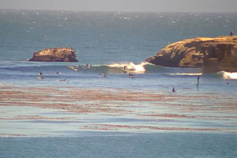
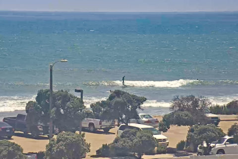
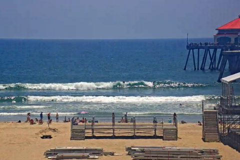
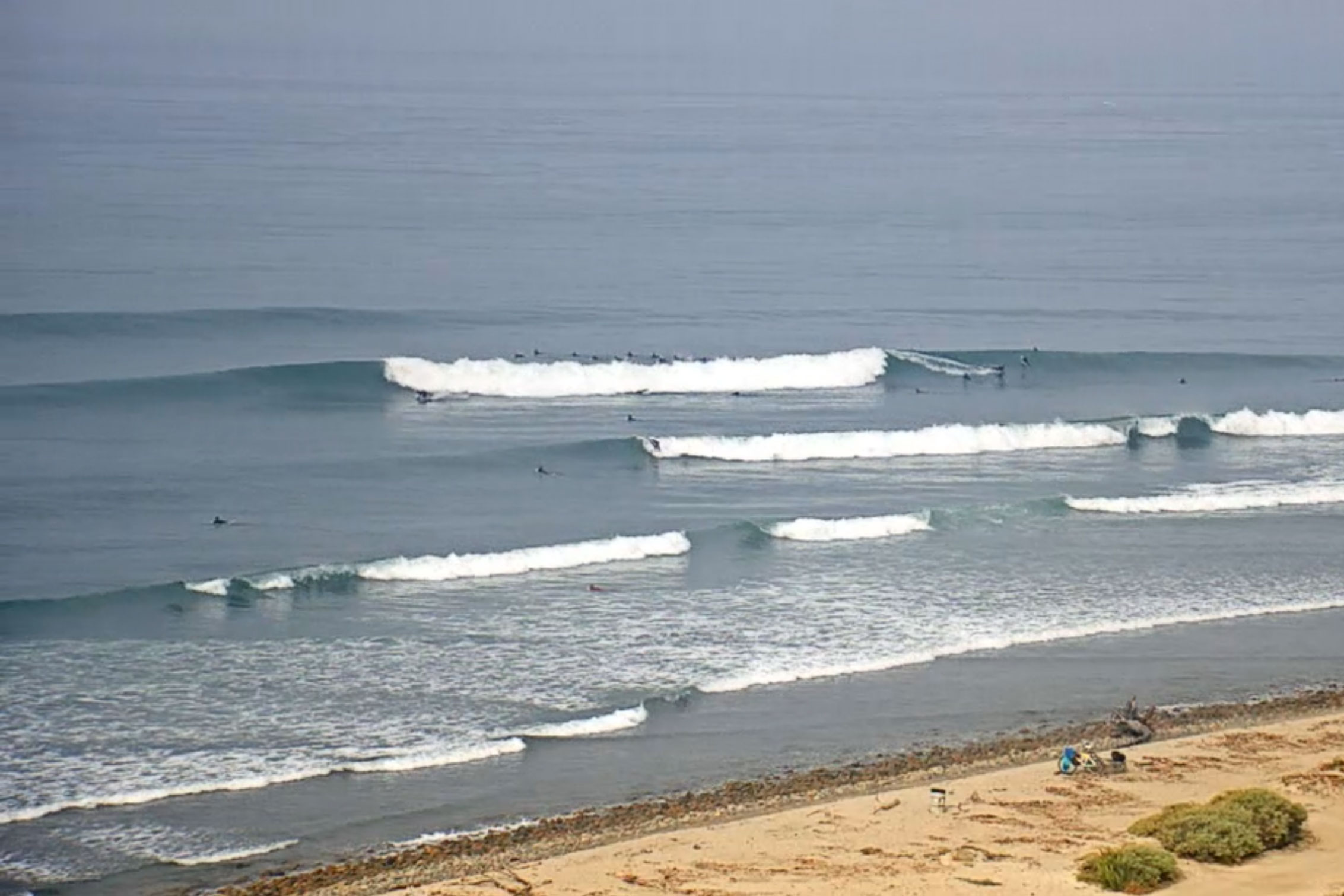
Postcards below…
Weather Situation
Vigorous west to northwesterly winds are being generated ahead of a cold front. This front will bring a vigorous southwesterly change to southern parts late tonight and extend north on Saturday. A second front is forecast to clip southeastern Australia late Sunday and early Monday. After this, winds will gradually ease as a high pressure system slowly approaches from the west.
Forecast for Friday until midnight
Strong Wind Warning for Friday for Sydney Coast
- Winds
- Northwesterly 15 to 25 knots, reaching up to 30 knots offshore.
- Seas
- 1.5 to 2.5 metres.
- Swell
- Southerly around 1 metre.
- Weather
- Mostly sunny.
Saturday 13 July
Gale Warning for Saturday for Sydney Coast
- Winds
- Northwesterly 25 to 30 knots turning west to southwesterly during the day. Winds reaching up to 35 knots offshore.
- Seas
- 2 to 3 metres, increasing to 2.5 to 4 metres during the morning.
- Swell
- South to southwesterly 1 to 2 metres.
- Weather
- Mostly sunny.
Sunday 14 July
- Winds
- West to southwesterly 20 to 30 knots.
- Seas
- 2 to 3 metres, decreasing to 1 to 1.5 metres during the morning.
- Swell
- Southerly 3 to 4 metres, decreasing to 2 to 3 metres during the morning.
- Weather
- Mostly sunny.