Hello Friends,
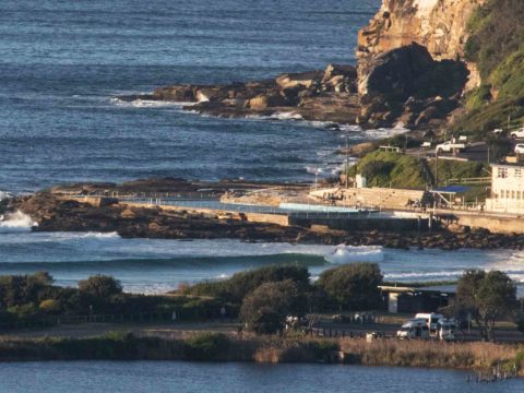
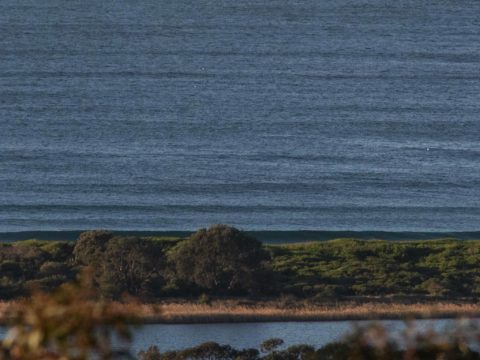
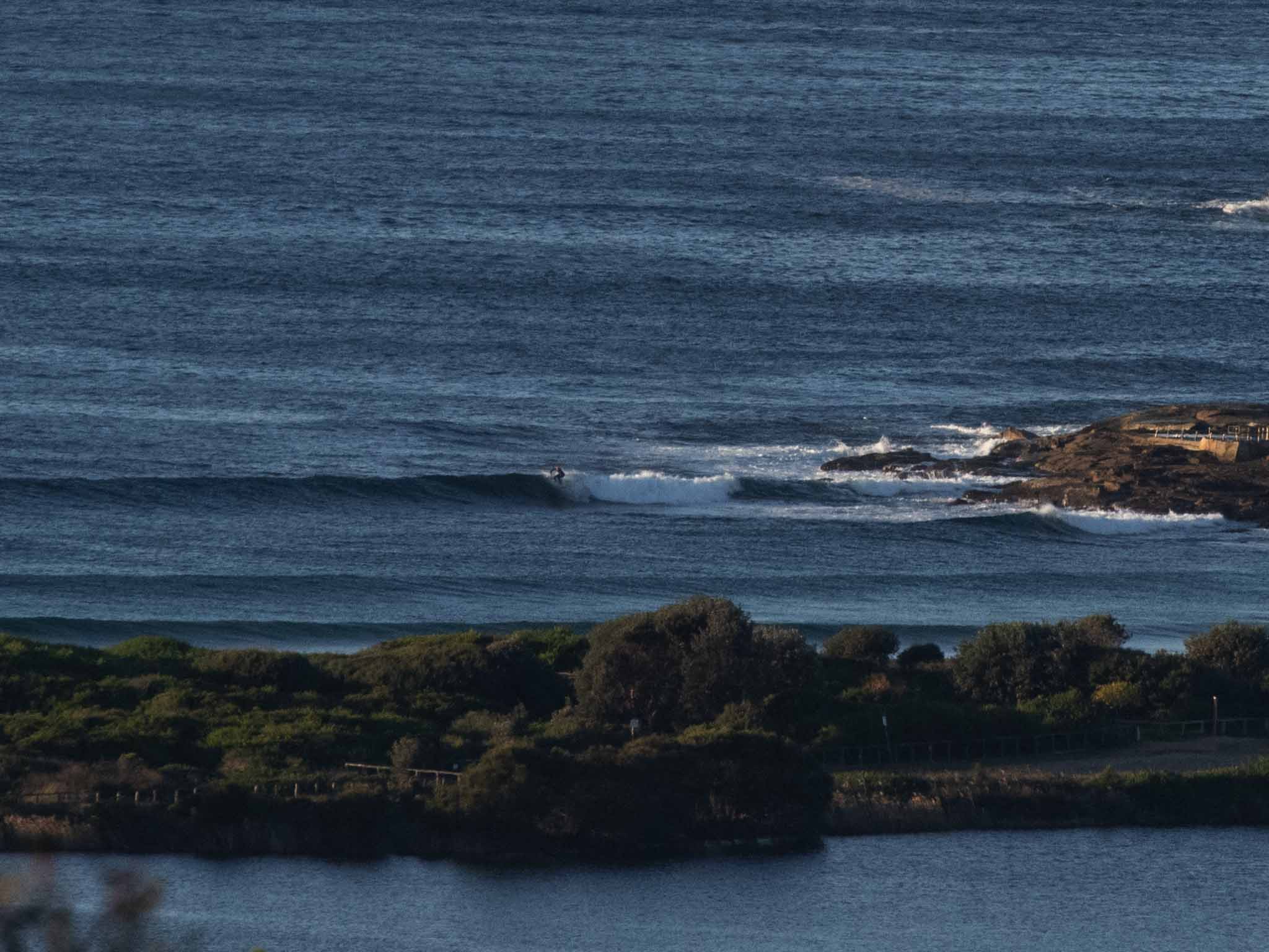
Chilly, sunny and offshore with sets into the waist plus range at Dee Why when I checked this morning at 0730. There was only one person in the water at the point braving the cold but clean conditions and I couldn’t see anyone north from there toward No Mans. The lines were quite long and despite a low tide around 0755, they seemed to be breaking very close to shore. The MHL buoy was showing 1.6 metres of 8 second energy from the SSE for Sydney. From the look of the data, the Bureau is right to predict a gradual decline back to about a metre by the end of the day. It’ll be interesting to see the Goat’s take on our prospects when his latest surf prediction rolls out later today. I’m wondering what his take will be on the surf outlook for mid next week… wavewatch looks crazy but ECM is meh.
Have a top old day everyone!
Weather Situation
A high pressure ridge is strengthening over New South Wales. This high will be the dominant feature in the region over the coming days, apart from a weak cold front that is forecast to skim across the south late Friday and early Saturday.
Forecast for Thursday until midnight
- Winds
- West to northwesterly about 10 knots becoming north to northeasterly in the early afternoon then increasing to 10 to 15 knots in the evening.
- Seas
- Below 1 metre.
- Swell
- Southerly 1.5 to 2 metres, decreasing to 1 to 1.5 metres during the morning.
- Weather
- Mostly sunny.
Friday 26 July
- Winds
- North to northwesterly 10 to 15 knots, reaching up to 20 knots during the morning and early afternoon.
- Seas
- 1 to 1.5 metres.
- Swell
- South to southeasterly around 1 metre.
- Weather
- Partly cloudy.
Saturday 27 July
- Winds
- Westerly 10 to 15 knots turning south to southwesterly during the morning then decreasing to about 10 knots during the evening.
- Seas
- Around 1 metre.
- Swell
- Southeasterly below 1 metre.
- Weather
- Partly cloudy. 50% chance of showers. The chance of a thunderstorm in the morning.