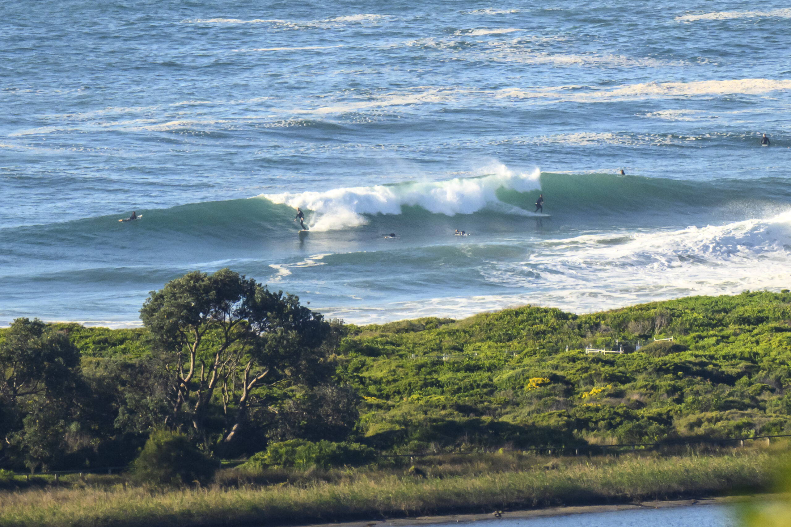
The Goat’s Surf Forecast
Surf forecast issued 8 August 2019: Seven day outlook for Sydney:
The weekend outlook is for:
quite a bit of wind from the west – more than enough to blow off your toupee so watch out,
quite a bit of cold – more than you’ll want having tasted a touch of Spring today, and
quite flat surf.
It might start to come up from the south later on Sunday, but most of the SW swell will be travelling parallel to the coastline, and with the strong offshore wind pushing it back out to sea it doesn’t look like much of it should hit the shoreline.
But if the the swell beats the strong offshore wind, because of its increasing swell period – ie the Swell wins the Battle of the Winds and Waves – the surf should be somewhere in the 1-2 metre range, and coming up at dead South places later in the day.
Monday will be a different story…. still with strong westerly winds trying to push back increasing swell. It’ll be interesting to see who wins out – from for example the comfort of a warm car.
Friday – Saturday: flattish
Sunday: flat or as described above
Monday: say around 2-3 metres at dead South places, with sets
Tuesday: easing back, 2- 2+ metres at dead South spots, with sets
Wednesday: easing back more, into the 1-2 metre range dead South with solid sets
Thursday: down more in the 1-2 metre range dead South, with sets.
Stay Warm, Stay Cool, Stay Safe.
TG
Up in the Air
Blue sky…


Winds
Down in the Sea
Water temp is around 19…still pleasant enough

Tides
https://www.rms.nsw.gov.au/documents/maritime/usingwaterways/tides-weather/tide-tables-2019-2020.pdf
Weather from the Bureau
Forecast for the rest of Thursday
- Summary

- Max 22
- Windy. Mostly sunny.
- Chance of any rain: 5%

Sydney area
Mostly sunny. Winds north to northwesterly 20 to 30 km/h turning westerly 35 to 45 km/h in the middle of the day then decreasing to 25 to 35 km/h in the evening.
Sun protection recommended from 10:50 am to 1:00 pm, UV Index predicted to reach 3 [Moderate]
7 day Town Forecasts
| Precis Icon | Location | Min | Max |
|---|---|---|---|
| Sydney | – | 22 | |
| Penrith | – | 21 | |
| Liverpool | – | 21 | |
| Terrey Hills | – | 20 | |
| Richmond | – | 21 | |
| Parramatta | – | 22 | |
| Campbelltown | – | 20 | |
| Bondi | – | 20 |
Friday 9 August
- Summary

- Min 11
- Max 19
- Windy. Sunny.
- Chance of any rain: 10%

Sydney area
Mostly sunny. Slight (20%) chance of a shower in the outer west. Winds northwesterly 20 to 30 km/h turning westerly 35 to 50 km/h early in the morning.
Sun protection recommended from 10:40 am to 1:10 pm, UV Index predicted to reach 3 [Moderate]
Saturday 10 August
- Summary

- Min 8
- Max 17
- Partly cloudy.
- Chance of any rain: 10%

Sydney area
Partly cloudy. Slight (20%) chance of a shower in the outer west. Winds westerly 25 to 35 km/h.
Sun protection recommended from 11:00 am to 12:50 pm, UV Index predicted to reach 3 [Moderate]
Sunday 11 August
- Summary

- Min 8
- Max 17
- Partly cloudy.
- Chance of any rain: 20%

Sydney area
Partly cloudy. Slight (20%) chance of a shower. Winds westerly 25 to 35 km/h.
Sun protection recommended from 11:40 am to 12:40 pm, UV Index predicted to reach 3 [Moderate]
Monday 12 August
- Summary

- Min 8
- Max 18
- Partly cloudy.
- Chance of any rain: 20%

Sydney area
Mostly sunny. Winds westerly 15 to 25 km/h.
Tuesday 13 August
- Summary

- Min 7
- Max 18
- Partly cloudy.
- Chance of any rain: 20%

Sydney area
Partly cloudy. Areas of morning frost in the west. Light winds.
Wednesday 14 August
- Summary

- Min 8
- Max 19
- Mostly sunny.
- Chance of any rain: 20%

Sydney area
Sunny. Light winds.

