Hello Friends,
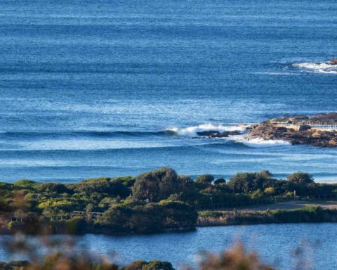
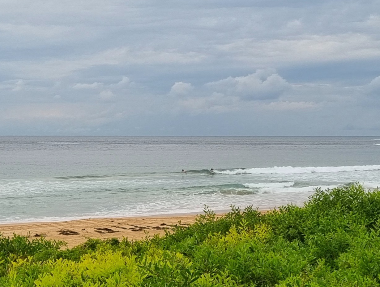
Another breezy and chilly day coming up with only a hint of a south line showing at Dee Why as of 0730. There is some dead south swell according to the MHL buoy but while it’s around the 1.5 metre mark at sea, the period is a touch under 8 seconds, so even exposed spots will be struggling to be much above waist high this morning. Tide was low at 0500 and will be back to a 1.4m high at 1115. The tidal push may help the swell a bit, but with 15-20 kts of SW wind expected, I’m not overly hopeful of anything much in the way of an improvement.
Tomorrow may or may not see an uptick in swell. The ECM model shows swell staying at about the same or even slightly smaller size and period across the day, while the Wavewatch model reckons size could come up a touch and the period could move out to 12 seconds.
But on Thursday Huey looks like getting off his backside in a big way. Wavewatch says dead south 3.4 metres at 14 seconds for the early, while ECM says naw, only 1.7 m at 12 seconds from the south. By midnight both are predicting 4+ metres. The Bureau says 4-5 m in the morning Wednesday, increasing to 5-7 m in the afternoon. Ulp. Wind is set to be powering along at 20-30kts from the west early, then swinging SW and stepping up into the 30-40 kt range during the morning. So, challenging conditions that pretty obviously are only for the most experienced and fittest riders. The rest of us can watch.
Friday both the ECM and Wavewatch are saying it’ll still be 4+ metres at 12-13 sec (having peaked overnight) and that it’ll be closer to 3 m by dark. Wind could be SW early but then fading during the morning and coming around to NE later. Saturday morning the call is for S-SE swell 2 metres at 11-12 sec with 8-10 kts of NW early, going west and maybe around to the east, but light for the afternoon.
So, rather interesting outlook.
Have a great Tuesday everyone!

Weather Situation
A strong high pressure system lies near the Bight while a number of fronts moving across the Southern Ocean will approach New South Wales waters over the coming days. The first of these fronts will clip southern waters Wednesday morning, with a second stronger front moving along the entire New South Wales coast on Thursday. These systems will bring periods of vigorous winds, and from Wednesday to Friday, very powerful swell.
Forecast for Tuesday until midnight
Strong Wind Warning for Tuesday for Sydney Coast
Winds
West to southwesterly 15 to 25 knots, reaching up to 30 knots offshore early in the morning and again in the late evening.
Seas
1 to 2 metres, increasing to 2 to 3 metres offshore.
Swell
Southerly 1 to 1.5 metres inshore, increasing to 1.5 to 2 metres offshore.
Weather
Sunny.
Wednesday 21 August
Strong Wind Warning for Wednesday for Sydney Coast
Winds
Westerly 25 to 30 knots.
Seas
2 to 3 metres.
Swell
Southerly 1 to 1.5 metres, increasing to 2 to 3 metres during the afternoon.
Weather
Sunny.
Caution
Large and powerful surf conditions in the afternoon and evening are expected to be hazardous for coastal activities such as crossing bars by boat and rock fishing.
Thursday 22 August
Winds
Westerly 20 to 30 knots turning south to southwesterly 30 to 40 knots during the morning.
Seas
2 to 3 metres, increasing to 3 to 4 metres during the afternoon.
Swell
Southerly 4 to 5 metres, increasing to 5 to 7 metres during the afternoon or evening.
Weather
Partly cloudy. 50% chance of showers.
Caution
Large and powerful surf conditions are expected to be hazardous for coastal activities such as crossing bars by boat and rock fishing.


