Hello Friends,
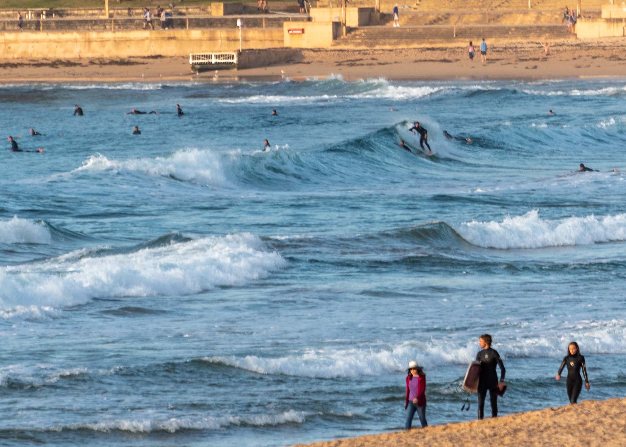
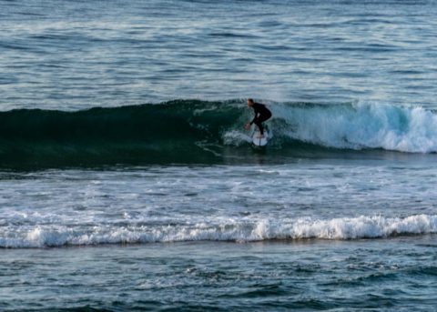
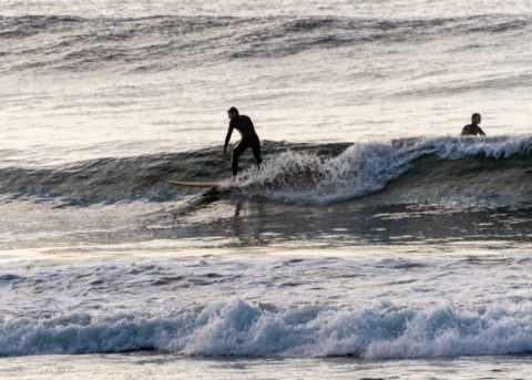
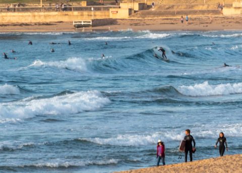
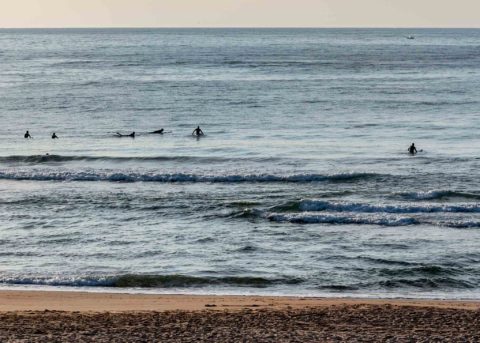
Rather smal, gutlessl and inconsistent, but there were definitely little moments of energy at the Dee Why to Longy stretch as of 0630. Wind was a barely-there NW breeze and out at sea the MHL buoy was seeing 1.4 metres of 13 second bump from the SE. Water’s still on 18C but we’re headed for a very warm 33C air temp today. Tide was low a little before 0600 and will be back to a 1.6 m high at 1230.
The light wind will pick up this morning ahead of a midday south change. So, better get down there quick smart.
As for the outlook, well the amazingly reliable Goat has posted his predictions for the week ahead and as always I commend them to you!
Weather Situation
A high pressure system over the northern Tasman Sea, that is directing generally northerly winds along the New South Wales coast, is expected to weaken during Saturday. Meanwhile, a gusty southerly change is expected on the southern and central parts of the coast today before reaching the north coast early Saturday. The next change is set to arrive next Monday or Tuesday.
Forecast for Friday until midnight
Strong Wind Warning for Friday for Sydney Coast
Winds
Northerly 15 to 20 knots shifting southerly 20 to 30 knots in the middle of the day.
Seas
1 to 1.5 metres, increasing to 1.5 to 2.5 metres by early evening.
1st Swell
Southerly around 1 metre.
2nd Swell
Northeasterly around 1 metre.
Weather
Sunny.
Saturday 5 October
Winds
Southerly 15 to 20 knots turning east to southeasterly below 10 knots in the late afternoon.
Seas
1 to 1.5 metres.
1st Swell
Southerly 1 to 2 metres.
2nd Swell
Northeasterly 1 to 1.5 metres, decreasing below 1 metre during the morning.
Weather
Cloudy. 80% chance of showers in the morning.

