Hello Friends,
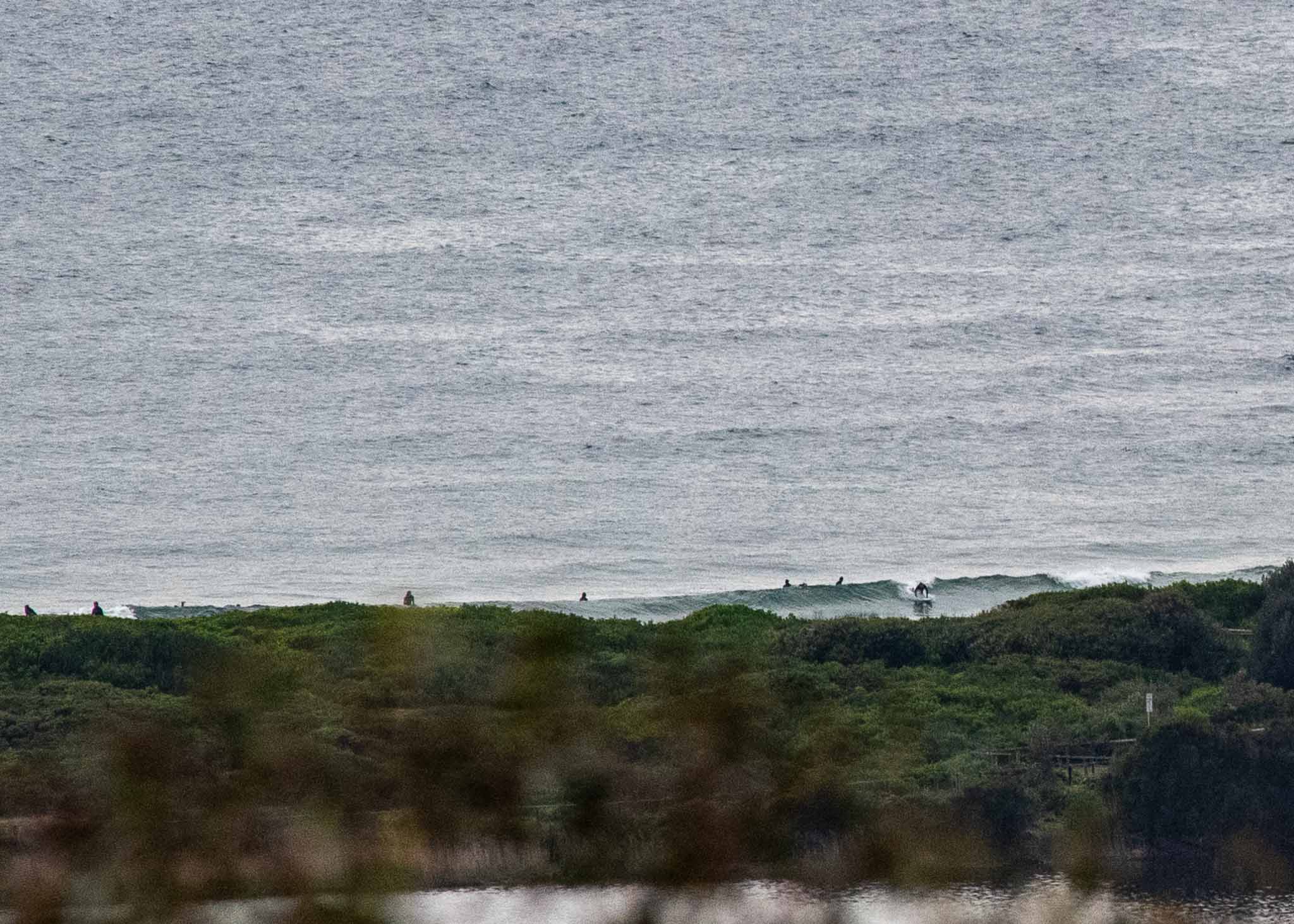
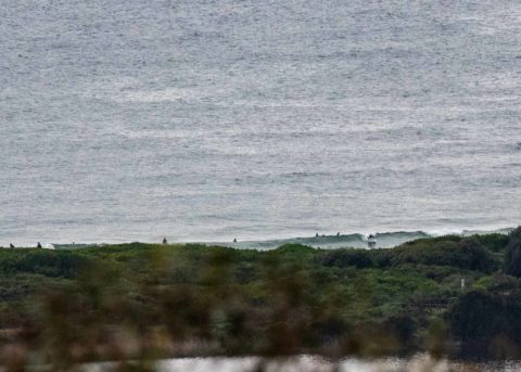
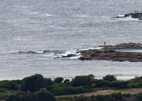
Grey skies and a light NNW breeze texturing the surface for the first shift at Dee Why this morning. As the pictures show, sets were struggling to get into the surfable range. I’d call it ankle to knee with occasional waist high bombs. Low tide’s at 0850 this morning and then back to the high around 1530. The wind’s due to pick up into the 20-25 kt range later. The MHL buoy was showing a metre of 8-second SSE bump as of 0600. Beachwatch is warning that water pollution is possible from North Narrabeen to Manly thanks to yesterday’s rainy spell.
Outlook is for the present weak and small swell to continue through to around Wednesday at least. At that point the GFS and Wavewatch models both show the arrival of short period south bump along with stiff SSW wind. Thereafter it looks as though we should have some sort of surfable size swell into the weekend, but the period predictions are short and wind could be a factor.
Have a top old Sunday everyone!
Weather Situation
A high pressure system near Tasmania is pushing a ridge along the New South Wales coast today in the wake of a trough and southerly change, and will bring a return to northerly winds in most areas tonight or Sunday. The high will move further east and weaken during Sunday as the next trough approaches from the west. This trough is expected to bring another southerly change southern and central parts of the coast late Sunday or Monday, continuing to the north during Tuesday, reinforced by a passing cold front.
Forecast for Sunday until midnight
Strong Wind Warning for Sunday for Sydney Coast
Winds
North to northeasterly 15 to 20 knots increasing to 20 to 25 knots in the middle of the day. Winds reaching up to 30 knots during the afternoon and evening.
Seas
Around 1 metre, increasing to 1.5 metres during the morning, then increasing to 2 to 3 metres around midday.
Swell
Southerly around 1 metre, increasing to 1 to 1.5 metres during the morning, then decreasing to around 1 metre around midday.
Weather
Partly cloudy.
Monday 7 October
Strong Wind Warning for Monday for Sydney Coast
Winds
Northerly 15 to 20 knots, reaching up to 30 knots offshore early in the morning. Winds tending southerly early in the morning then tending east to southeasterly 10 to 15 knots in the middle of the day.
Seas
2 to 3 metres, decreasing to 1 to 1.5 metres during the morning.
Swell
Northeasterly below 0.5 metres, increasing to 1 to 1.5 metres during the morning, then decreasing to around 1 metre around midday.
Weather
Partly cloudy.
Tuesday 8 October
Winds
Variable about 10 knots becoming westerly 15 to 20 knots during the morning then tending southwesterly 20 to 30 knots during the afternoon.
Seas
Below 1 metre, increasing to 2 to 3 metres during the afternoon.
1st Swell
Southerly 1 to 1.5 metres.
2nd Swell
Northeasterly around 1 metre.
Weather
The chance of a thunderstorm in the morning. Mostly sunny afternoon.

