Hello Friends,
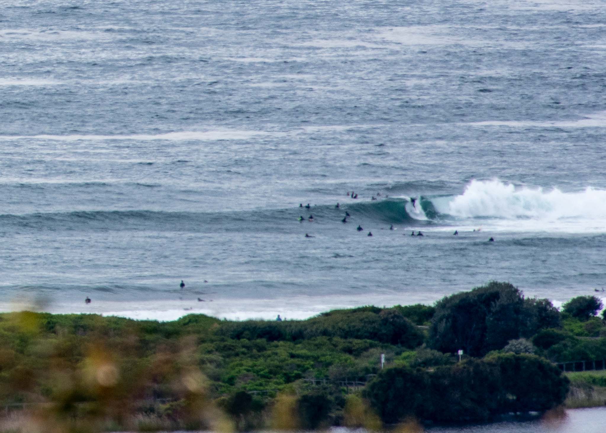
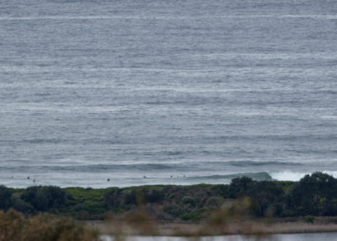
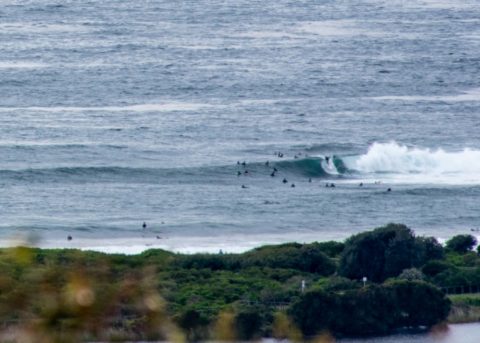
Shoulder plus faces on sets this morning at Dee Why. Before 0900 the wind was coming lightly from the west. It should swing around to the SE soon, but with luck it won’t blow too hard. Swell’s about 2.5 metres out at sea and coming from the SSE at about 13 seconds apart. Tide peaked at 0850 and is now dropping to the low at 1455.
From the look of the forecast models, the swell should fade gradually but still be producing something tomorrow morning. After that though it would seem the rest of the week will be small to very small. So, if you’re keen, you can join the Sunday crowds or jam in a quick sesh before work on Monday.
Have a great Sunday everyone!
Weather Situation
A high pressure system over the southern Tasman Sea extends a ridge along the New South Wales coast, directing south to southeasterly winds over New South Wales waters. Winds will shift north to northeasterly over the next day or two as an inland trough deepens and the ridge moves offshore. A southerly change is expected to affect the southern coast on Tuesday.
Forecast for Sunday until midnight
- Winds
- South to southeasterly about 10 knots becoming east to northeasterly in the evening.
- Seas
- Below 1 metre.
- Swell
- Southeasterly 2 to 2.5 metres.
- Weather
- Partly cloudy.
Monday 14 October
- Winds
- North to northeasterly about 10 knots increasing to 15 to 20 knots in the morning.
- Seas
- Around 1 metre, increasing to 1 to 1.5 metres during the afternoon or evening.
- Swell
- Southeasterly 2 metres, decreasing to 1.5 metres during the morning.
- Weather
- Partly cloudy.
Tuesday 15 October
- Winds
- Northerly 10 to 15 knots tending northeasterly during the afternoon.
- Seas
- 1 to 1.5 metres.
- Swell
- Southeasterly 1 to 1.5 metres, decreasing to around 1 metre during the morning.
- Weather
- Mostly sunny.

