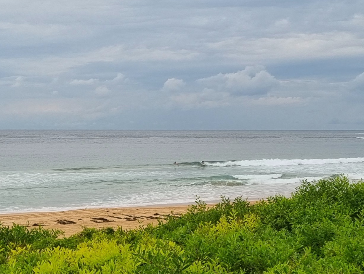
Forecast for the rest of Thursday
- Summary

- Cloudy. Smoke haze.
- Chance of any rain: 20%

Sydney area
Cloudy. Slight (20%) chance of a shower. Areas of smoke haze. Winds easterly 15 to 20 km/h increasing to 25 km/h before turning southeasterly 15 to 20 km/h in the evening.
Sun protection recommended from 9:00 am to 4:20 pm, UV Index predicted to reach 10 [Very High]
Friday 3 January
- Summary

- Min 21
- Max 28
- Cloudy. Possible smoke haze.
- Chance of any rain: 20%

Sydney area
Partly cloudy. Slight (20%) chance of a shower in the morning. Areas of smoke haze. Light winds becoming east to northeasterly 20 to 30 km/h in the early afternoon.
Fire Danger – High
Sun protection recommended from 8:50 am to 4:50 pm, UV Index predicted to reach 12 [Extreme]
7 day Town Forecasts
| Precis Icon | Location | Min | Max |
|---|---|---|---|
| Sydney | 21 | 28 | |
| Penrith | 20 | 33 | |
| Liverpool | 20 | 31 | |
| Terrey Hills | 19 | 27 | |
| Richmond | 19 | 33 | |
| Parramatta | 19 | 30 | |
| Campbelltown | 18 | 32 | |
| Bondi | 22 | 24 |
Saturday 4 January
- Summary

- Min 22
- Max 34
- Smoke haze. Becoming windy.
- Chance of any rain: 5%

Sydney area
Very hot and mostly sunny. Areas of smoke haze. Winds north to northeasterly 15 to 20 km/h tending northwesterly 15 to 25 km/h in the middle of the day then tending north to northeasterly in the evening.
Sun protection recommended from 9:00 am to 4:20 pm, UV Index predicted to reach 9 [Very High]
Sunday 5 January
- Summary

- Min 22
- Max 24
- Smoke haze. Wind easing.
- Chance of any rain: 20%

Sydney area
Becoming cloudy. Slight (20%) chance of a shower. Areas of smoke haze. The chance of a thunderstorm in the evening. Winds southerly 30 to 45 km/h decreasing to 20 to 30 km/h during the morning then turning southeasterly 25 to 35 km/h during the day.
Sun protection recommended from 9:20 am to 3:50 pm, UV Index predicted to reach 8 [Very High]
Monday 6 January
- Summary

- Min 20
- Max 24
- Shower or two. Smoke haze.
- Possible rainfall: 4 to 8 mm
- Chance of any rain: 70%

Sydney area
Cloudy. High (70%) chance of showers. Areas of smoke haze. The chance of a thunderstorm. Winds southeasterly 15 to 20 km/h turning easterly during the afternoon.
Tuesday 7 January
- Summary

- Min 21
- Max 28
- Shower or two.
- Possible rainfall: 1 to 8 mm
- Chance of any rain: 60%

Sydney area
Cloudy. Medium (60%) chance of showers. The chance of a thunderstorm. Light winds becoming easterly 15 to 20 km/h during the day.
Wednesday 8 January
- Summary

- Min 22
- Max 28
- Partly cloudy.
- Chance of any rain: 20%

Sydney area
Partly cloudy. Slight (20%) chance of a shower. The chance of a thunderstorm. Light winds becoming south to southeasterly 15 to 25 km/h during the day.
Thursday 9 January
- Summary

- Min 22
- Max 29
- Partly cloudy.
- Chance of any rain: 10%

Sydney area
Partly cloudy. The chance of a thunderstorm later in the day. Winds southerly 15 to 20 km/h tending southeasterly during the day

