The Goat’s Surf Forecast
Surf forecast issued Thursday 23 January 2020: Seven day outlook for Sydney:
Bit warmish today, with a bit of dust in the air. The wind is expected to turn south early tomorrow morning to cool down the temp for you.
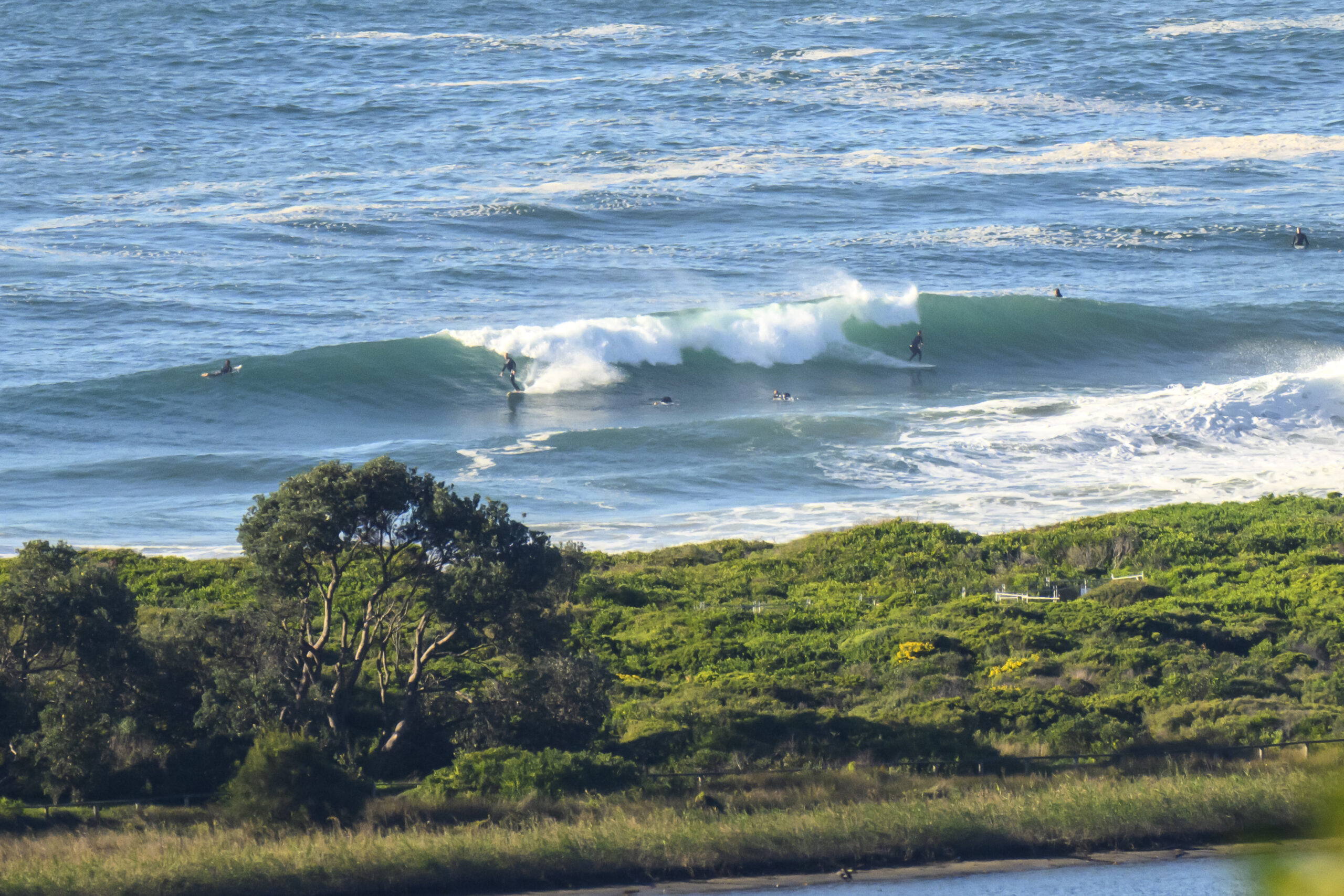
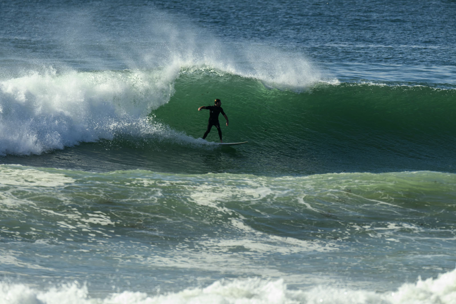
My mates and I have looked at the surf all week, gone in for swims because of the crowd (it’s school hols and those who had gone south came home and stayed home) and the waves (not to my liking anytime I saw them), but at the beach I’ve heard other people, all young people, raving about the great surf they had here or there, whenever. Anyway, good luck to them; glad they’re having fun.
The coming week is also likely to suit the keen, enthusiastic, young, fit etc, who’ll be best able to make the most of continuing Noreast windswell. Factors determining how good the surf will be each day this week will be tides, banks (I haven’t seen a good one for ages) and wind. And of course it’ll be bigger at southern ends of beaches (but windy at times).
Surf outlook
Friday: down a bit from today, say around the middle of the 1-2 metre range North East
Saturday: somewhere around 1, 1+ metres North East
Sunday: smaller East North East
Monday: around 1 metre East North East
Tuesday: ditto North East
Wednesday: up a little from the South, say 1-1+ metres East South East
Thursday: around 1 metre East South East.
At least someone’s having fun!
TG
Up in the Air


Winds
https://www.windy.com/-33.855/151.216?-34.375,151.216,8,i:pressure,m:cIJaknc
Down in the Sea
Water temp is around 23, 24 at the moment

Tides
https://www.rms.nsw.gov.au/documents/maritime/usingwaterways/tides-weather/tide-tables-2019-2020.pdf
Weather from the Bureau
- Summary

- Dust haze. Possible shower/storm later.
- Chance of any rain: 30%

Sydney area
Partly cloudy. Areas of dust haze. Slight (30%) chance of a shower, most likely later this evening. The chance of a thunderstorm with gusty winds. Winds northwesterly 25 to 40 km/h tending northerly 15 to 25 km/h in the late evening.
A POOR Air Quality Forecast alert is issued by the Department of Planning, Industry and Environment (DPIE) due to elevated particle levels in Sydney for Thursday 23 January 2020.
Sun protection recommended from 8:50 am to 5:00 pm, UV Index predicted to reach 12 [Extreme]
Friday 24 January
- Summary

- Min 24
- Max 28
- Early haze. Shower or two.
- Possible rainfall: 0 to 4 mm
- Chance of any rain: 60%

Sydney area
Cloudy. Areas of dust haze in the early morning. Medium (60%) chance of showers, most likely in the morning and early afternoon. The chance of a thunderstorm. Winds north to northwesterly 15 to 20 km/h tending southerly 15 to 25 km/h before dawn then tending east to southeasterly in the early afternoon.
A POOR Air Quality Forecast alert is issued by the Department of Planning, Industry and Environment (DPIE) due to elevated particle levels in Sydney for Friday 24 January 2020.
Fire Danger – Low-Moderate
Sun protection recommended from 9:00 am to 5:00 pm, UV Index predicted to reach 12 [Extreme]
7 day Town Forecasts
| Precis Icon | Location | Min | Max |
|---|---|---|---|
| Sydney | 24 | 28 | |
| Penrith | 24 | 33 | |
| Liverpool | 23 | 31 | |
| Terrey Hills | 22 | 27 | |
| Richmond | 24 | 32 | |
| Parramatta | 22 | 30 | |
| Campbelltown | 22 | 31 | |
| Bondi | 23 | 25 |
Saturday 25 January
- Summary

- Min 22
- Max 27
- Possible shower.
- Possible rainfall: 0 to 2 mm
- Chance of any rain: 40%

Sydney area
Cloudy. Medium (50%) chance of showers in the morning and early afternoon. Light winds becoming easterly 15 to 20 km/h in the late afternoon then becoming light in the evening.
Sun protection recommended from 9:00 am to 5:10 pm, UV Index predicted to reach 12 [Extreme]
Sunday 26 January
- Summary

- Min 22
- Max 30
- Partly cloudy.
- Possible rainfall: 0 to 0.2 mm
- Chance of any rain: 30%

Sydney area
Partly cloudy. Medium (40%) chance of showers in the afternoon and evening. The chance of a thunderstorm in the afternoon and evening. Light winds becoming northeasterly 15 to 20 km/h during the afternoon then becoming light during the evening.
Sun protection recommended from 8:50 am to 5:00 pm, UV Index predicted to reach 12 [Extreme]
Monday 27 January
- Summary

- Min 23
- Max 29
- Partly cloudy.
- Possible rainfall: 0 to 1 mm
- Chance of any rain: 30%

Sydney area
Partly cloudy. Medium (40%) chance of showers. The chance of a thunderstorm. Light winds becoming easterly 15 to 20 km/h during the afternoon then becoming light during the evening.
Tuesday 28 January
- Summary

- Min 23
- Max 30
- Partly cloudy.
- Possible rainfall: 0 to 0.4 mm
- Chance of any rain: 30%

Sydney area
Partly cloudy. Medium (40%) chance of showers, most likely later in the day. Light winds becoming southeasterly 15 to 20 km/h during the day.
Wednesday 29 January
- Summary

- Min 22
- Max 27
- Cloudy.
- Possible rainfall: 0 to 0.4 mm
- Chance of any rain: 30%

Sydney area
Cloudy. Slight (30%) chance of a shower. The chance of a thunderstorm. Light winds becoming easterly 15 to 20 km/h during the day.
Thursday 30 January
- Summary

- Min 22
- Max 28
- Cloudy.
- Chance of any rain: 20%

Sydney area
Cloudy. Slight (20%) chance of a shower. Light winds becoming east to northeasterly 15 to 20 km/h during the day


