"Stay happy and you'll be perfectly fine" - Jack Norris
Weak, bumpy but not flat
Posted: 8:28am Thu 13 Feb 2020
Hello Friends,
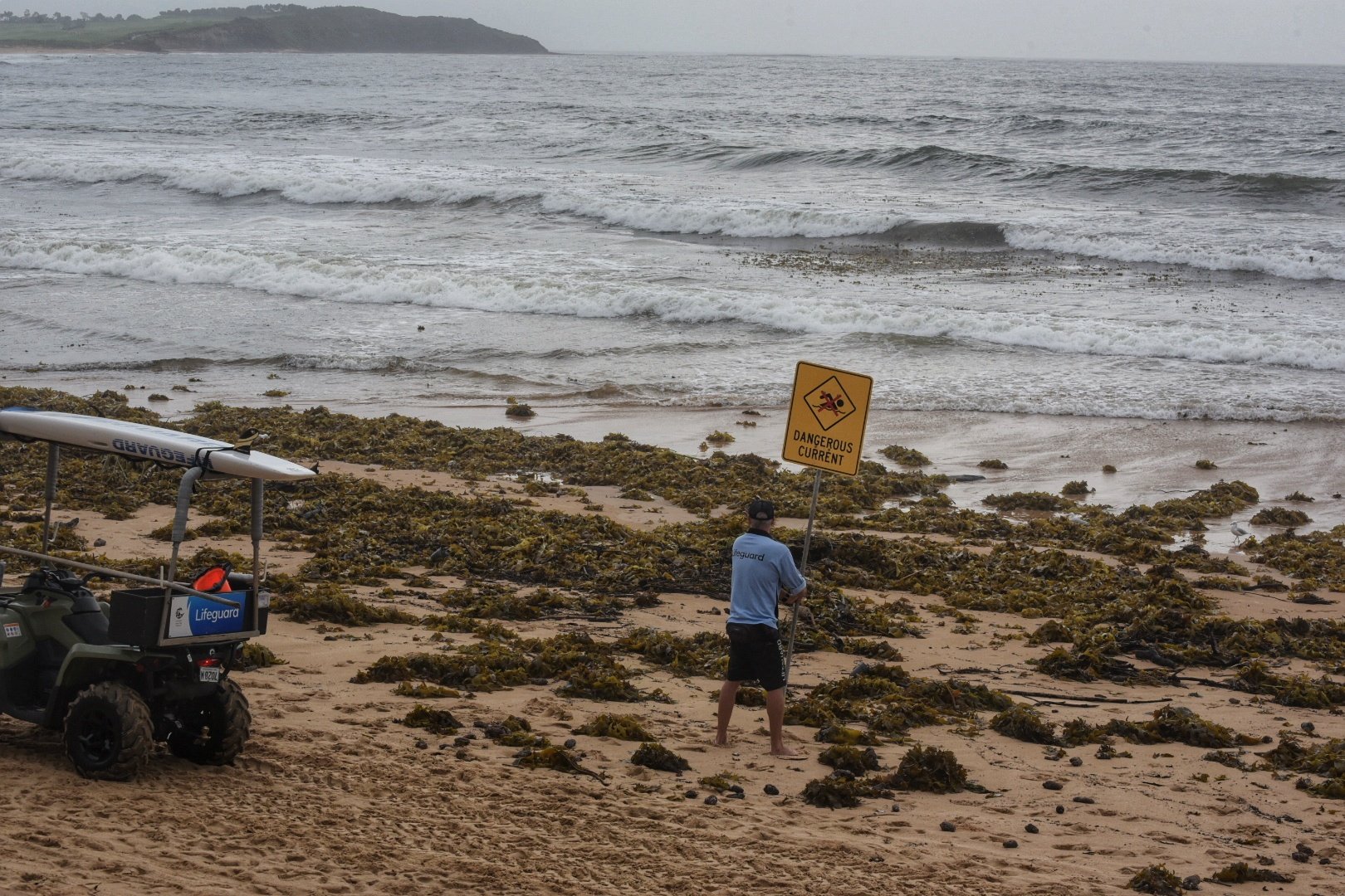
Swell looks to have faded overnight but it’s not totally unsurfable. According to the MHL buoy at 0400, there was 1.8 metres of ESE at 10 second periods. It wasn’t the most interesting looking start to the day either. Skies were solidly overcast and there’s a 90% chance of more rain. Tide was low at 0610 and will be back to 1.89m high at 1225. Water looks ordinary and Beachwatch was advising that pollution was possible pretty much everywhere.
All eyes are on the likely arrival of a brief spike into the big range from the east as an ex-cyclone moves across our swell window in the next 24-48 hours. I reckon the Goat will have a few thoughts on that front later today…
Small and messy at Curly
Heaps of weed and woofy looking water at Dee Why
Heaps of weed and woofy looking water at Dee Why
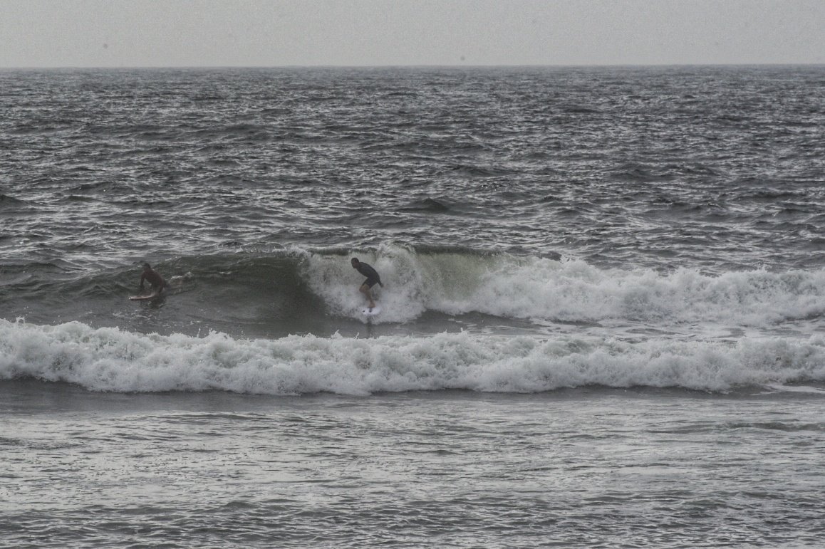
Wave at Dee Why point about 0900
Wave at Dee Why point about 0900
Weather Situation
A high pressure system centred near New Zealand is directing east to northeasterly winds onto the New South Wales coast. Over the next few days Tropical Cyclone Uesi, currently located to the south of New Caledonia, is expected to move to the south to southwest. This system is currently not expected to directly impact New South Wales, however, it may bring periods of increased surf and southeast to southwesterly winds to parts of the coast from Friday, depending on its movement.
Forecast for Thursday until midnight
Winds
Easterly 15 to 20 knots.
Seas
1 to 1.5 metres.
Swell
Northeasterly 2 metres, decreasing to 1.5 metres during the afternoon.
Weather
Cloudy. 95% chance of showers. The chance of a thunderstorm.
Friday 14 February
Winds
Easterly 10 to 15 knots turning southeasterly in the evening.
Seas
1 to 1.5 metres, decreasing to 1 metre during the morning.
Swell
Easterly 1.5 metres, increasing to 2 to 3 metres during the morning.
Weather
Partly cloudy. 60% chance of showers.
Caution
Large and powerful surf conditions are expected to be hazardous for coastal activities such as crossing bars by boat and rock fishing.
Saturday 15 February
Winds
Southeast to southwesterly 15 to 20 knots tending southwesterly during the morning then tending southerly during the afternoon.
Seas
Around 1 metre, increasing to 1 to 1.5 metres offshore during the morning.
Swell
Easterly 3 to 4 metres, tending southeasterly 2 to 2.5 metres during the afternoon.