Hello Friends,
Looks as though you might have a few more showers today. Water quality at most Sydney beaches yesterday was rated ‘pollution likely’, so that may need to be a consideration again today.
Swell was close to 3 metres at sea and nearly 9 seconds apart but also pretty straight south. Wind was SW early, so right on the high tide at 0710 you’d probably find waist plusses at standouts. Wind is set to swing south later though…
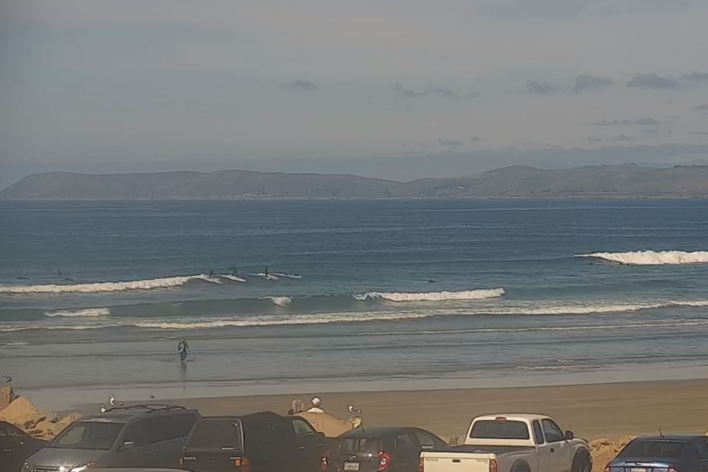
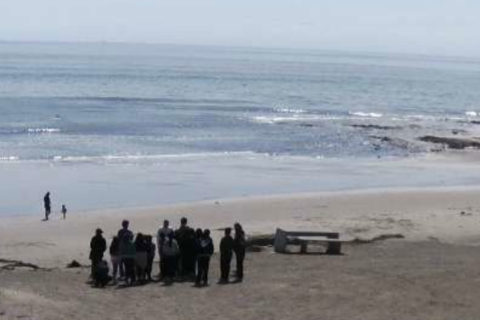
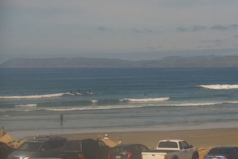
Once again, the surf situation in Santa Barbara is basically flat. There are waist plus waves well north of here on the California central coast. Sadly the outlook is not too wonderful, so once again, just a couple of grabs from the local cams to share…
Weather Situation
A slow-moving high over the Southern Ocean will extend a ridge along the coast through the weekend and into next week.
Forecast for Saturday until midnight
Winds
Southerly 15 to 20 knots, reaching up to 25 knots in the evening.
Seas
1 to 2 metres.
1st Swell
Southerly 1 to 1.5 metres, increasing to 1.5 to 2 metres by early evening.
2nd Swell
Easterly 1 to 1.5 metres.
Weather
Partly cloudy. 50% chance of showers.
Sunday 8 March
Winds
Southerly 15 to 20 knots.
Seas
1 to 2 metres.
1st Swell
Southerly 1.5 to 2 metres.
2nd Swell
Easterly 1 to 1.5 metres.
Weather
Partly cloudy.
Monday 9 March
Winds
Southerly 15 to 20 knots decreasing to about 10 knots during the evening.
Seas
1 to 1.5 metres.
1st Swell
Southerly 1.5 to 2 metres.
2nd Swell
Easterly around 1 metre.
Weather
Partly cloudy. 50% chance of showers


