
Hello Friends,
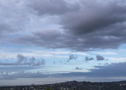
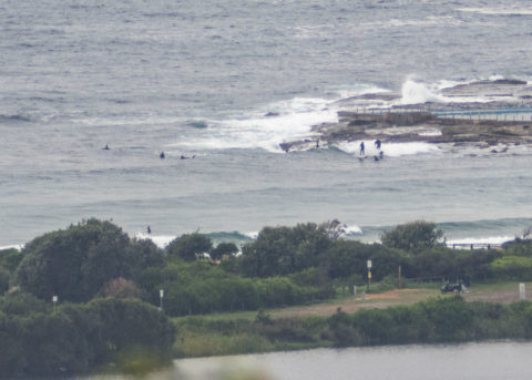
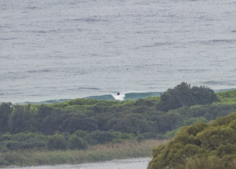
Grey skies again this morning, and a small, glassy little swell delivering knee to waist high bumps for the keen. Wind was light WNW early but due to come around to the south later. Tide is high at 0910 and according to the latest buoy data, swell was 1.3 metres from the ESE at about 7 seconds apart.
Outlook remains so-so I’d say, but let’s see what the Goat has to tell us later today…
Take care when you’re out and may you and yours go well!
Weather Situation
South to southeasterly winds will slowly shift easterly and then northeasterly as a high pressure system near Tasmania drifts over the Tasman Se during Thursday and Friday. A strong cold front is then forecast to cross New South Wales on the weekend, strengthening winds over coastal waters and bringing a vigorous south to southwesterly change later Saturday and early Sunday.
Forecast for Thursday until midnight
Winds
Southerly 10 to 15 knots shifting northeasterly in the afternoon and evening.
Seas
Around 1 metre.
Swell
Southerly 1 to 1.5 metres, decreasing to around 1 metre around midday.
Weather
Cloudy. 80% chance of showers.
Friday 10 April
Winds
North to northeasterly 10 to 15 knots tending north to northwesterly 15 to 20 knots in the evening.
Seas
Around 1 metre, increasing to 1 to 1.5 metres during the afternoon.
Swell
Southerly around 1 metre.
Weather
Partly cloudy. 70% chance of showers. The chance of a thunderstorm in the afternoon and evening.
Saturday 11 April
Winds
West to northwesterly 15 to 25 knots shifting southwesterly 25 to 30 knots during the afternoon.
Seas
1 to 2 metres, increasing to 2 to 3 metres during the afternoon.
1st Swell
Southerly around 1 metre.
2nd Swell
Northeasterly around 1 metre.
Weather
Partly cloudy. 50% chance of showers.

