Hello Friends,
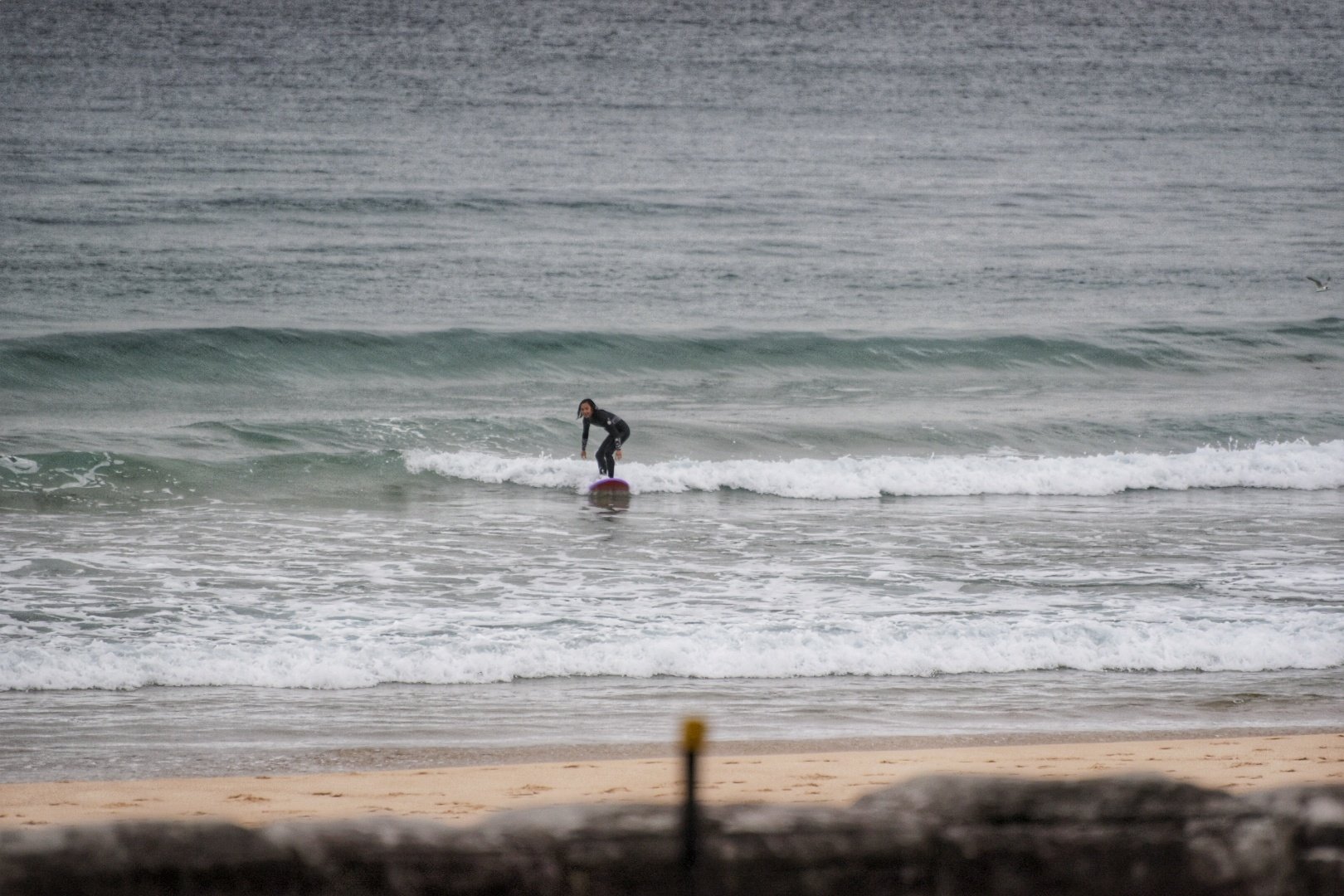
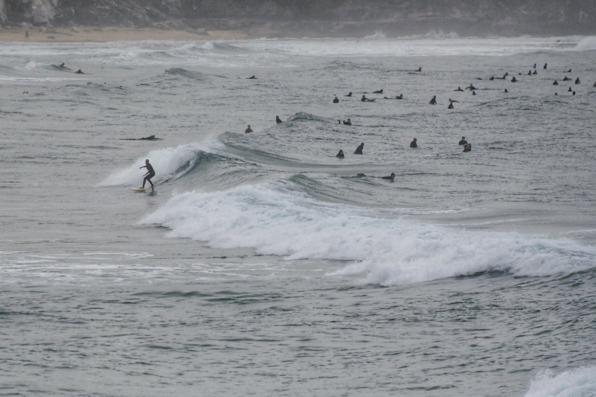
Grey skies and a light drizzle as Monday got started. Wind was coming lightly from the west early but it’s due to swing east to SE before long. Waves are looking pretty small and weak. Best exposures were in the knee to waist high range.
Gave my school teacher wife a ride to Manly so had a chance to check the beaches
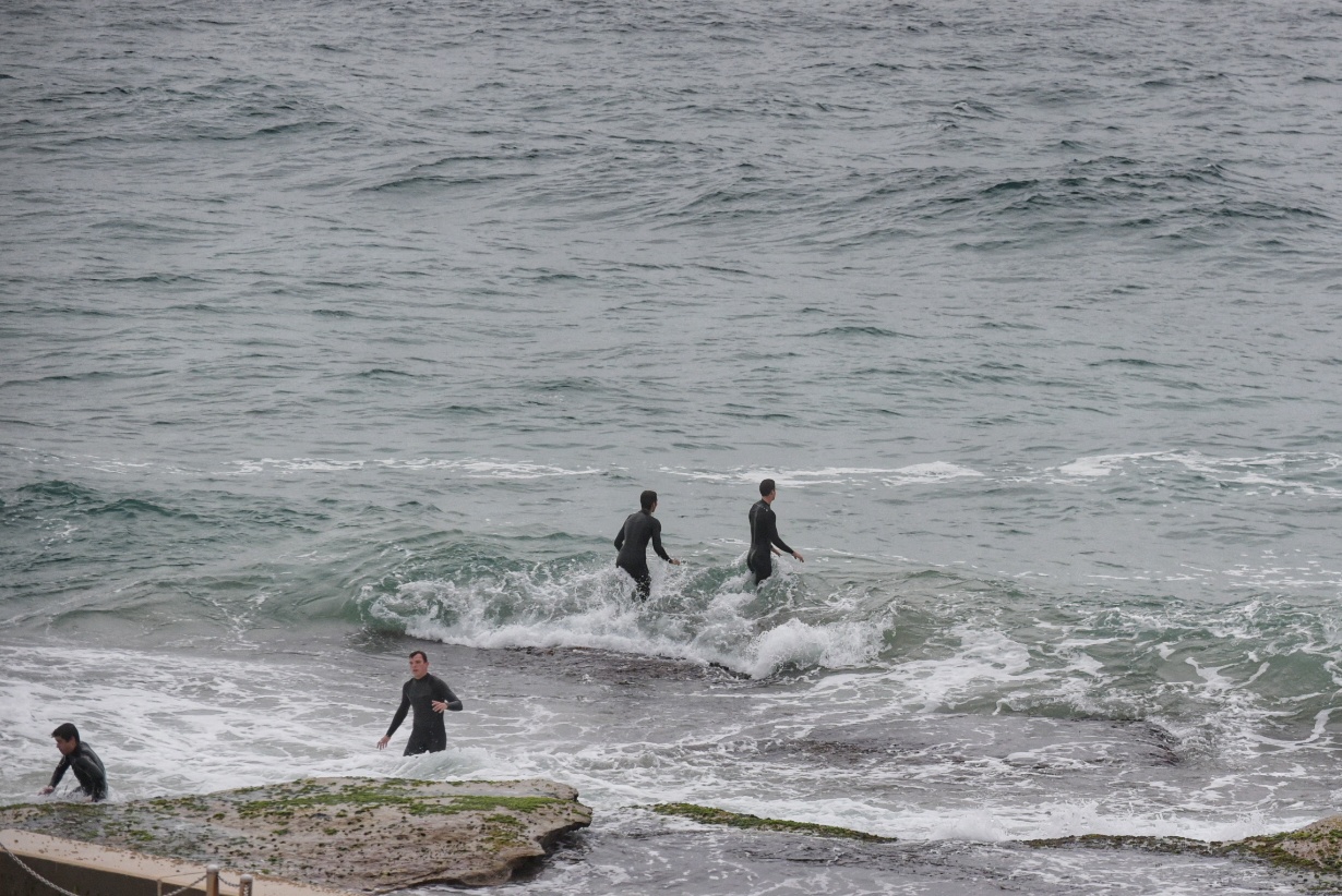
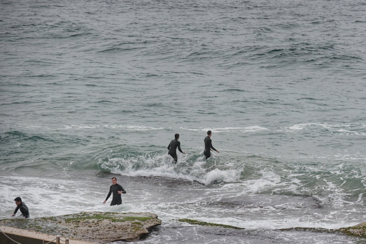
Manly was really tiny, maybe ankle to knee high on sets. Curly was into the waist high range on the biggest ones but it was extremely inconsistent. Dee Why was a touch smaller and just as infrequent. Drizzle going to light rain when I was out.
Swell at sea was 1.6 metres at 7 seconds apart from the SSE (169°). Next tide is a high at 1100.
Just installed the COVIDSafe app. The virus is now endemic and since there are NO proven antivirals, nor any vaccine, keeping track of COVID-19’s whereabouts is our only strategy for now.
By Order of the Federal Government, our beaches are open for exercise only – surfing, swimming, running and walking. Beaches will be closed due to unsafe conditions and or mass gatherings. All pools are closed at this time.
Please see some commonly asked questions about the beach closures.
If people are sunbaking or gathering on the beach, they will be asked to move along by our lifeguards, rangers or the police.
Due to the risk of Coronavirus and acting on direction of NSW and Federal Governments, Council has closed many public areas. View the latest updates on the evolving situation with Coronavirus (COVID-19).
In addition, it is against the law to gather with more than two people in public, except:
- for members of the same household
- where the gathering is essential for work or education
- If you go out, stay 1.5 metres away from other people at all times.
The rules are also now enforceable and Police are issuing fines of $1000 for individuals and $5000 for companies. These are difficult circumstances and we appreciate your patience and understanding.
Weather Situation
A trough pushing through to northern waters will bring a weakening southerly change to the far northern coast today, before a new high pressure system moves over the Tasman Sea by this evening. Northerly winds are expected to increase mid-week ahead of another, stronger, cold front which looks to bring a vigorous west to southwesterly change on Thursday.
Forecast for Monday until midnight
Winds
Southerly 15 to 20 knots decreasing to 10 to 15 knots early then turning east to southeasterly below 10 knots by midday and northeasterly by evening.
Seas
1 to 1.5 metres, decreasing below 1 metre during the morning.
Swell
Southerly below 1 metre, increasing to 1 to 2 metres during the morning.
Weather
Partly cloudy. 50% chance of showers inshore.
Tuesday 28 April
Winds
Northeasterly 15 to 20 knots.
Seas
Below 1 metre, increasing to 1 to 2 metres during the morning.
Swell
Southerly 1 to 1.5 metres, decreasing to around 1 metre during the morning.
Weather
Partly cloudy.
Wednesday 29 April
Winds
Northeasterly 15 to 20 knots tending northerly 15 to 25 knots during the morning.
Seas
1 to 1.5 metres, increasing to 1.5 to 2.5 metres offshore.
Swell
Southerly around 1 metre.
Weather
Partly cloudy. The chance of a thunderstorm


