Hello Friends,
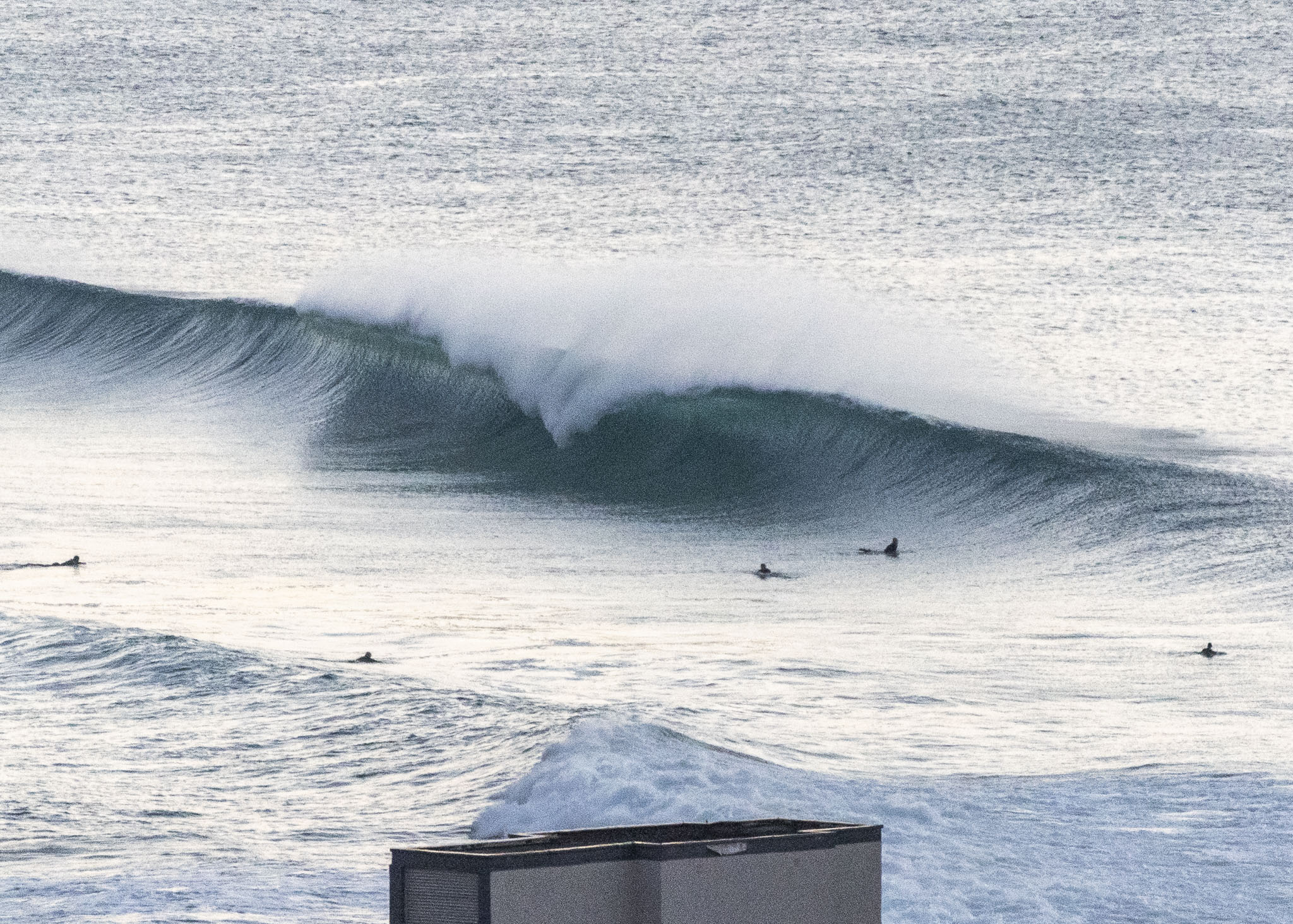
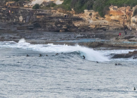
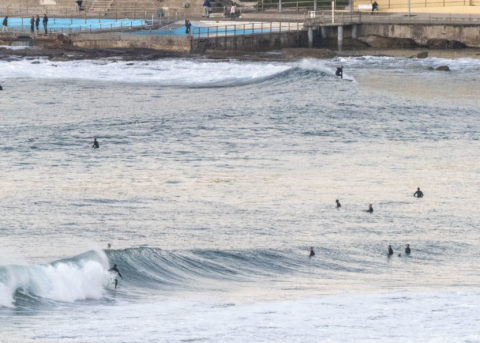
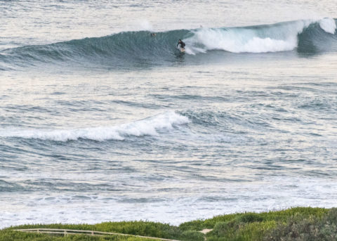
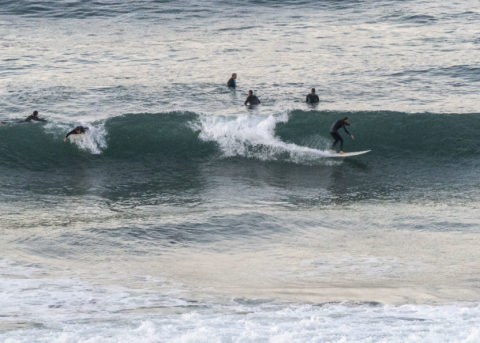
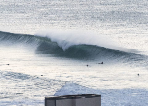
Short version: get out there! Swell is 2 metres at 11 seconds from 137° (ESE) as of 0730. So it’s down a bit from yesterday, but still pretty solid with bomb set wave faces at magnets showing head and a bit. Naturally it’s busy, but it also seems to be pretty consistent. It looks as though this morning is the plan because the BoM and the modelling tells us to expect it to weaken as the day goes along. That said, I reckon there’ll still be a few waves at dusk.
First tide of the day is a high at 0835. Water is about 20.
Outlook is generally for the swell to drop back into the marginal range for the coming week.
Go well!
Weather Situation
A high pressure system over the Bight extends a ridge across New South Wales, and is expected to slowly move east over the next few days. Meanwhile, a cold front slipping to the south of the state on Saturday will leave a weak low pressure trough lingering near the New South Wales coast on Sunday and bring freshening southerly winds to coastal waters on Sunday and Monday. This trough is forecast to erode at the start of next week, as the high pressure system makes its way east to lie over the Tasman Sea.
Forecast for Saturday until midnight
Winds
Variable about 10 knots.
Seas
Below 1 metre.
Swell
South to southeasterly 1.5 to 2 metres, decreasing to 1 to 1.5 metres in the middle of the day.
Weather
Partly cloudy.
Sunday 7 June
Winds
West to northwesterly below 10 knots becoming south to southeasterly early in the morning.
Seas
Below 1 metre.
Swell
Southerly 1 to 1.5 metres.
Weather
Partly cloudy. 80% chance of showers.
Monday 8 June
Winds
Southerly 15 to 20 knots turning southeasterly 10 to 15 knots during the afternoon.
Seas
1 to 1.5 metres.
Swell
Southerly 1.5 metres.
Weather
Partly cloudy. 95% chance of showers.

