Hello Friends,
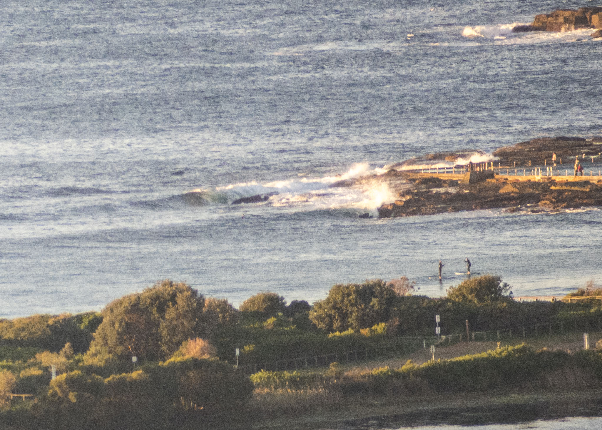
Another beautiful and cold morning along the beaches without any real sign of waves. Out at sea the swell is around a metre at 8 seconds from the east. It looks like we could see a little bump in energy levels tomorrow afternoon, but the wind and rainy periods will likely work against the stoke level. Maybe Thursday or Friday…
Have a top old Tuesday everyone!

Weather Situation
A high pressure system over central Australia extends a ridge across New South Wales, with a cold front expected to slip to the south today. Winds are forecast to turn southerly over the waters from Wednesday, as the front slips away south and the high pressure system slowly moves east to be positioned over the Tasman Sea by Thursday.
Forecast for Tuesday until midnight
Winds
Westerly 10 to 15 knots, increasing to 15 to 20 knots this morning then tending southwesterly in the evening.
Seas
1 to 1.5 metres.
Swell
East to southeasterly around 1 metre.
Weather
Sunny.
Wednesday 17 June
Winds
Southwesterly 15 to 20 knots turning southeasterly in the morning.
Seas
1 to 1.5 metres.
1st Swell
Southerly below 1 metre, increasing to 1.5 to 2 metres during the afternoon.
2nd Swell
Easterly 1 to 1.5 metres.
Weather
Partly cloudy.
Thursday 18 June
Winds
Southeasterly 10 to 15 knots turning east to northeasterly below 10 knots during the morning.
Seas
Around 1 metre.
1st Swell
Southerly 1 to 1.5 metres.
2nd Swell
Easterly around 1 metre.
Weather
Partly cloudy.

