
Hello Friends,
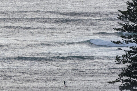
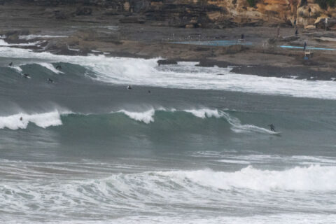
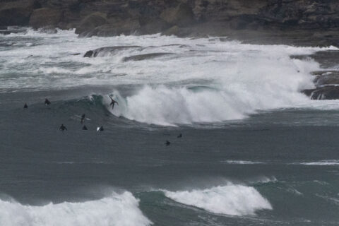
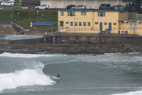
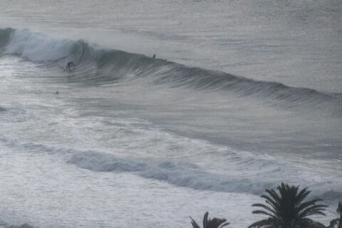
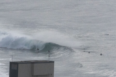
A few showers about as Saturday morning got started. It was a chilly 9C just before sunrise and the wind was coming lightly from the WNW. Out at sea the swell was in the 2-3 metre range and coming from the SE at 12-13 seconds apart. Tide was low at 0705 and going to the high at 1315. Water is still 19C, which will be a degree below the high for Saturday.
The wind looks set to drift around to the S to SSE by late morning and at the same time, the Bureau tells us that the swell should decrease a little. Tomorrow’s surf prospects are less exciting as the energy levels fade further. But, that said, it shouldn’t go flat and then it’s due to perk up a touch for Monday and Tuesday.
Weather Situation
A high pressure system over southeast Australia is forecast to remain near-stationary through the weekend, maintaining generally southerly winds over coastal waters. The high is forecast to weaken and shift to the Tasman Sea early next week as a series of cold fronts approach from the west.
Forecast for Saturday until midnight
Winds
Southerly 10 to 15 knots.
Seas
1 to 1.5 metres.
1st Swell
Southerly 1.5 to 2 metres, decreasing to 1 to 1.5 metres around midday.
2nd Swell
Southeasterly 1 to 1.5 metres.
Weather
Partly cloudy.
Sunday 28 June
Winds
Southerly 10 to 15 knots.
Seas
Below 1 metre.
1st Swell
Southerly 1 to 1.5 metres.
2nd Swell
Southeasterly around 1 metre.
Weather
Partly cloudy. 60% chance of showers.
Monday 29 June
Winds
South to southwesterly about 10 knots.
Seas
Below 1 metre.
Swell
Southerly below 1 metre, tending southeasterly 1 to 1.5 metres during the morning.
Weather
Partly cloudy. 60% chance of showers.
Please be aware
Wind and wave forecasts are averages. Wind gusts can be 40 per cent stronger than the forecast, and stronger still in squalls and thunderstorms. Maximum waves can be twice the forecast height.
Nearby Coastal Waters
See detailed wind and wave forecasts on MetEye
This forecast is also available via scheduled broadcasts on marine radio.
Latest Coastal Observations
Tide Predictions
Marine Knowledge Centre – explanations and definitions
The next routine forecast will be issued at 4:05 pm EST Saturday.
Product IDN11009
