Hello Friends,
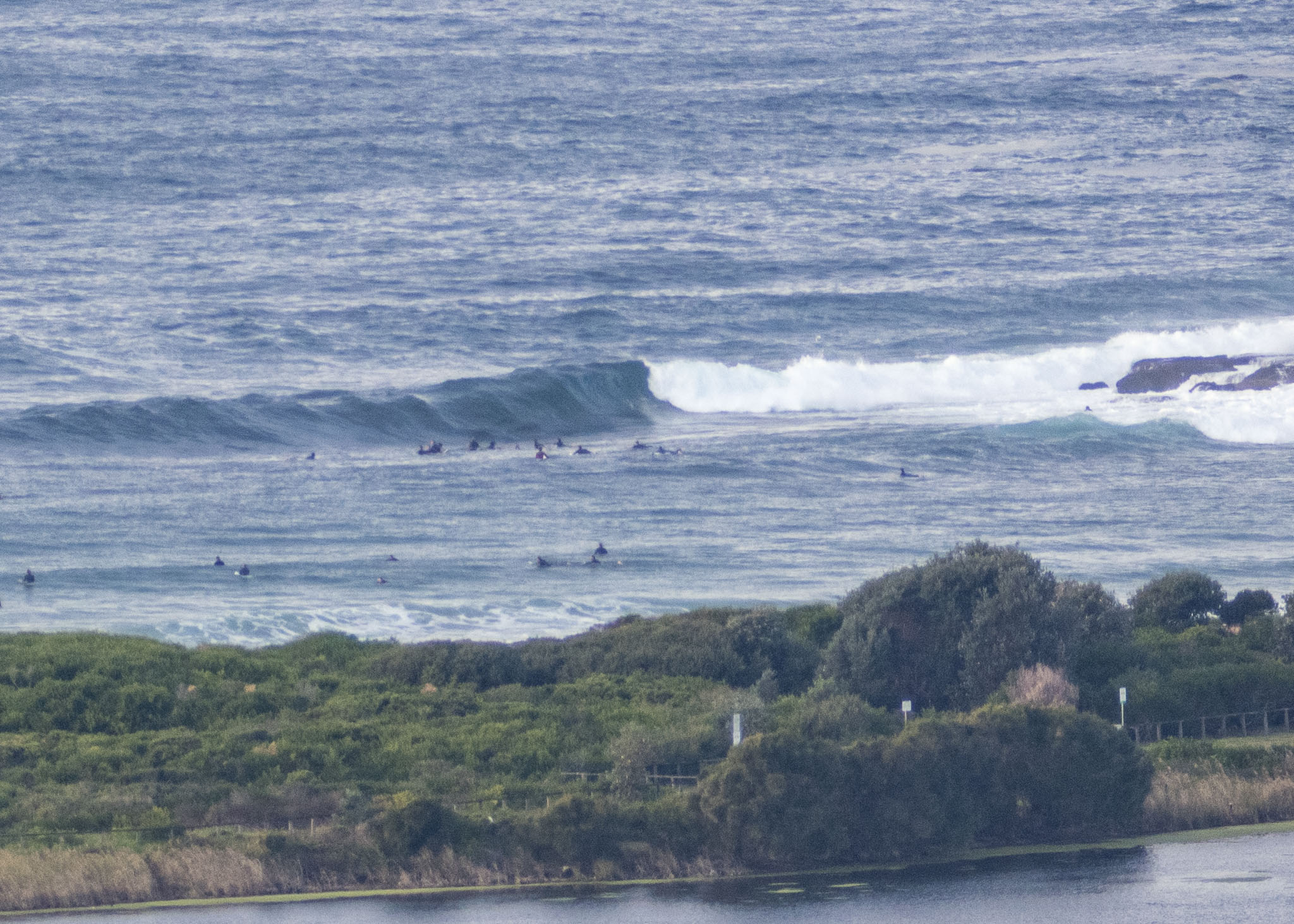
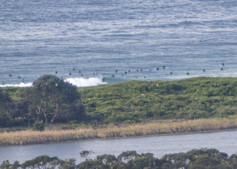
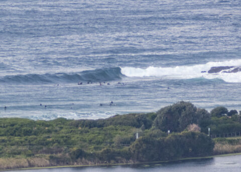
Sets were into the head plus range at the point and along the beach when I looked at it for the first time around 0830 this morning. Wind was light from the WNW and out at sea the buoys were seeing 1.6-2 m at 9-10 seconds from the ESE to SSE. So, along with Dee Why, there should be a fair few surf options at beaches near you – just don’t expect it to be uncrowded. The forecast tells us the wind will come around more to the south across the day, but the waves should continue. Beachwatch says the water’s 18C. Tide was low at 0800 and will be back to high at 1420.
Outlook is for the swell to get a a little smaller and weaker but to pretty much stick around – wind willing – in the surfable range through to about midweek.
Have a great Sunday everyone!
Weather Situation
A high pressure system over southeast Australia is forecast to remain near-stationary through the weekend, maintaining generally southerly winds over coastal waters. The high is forecast to weaken and shift to the Tasman Sea early next week as a series of cold fronts approach from the west.
Forecast for Sunday until midnight
Winds
South to southwesterly 10 to 15 knots tending south to southeasterly offshore during the afternoon and evening.
Seas
Around 1 metre.
1st Swell
Southerly 1 to 1.5 metres.
2nd Swell
Southeasterly around 1 metre.
Weather
Partly cloudy. 70% chance of showers.
Monday 29 June
Winds
South to southeasterly about 10 knots.
Seas
Below 1 metre.
Swell
Southerly 1.5 metres, tending southeasterly during the morning.
Weather
Partly cloudy. 80% chance of showers.
Tuesday 30 June
Winds
Variable below 10 knots becoming north to northwesterly 10 to 15 knots during the afternoon.
Seas
Below 1 metre.
Swell
Southeasterly 1 to 1.5 metres inshore, increasing to 1.5 to 2 metres offshore.
Weather
Partly cloudy.

