Hello Friends,
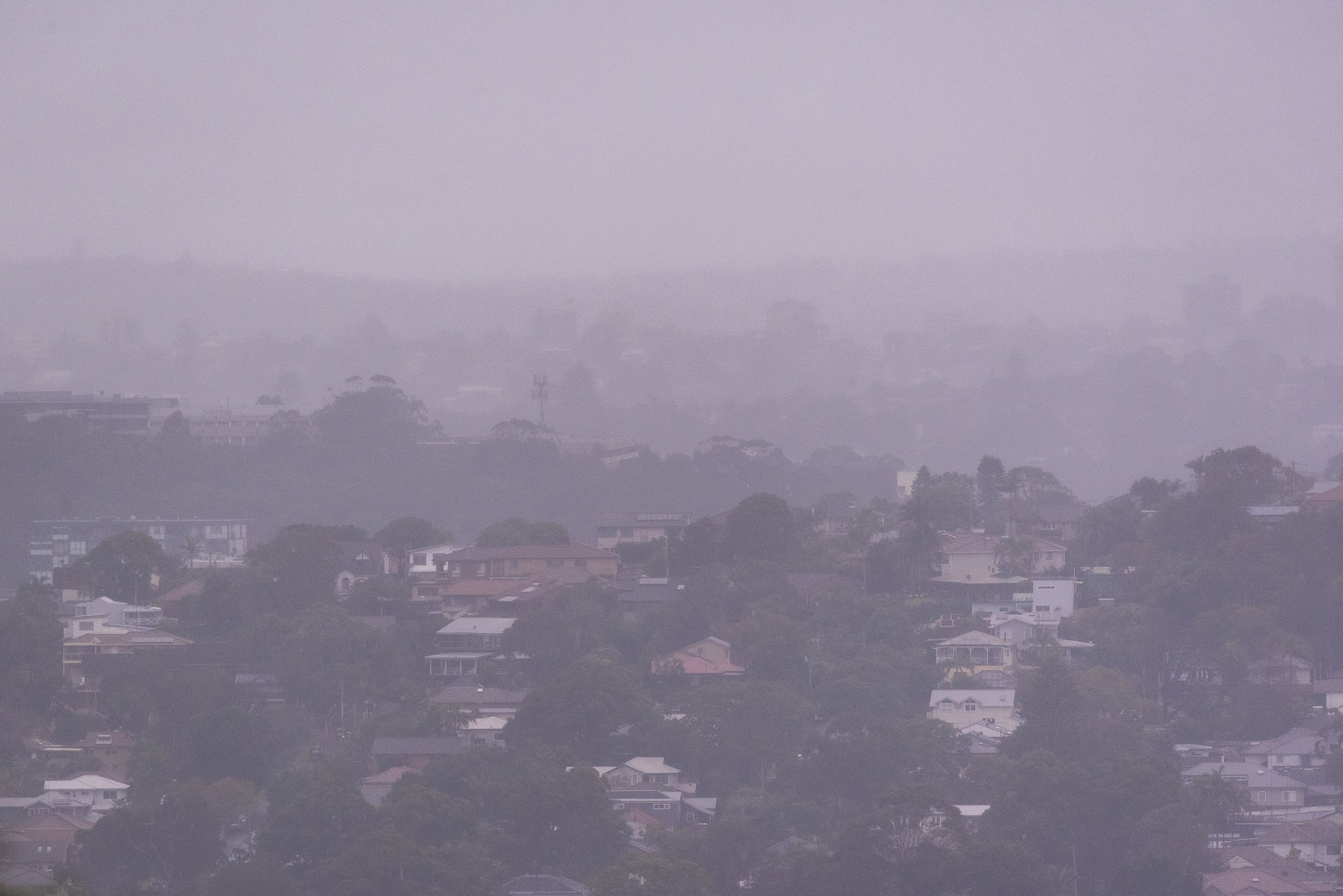
It was raining lightly but steadily as Sunday morning got started along the beaches. Wind was coming from the SSE at 8-10 kts as of 0830, but, as the Bureau says below, it should swing NE and pick up into the 15-20 kt range. Swell was 1.3 metres and out of the east at close to 8 seconds apart. Judging from the cams, it’s as the numbers would suggest – ie, gutless, junky and knee to maybe waist and a bit at the best exposures. You have to be very, very keen.
Tide was low at 0635 and will be back to the 1.5m high at 1250
The low looks like coming down along the coast from up north and as it approaches us the swell will build from the east to a peak intensity around noon tomorrow while the rain is pelting down and the wind swings from SE through to SW. It looks as though Tuesday could be the peak for the swell energy. The ECM model is showing an 0600 Tue prediction of 4 metres from the SSE with 3 metres from the east with a period of around 10 seconds and wind at 25 kts from the SSW. Wavewatch is more enthusiastic and says 6.6 m SSE with 1.3 m east. Either way, it looks like vulnerable coastal properties could be facing alterations to their seaward extents.
By Wednesday the swell should have dropped into – potentially – fun territory.
We shall see…
Stay safe and dry, mask up particularly when you go into enclosed public spaces, and maintain your distance.
Forecast for Sunday until midnight
Strong Wind Warning for Sunday for Sydney Coast
- Winds
- Northeasterly 15 to 20 knots tending easterly 15 to 25 knots in the late morning or early afternoon. Winds turning southeast to southwesterly 20 to 30 knots in the evening.
- Seas
- 1 to 1.5 metres, increasing to 1.5 to 2.5 metres around midday.
- Swell
- Northeasterly 1 to 2 metres, tending easterly 2 metres around midday, then tending east to northeasterly 2 to 4 metres by early evening.
- Weather
- Cloudy. Near 100% chance of rain. The chance of a thunderstorm.
Monday 27 July
Gale Warning for Monday for Sydney Coast
- Winds
- Southeast to southwesterly 20 to 30 knots tending south to southwesterly 25 to 40 knots in the evening.
- Seas
- 1.5 to 2.5 metres, increasing to 2 to 4 metres during the afternoon.
- 1st Swell
- Easterly 3 to 4 metres, decreasing to 2.5 to 3 metres around midday.
- 2nd Swell
- Southerly below 1 metres, increasing to 2 to 3 metres during the afternoon.
- Weather
- Cloudy. Near 100% chance of showers. The chance of a thunderstorm offshore in the early morning.
- Caution
- Large and powerful surf conditions are expected to be hazardous for coastal activities such as crossing bars by boat and rock fishing.


