Hello Friends,
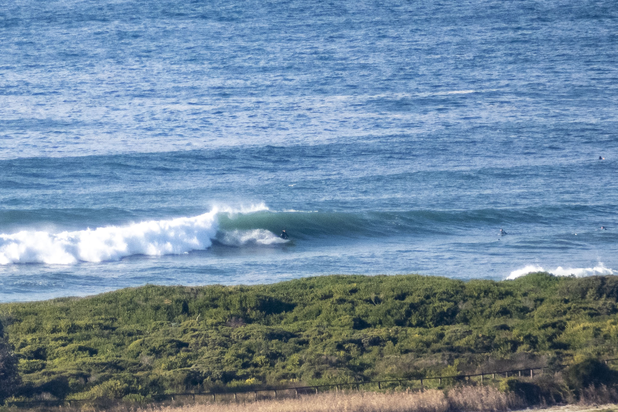
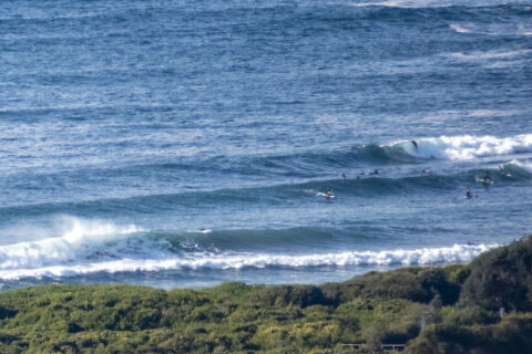
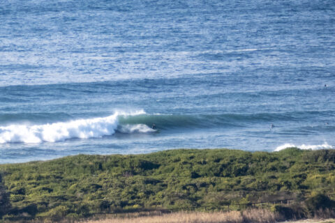
What a weekend for Sydney surfers. Again we have fun size waist to head high waves at Dee Why on a brilliant sunny morning. The focus seems to be more along the beach than at the point, but both were well attended when I checked a little before 0900. Wind was out of the WNW at 9-11 kts and out at sea, the buoy data showed 2.3 metres of 7-10 sec swell from the ESE (126°). Tide is coming into the high at noon, when it may have clouded over and be getting ready to rain. Wind should pick up and go south west soon as we head toward peaks speeds into the 25-30 kt range as the rain arrives. The swell’s due to ramp up as well, so timing will be all…
There’s a gale warning for tomorrow when were set to get lashing rain, howling SE wind and a peak in the swell energy. Not looking the best prospect for a surf, but perhaps by Tuesday afternoon, conditions will settle into something more approachable.
Go well, stay safe and mask up in enclosed public spaces.
Weather Situation
A trough lying near the southern or the central part of the coast, with a series of lows embedded within the trough making landfall, is bringing increased winds and waves to the southern half of the coast today. These conditions look set to extend to the northern parts of the coast on Monday as the trough and the lows move north along the coast.
Forecast for Sunday until midnight
Gale Warning for Sunday for Sydney Coast
Winds
West to southwesterly 15 to 25 knots tending northwest to southwesterly 20 to 30 knots in the middle of the day, increasing to 30 to 40 knots in the late afternoon, then turning northeast to southeasterly 15 to 25 knots in the evening.
Seas
1 to 1.5 metres, increasing to 2 to 3 metres around midday.
1st Swell
East to southeasterly 1.5 to 2 metres, tending southeasterly 2 to 3 metres during the afternoon.
2nd Swell
Southerly 1.5 metres, increasing to 1.5 to 2.5 metres during the morning.
Weather
Cloudy. 90% chance of rain. The chance of a thunderstorm from late this morning.
Caution
Large and powerful surf conditions are expected to be hazardous for coastal activities such as crossing bars by boat and rock fishing.
Monday 10 August
Gale Warning for Monday for Sydney Coast
Winds
Southeasterly 20 to 30 knots increasing to 25 to 35 knots before dawn, then becoming southerly 20 to 30 knots in the afternoon.
Seas
2 to 4 metres.
1st Swell
Southeasterly 3 to 4 metres.
2nd Swell
Easterly 1.5 to 2 metres.
Weather
Cloudy. 90% chance of showers. The chance of a thunderstorm.
Caution
Large and powerful surf conditions are expected to be hazardous for coastal activities such as crossing bars by boat and rock fishing.
Tuesday 11 August
Winds
South to southeasterly 15 to 25 knots easing to 10 to 15 knots in the morning and becoming variable below 10 knots in the afternoon.
Seas
1.5 to 2.5 metres, decreasing to around 1 metre during the morning.
Swell
Southeasterly 2 to 3 metres, decreasing to 1.5 to 2 metres during the afternoon or evening.
Weather
Partly cloudy


