
Hello Friends,
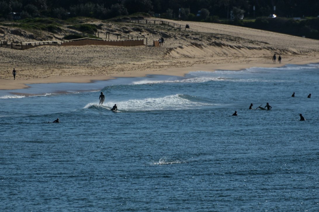
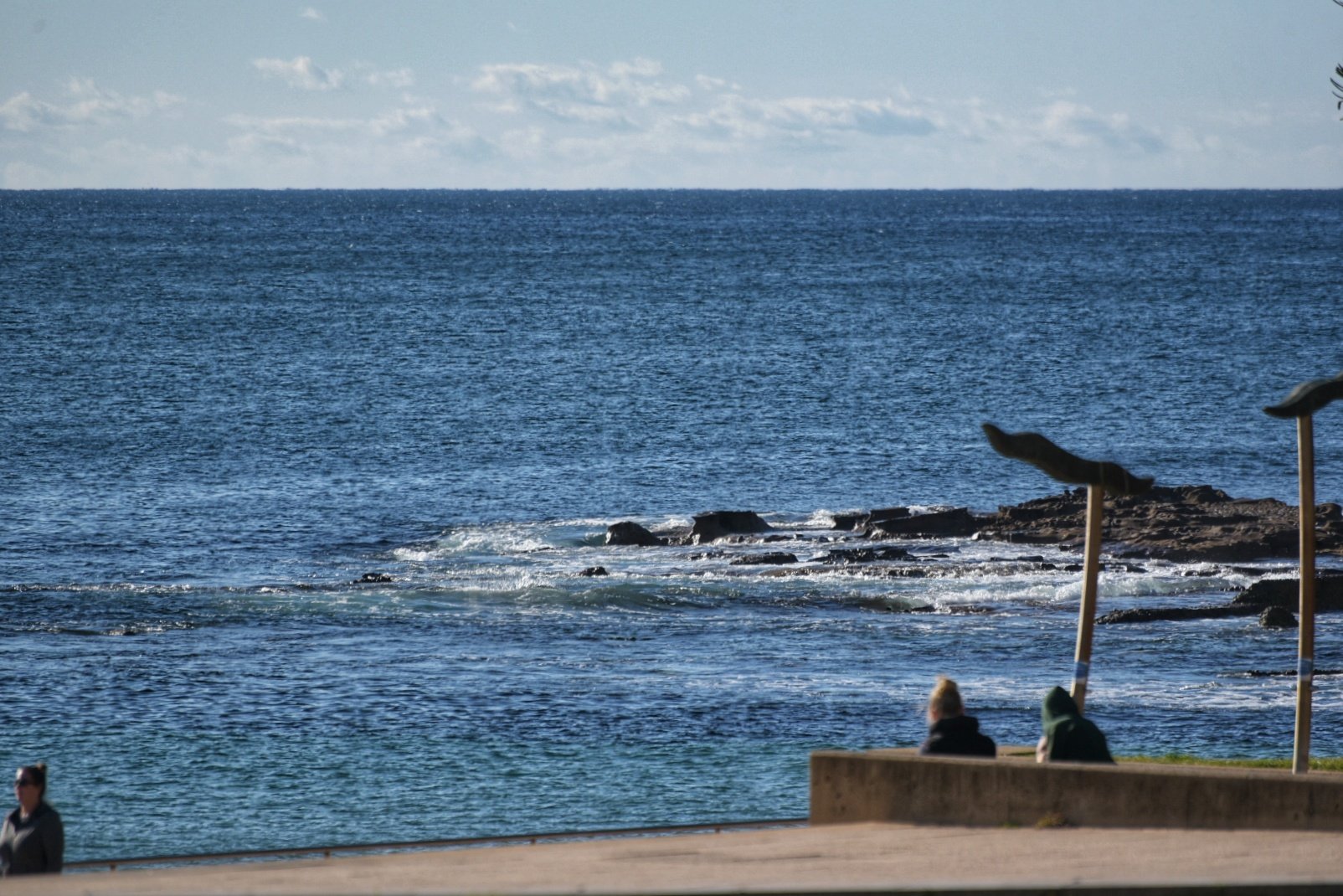
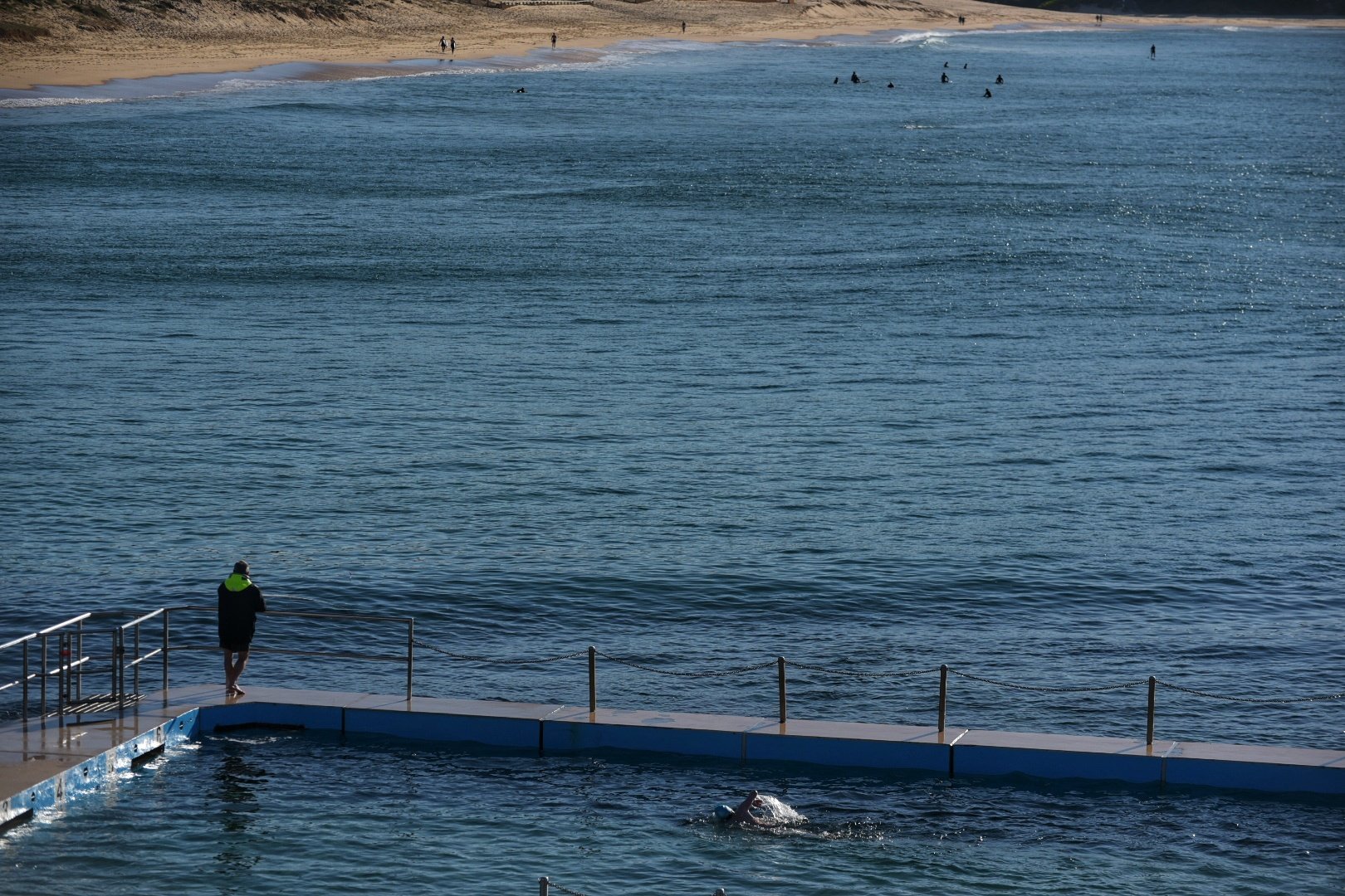
Sunny skies, light NNW winds, microscopic waves and a… gale warning. Yep, that’s right, the westerly should come up soon and it’ll be blowing 20-30 kts inshore. Out at sea, there was less than a metre of 5 second wind chop.
So, no prospect for a surf today in Sydney. And, unless the Goat’s spotted something I haven’t noticed, things don’t look hopeful for a wave until early next week…
Go well, and stay safe everyone!
Weather Situation
A series of cold fronts will cross southeast Australia during the next few days, associated with a complex low pressure system near Tasmania. These fronts will maintain vigorous westerly winds over coastal waters through to the weekend. Conditions should ease during Sunday as the last of the fronts passes, and high pressure ridge develops over New South Wales.
Forecast for Thursday until midnight
Gale Warning for Thursday for Sydney Coast
- Winds
- Westerly 20 to 30 knots, reaching up to 35 knots offshore in the morning.
- Seas
- 2.5 to 4 metres, decreasing to 2 to 3 metres during the morning.
- Swell
- Southerly around 1 metre inshore, increasing to 1 to 1.5 metres offshore by early evening.
- Weather
- Mostly sunny. The chance of a thunderstorm offshore.
Friday 21 August
Strong Wind Warning for Friday for Sydney Coast
- Winds
- Westerly 15 to 25 knots, reaching up to 30 knots offshore early in the morning and again in the late evening.
- Seas
- Around 1 metre, increasing to 1.5 to 2.5 metres offshore.
- Swell
- Southerly 1 to 1.5 metres, decreasing to around 1 metre around midday.
- Weather
- Partly cloudy.
Saturday 22 August
- Winds
- Westerly 15 to 25 knots, increasing to 20 to 30 knots in the early afternoon.
- Seas
- Around 1 metre, increasing to 2 to 3 metres offshore.
- Swell
- Southerly around 1 metre.
- Weather
- Partly cloudy. 50% chance of showers. The chance of a thunderstorm.
