Hello Friends,
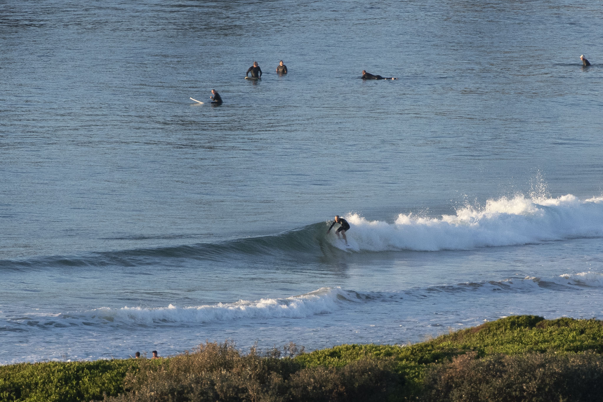
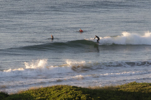
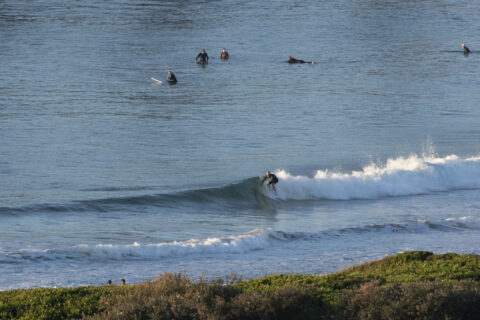
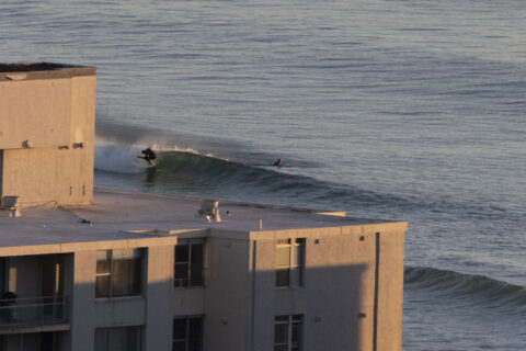
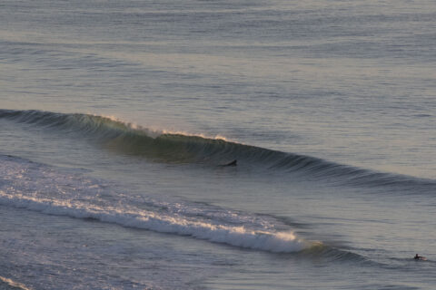
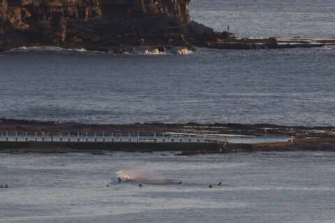
Another beautiful morning with clear skies, light offshores and tiny waves. Sets were in the thigh to waist plus range on the better spots making the most of the fading swell. The offshores should last through the morning hours. Tide hits low at 0820 and will be back to a 1.48 m high at 1500. We should see a high of 25 today. Water’s still on 18C and out at sea swell was 1.1 metres at 10-11 seconds from the east.
This morning’s swell modeling isn’t offering much in the way of encouragement for the coming week’s surf prospects. Basically it’s looking pretty tiny through the middle of the week – at least. But, with luck there should be mal-able options at east magnets.
Go well with your Saturday, and take the mask for when you go into crowded spaces. The virus is still around.
Weather Situation
A high pressure system over central Australia is extending a ridge into western New South Wales. This ridge is forecast to remain in the region for a number of days, although a low pressure trough looks set to briefly affect southern and central parts of the coast on Sunday.
Forecast for Saturday until midnight
- Winds
- West to southwesterly 15 to 20 knots shifting east to northeasterly 10 to 15 knots in the late afternoon then tending north to northeasterly in the late evening.
- Seas
- 1 to 2 metres.
- Swell
- Southerly around 1 metre.
- Weather
- Sunny.
Sunday 11 October
- Winds
- North to northwesterly 10 to 15 knots becoming east to northeasterly in the afternoon.
- Seas
- Around 1 metre.
- Swell
- Southerly around 1 metre.
- Weather
- Sunny.
Monday 12 October
- Winds
- Northeasterly 15 to 20 knots.
- Seas
- 1 to 1.5 metres.
- Swell
- Easterly below 1 metre.
- Weather
- Partly cloudy.

