Hello Friends,
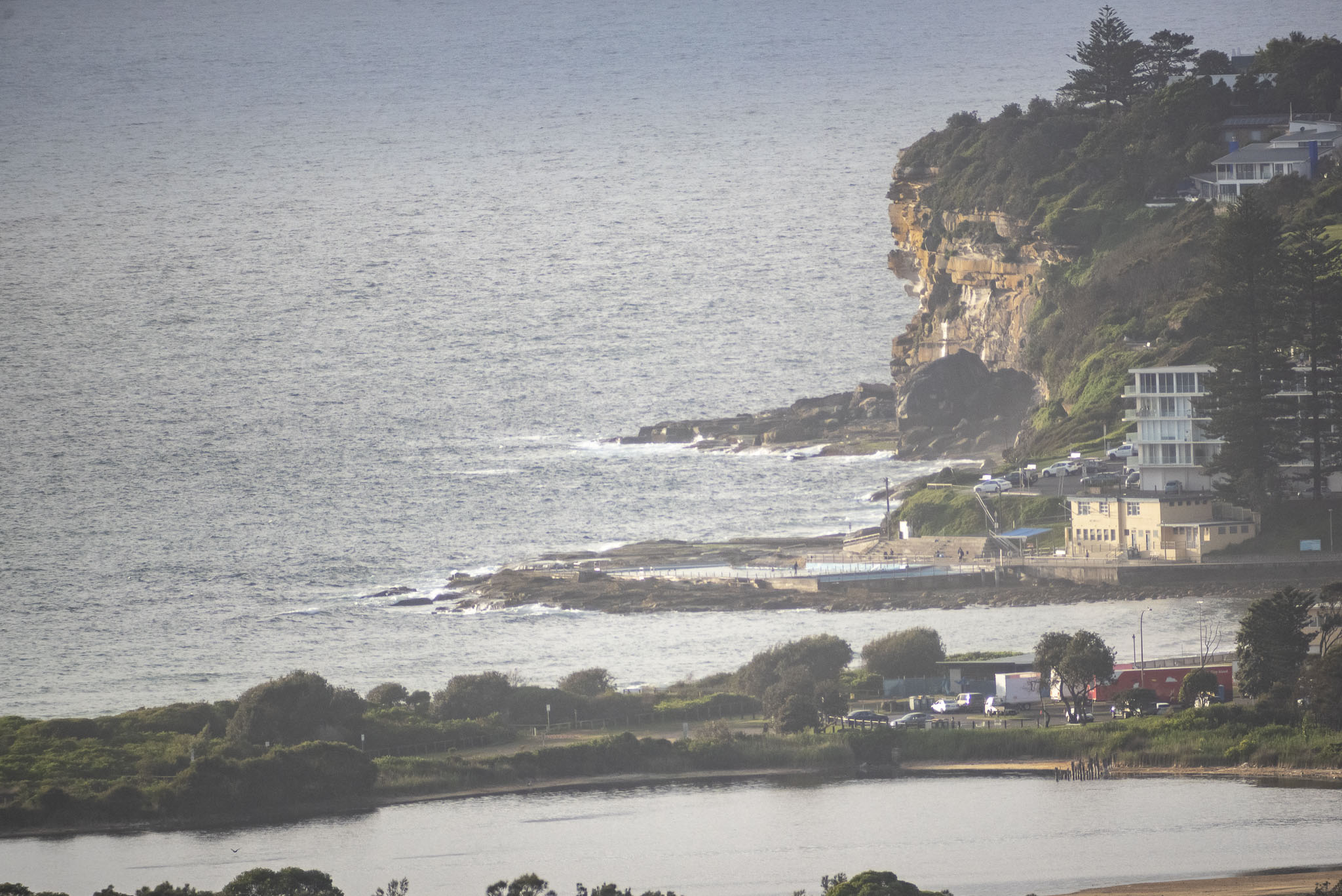
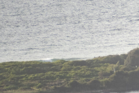
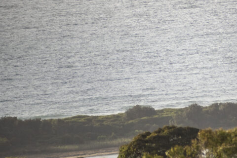
A partly cloudy start to the day for Sydney. Wind was coming from the ENE at 5-7 kts and out at sea the bump was 1.3 metres from the south at 8 seconds apart. So, no real improvement from yesterday. Tide was low at 0450 and will be back to a swampy 1.94 metre high at 1120. Speaking of highs, it’s set to go to 23C and the wind should pick up along the coast as gets to 15-20 kts from the NE.
Yeah, not a surfing day at Dee Why, so switch to your second choice exercise option, or if you’re desperate, maybe wander around to Curly for some barely surfable chop.
From the look of the models, tomorrow is probably not going to be much of an improvement. There does seem to be some hope for some NE windswell Thursday-Friday.
Have a great Wednesday!

Weather Situation
A high pressure system moving over the Tasman Sea during Wednesday extends a ridge along the coast. Coastal winds will gradually turn northerly again as the high moves further east during the latter part of the week, before the next trough and southerly change reaches the southern half of the coast during Friday.
Forecast for Wednesday until midnight
Winds
Easterly about 10 knots becoming northeasterly 15 to 20 knots during the morning.
Seas
Around 1 metre.
Swell
Southerly 1 to 1.5 metres, decreasing to around 1 metre during the afternoon.
Weather
Mostly sunny.
Thursday 19 November
Winds
Northeasterly 15 to 20 knots increasing to 20 to 25 knots in the evening.
Seas
1 to 1.5 metres, increasing to 1.5 to 2 metres during the afternoon.
Swell
Southerly around 1 metre.
Weather
Mostly sunny.
Friday 20 November
Winds
Northeasterly 20 to 25 knots turning northerly during the morning.
Seas
1.5 to 2.5 metres.
Swell
Southerly below 1 metre.
Weather
Mostly sunny morning. The chance of a thunderstorm in the afternoon and evening.

