
Hello Friends,
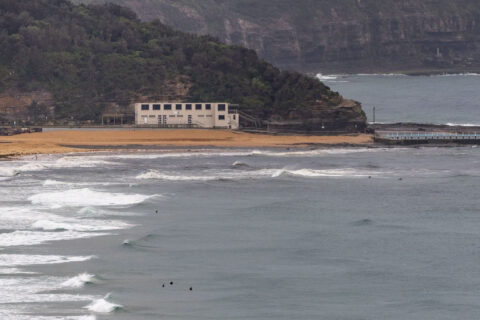
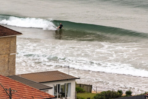
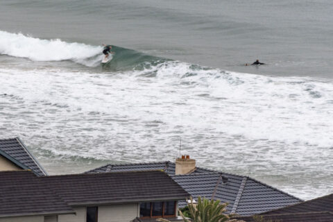
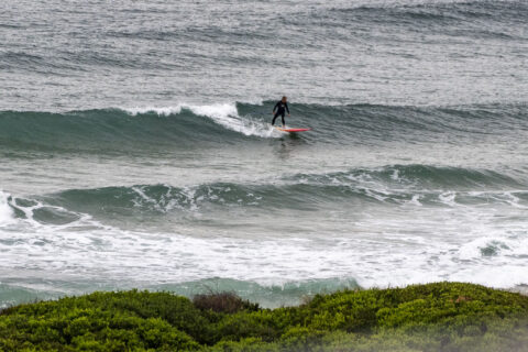
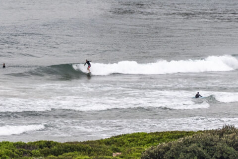
Glassy start to Saturday morning along the beaches. Skies were overcast and swell at sea was out of the NE at 7 seconds with an average height of a metre. As the pictures show, waves were in the knee to waist high range. Wind should come up from the SE later this morning and there’s a 70% chance of showers. First tide of the daylight hours is a swampy 1.8m high at 1115.
Outlook is for conditions to be similar tomorrow morning, although the wind may get into it earlier.
Have a good one and mask up!
Weather Situation
A high pressure system over the southern Tasman Sea is moving east whilst a trough of low pressure along the northern coast is weakening, maintaining easterly winds across the state. Another trough of low pressure, currently over the western New South Wales, is forecast to move east from Sunday and deepens to a low pressure system off the far southern coast by Monday, bringing a southerly wind change across the coastal waters early new week.
Forecast for Saturday until midnight
Winds
Southeasterly 10 to 15 knots tending easterly in the evening.
Seas
Around 1 metre.
Swell
East to northeasterly 1 to 1.5 metres.
Weather
Cloudy. 70% chance of showers.
Sunday 3 January
Winds
Easterly 15 to 20 knots turning northeasterly in the morning.
Seas
Around 1 metre, increasing to 1 to 1.5 metres during the morning.
Swell
Easterly 1 to 1.5 metres.
Weather
Cloudy. 70% chance of showers. The chance of a thunderstorm.
Monday 4 January
Winds
Northerly 15 to 20 knots shifting south to southwesterly during the evening.
Seas
Around 1 metre, increasing to 1 to 1.5 metres offshore.
Swell
Northeasterly 1 to 1.5 metres inshore, increasing to 1 to 2 metres offshore.
Weather
Partly cloudy. 70% chance of showers. The chance of a thunderstorm.

