Hello Friends,
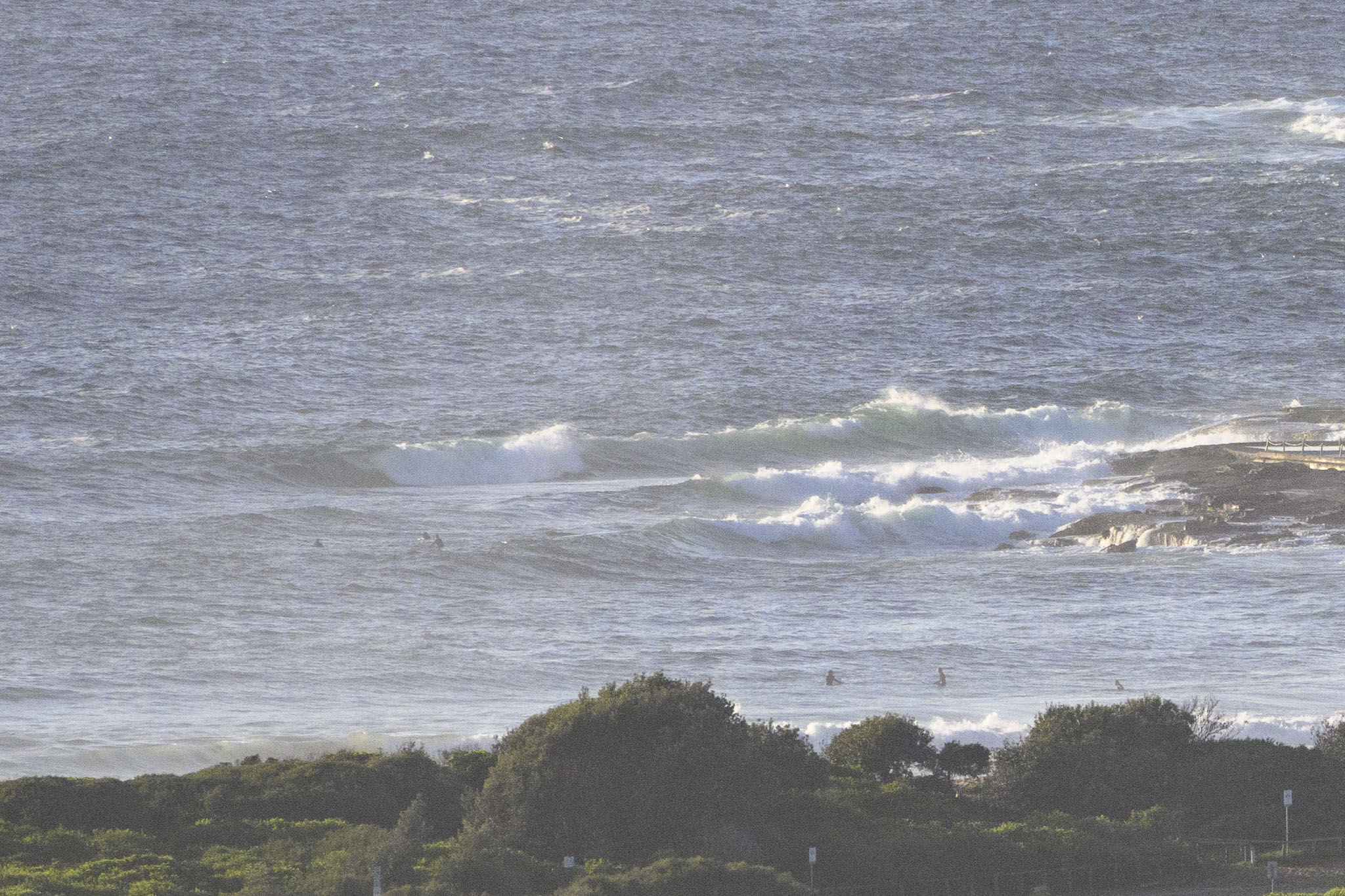
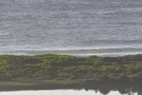
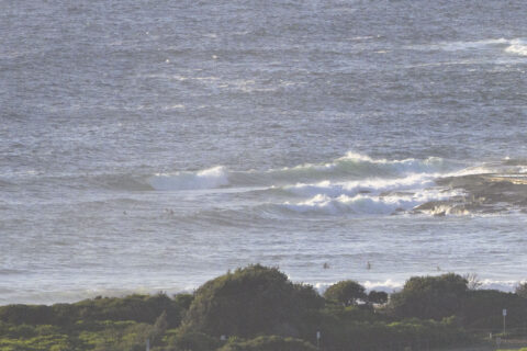
A sunny, warm day with 1.3 metres of 7 to 8 second east wind swell wafting into the beaches. Some of the sets looked to be into the shoulder high range, but there’s not much in between. Tide is low at 0925 and will be back to a moderate 1.3 metre high at 1520. Water’s on 23C.
Wondering about the weekend surf prospects – and beyond? Then you’re in luck, because the mighty Goat has rolled blessed us with his deep surf wisdom.
Go well with your Friday one and all, and pack that mask!
Weather Situation
A high pressure system over the southern Tasman Sea extends a ridge up the New South Wales coast and is the dominant feature in the region. This brings a return to northerly winds in most coastal areas over the next day or two, before another trough and southerly change on Sunday.
Forecast for Friday until midnight
Winds
Northeasterly 15 to 25 knots.
Seas
1.5 to 2 metres.
Swell
Northeasterly 1.5 metres inshore, increasing to 1.5 to 2 metres offshore.
Weather
Mostly sunny.
Saturday 6 February
Strong Wind Warning for Saturday for Sydney Coast
Winds
Northeasterly 20 to 25 knots, reaching up to 30 knots during the morning and early afternoon. Winds turning northerly in the afternoon.
Seas
2 to 3 metres, decreasing to 1.5 to 2 metres during the afternoon.
Swell
Northeasterly 1.5 metres.
Weather
Partly cloudy. 70% chance of showers in the afternoon and evening. The chance of a thunderstorm in the afternoon and evening.
Sunday 7 February
Winds
North to northwesterly 15 to 20 knots shifting south to southeasterly 15 to 25 knots during the day.
Seas
1 to 1.5 metres, increasing to 1 to 2 metres offshore.
Swell
Northeasterly 1.5 to 2 metres, tending easterly 2 metres during the afternoon or evening.
Weather
Partly cloudy.

