Hello Friends,
Back to grey skies and southerlies. Wind was pushing along at 11-17 kts by 0730. Out at sea the swell jumped up significantly since yesterday afternoon and it was 2.7 metres at 8 seconds from 167°. The forecast tells us to expect it to fade across the morning. Water is 23C and today high should be around 25C along the beaches.
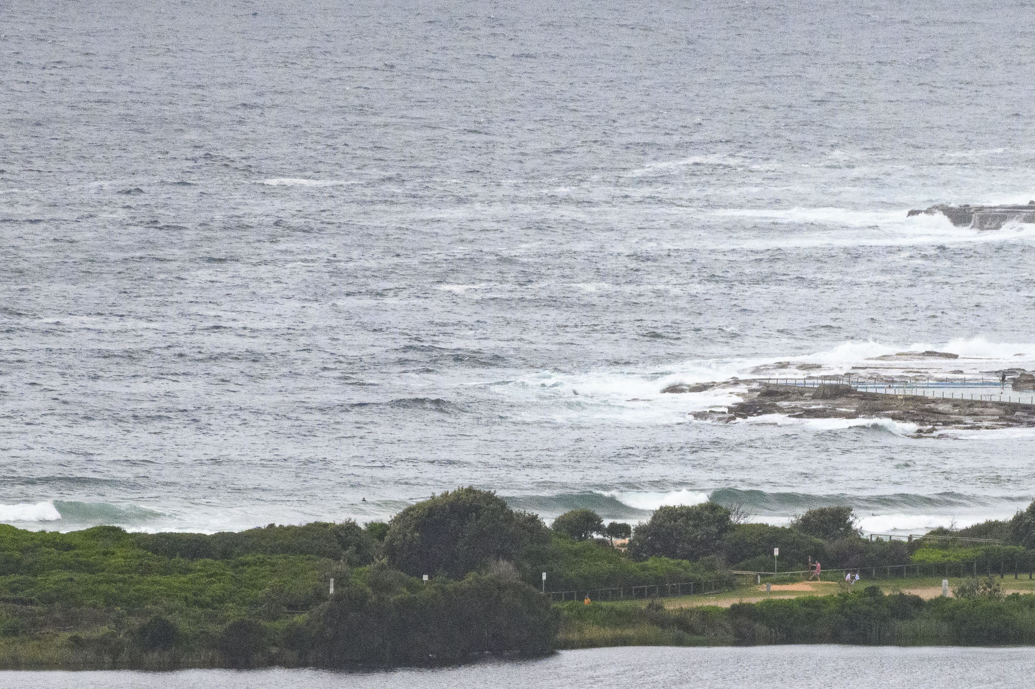
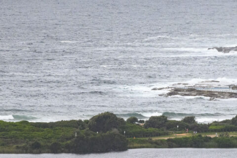
As the picture shows, Dee Why was not looking terribly appetizing thanks to the junky southerly conditions.
I’m not liking the look of prospects for the next couple of days either. In fact it doesn’t look too red hot for the rest of the week. We may see a little improvement Thursday and at least one read of the models says it could be fun on Friday morning.
Have a top old Monday everyone, and pack your mask!
Weather Situation
A high pressure system south of the Bight extends a ridge along the NSW coast bringing south to southeasterly winds to NSW coastal waters. The high will gradually move south of Tasmania to reach the Tasman Sea on Wednesday with winds tending east to northeasterly along the southern coast. Winds tending east to northeasterly along the remaining coast Thursday and Friday, as the high moves east over the Tasman Sea.
Forecast for Monday until midnight
Winds
Southerly 15 to 20 knots.
Seas
1.5 to 2 metres.
1st Swell
Southerly 1.5 to 2 metres, decreasing to 1 to 1.5 metres during the morning.
2nd Swell
Easterly 1.5 metres, decreasing to around 1 metre around midday.
Weather
Partly cloudy.
Tuesday 9 February
Winds
Southerly 15 to 20 knots turning southeasterly during the morning and early afternoon.
Seas
1 to 1.5 metres.
1st Swell
Southerly 1 to 1.5 metres.
2nd Swell
Easterly around 1 metre.
Weather
Partly cloudy.
Wednesday 10 February
Winds
Southeasterly 10 to 15 knots.
Seas
Around 1 metre.
Swell
Southerly 1 to 2 metres.
Weather
Partly cloudy.

