Hello Friends,
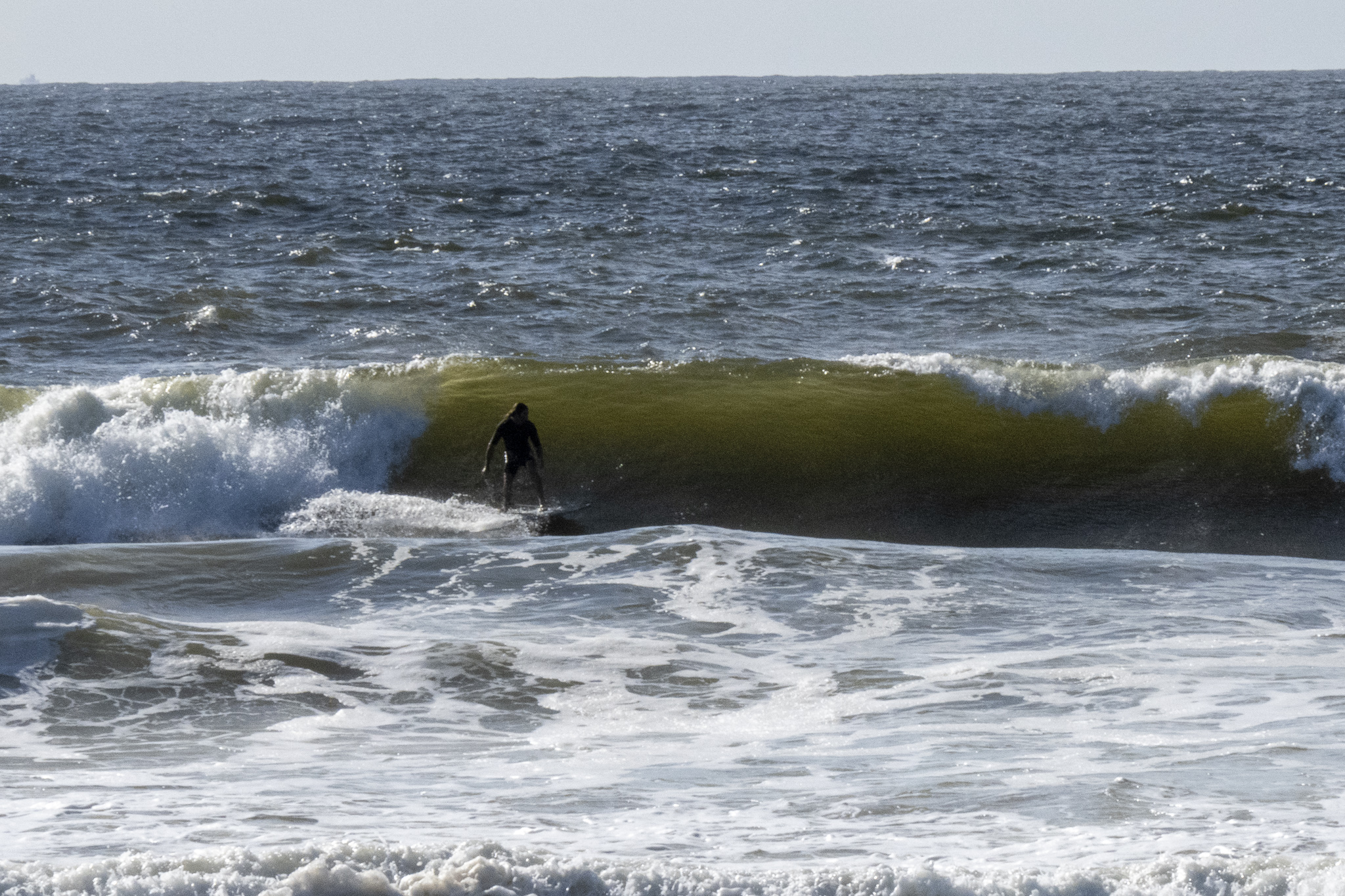
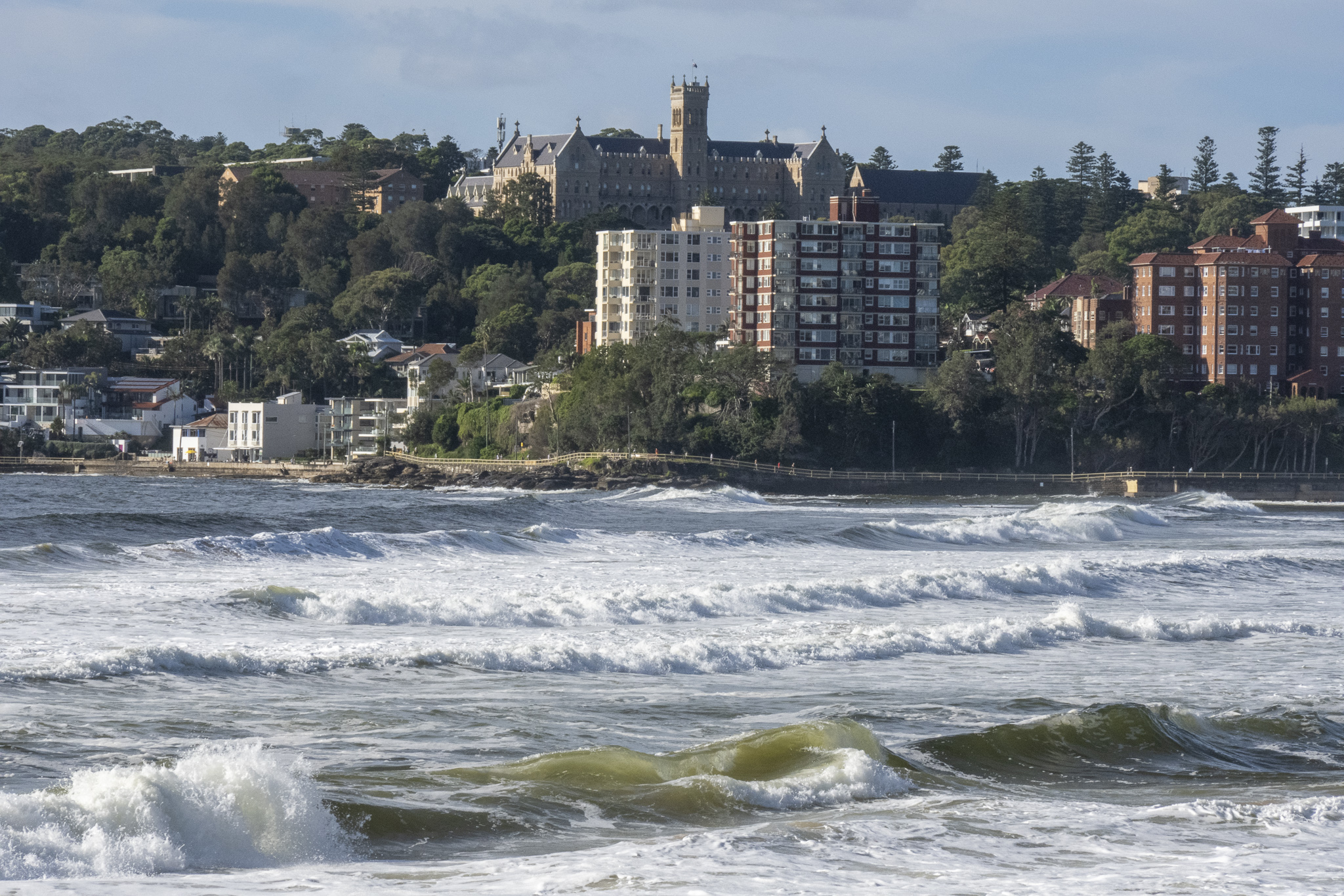
Wind turned SE-ESE yesterday evening and this morning was 7-11 kts as of 0730. As a consequence, the ocean was looking choppy, lumpy and disorganised as high tide arrived at 0720. Swell was 1.75m at 9 seconds from the ESE at sea. It looked bad everywhere but there were a few stalwarts chasing lumps in possibly polluted water at Manly and Dee Why. Pretty low quality stuff to risk your health for.
It looks as though the onshores are with us through Thursday, but you could get lucky for the early sessions before the wind kicks in…
Go well everyone!


Weather Situation
A ridge of high pressure extends along the New South Wales coast. This will be the dominant feature until Friday when a cold front and trough move over southern waters.
Forecast for Tuesday until midnight
- Winds
- Easterly 10 to 15 knots tending southeasterly 15 to 20 knots before dawn.
- Seas
- Around 1 metre, increasing to 1 to 1.5 metres offshore during the morning.
- Swell
- Easterly 1.5 metres.
- Weather
- Partly cloudy. 50% chance of showers.
Wednesday 16 March
- Winds
- Southeasterly 15 to 20 knots.
- Seas
- Around 1 metre.
- Swell
- Easterly 1.5 to 2.5 metres.
- Weather
- Partly cloudy. 70% chance of showers.
Thursday 17 March
- Winds
- East to southeasterly about 10 knots.
- Seas
- Below 1 metre.
- Swell
- Easterly 2.5 metres, tending southeasterly 2 metres during the morning.
- Weather
- Partly cloudy. 50% chance of showers.


