
Hello Friends,
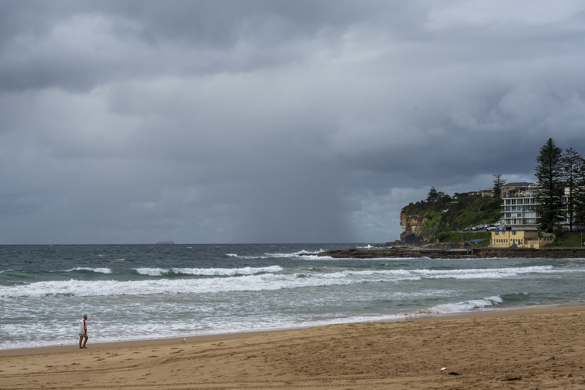
You had to be very, very keen to hit it this morning at Dee Why. As the pictures show, there were waves of a sort, but between the showers and relentless onshore wind, it didn’t look like an all-time experience.
It seems we’re in for another three days of SE wind and showery weather too.
Never mind. By midweek we could be back to SW wind and SE swell. If the more hopeful models have it right, next weekend could be something special…
A fabulous result for both Warringah and Mackellar IMHO. It feels like a pretty seismic shift – in a very good way. Hooray for democracy!

Weather Situation
A high pressure system near Tasmania is generating south to southeasterly winds along the New South Wales coast. This system is expected to gradually move east, reaching the Tasman Sea on Wednesday with winds to tending east to northeasterly.
Forecast for Sunday until midnight
- Winds
- Southeasterly 10 to 15 knots decreasing to about 10 knots in the late evening.
- Seas
- Below 1 metre.
- Swell
- Southerly 1.5 metres.
- Weather
- Cloudy. 90% chance of showers. The chance of a thunderstorm.
Monday 23 May
- Winds
- Southeasterly 10 to 15 knots.
- Seas
- Below 1 metre.
- Swell
- Southerly 1 to 1.5 metres inshore, increasing to 1 to 2 metres offshore.
- Weather
- Cloudy. 95% chance of showers. The chance of a thunderstorm.
- Caution
- Surf conditions may be more powerful than they appear and are expected to be hazardous for coastal activities such as crossing bars by boat and rock fishing.
Tuesday 24 May
- Winds
- Southeasterly 10 to 15 knots.
- Seas
- Below 1 metre.
- Swell
- Southerly 1.5 metres inshore, increasing to 1.5 to 2 metres offshore.
- Weather
- Cloudy. 95% chance of showers. The chance of a thunderstorm.


