Hello Friends,
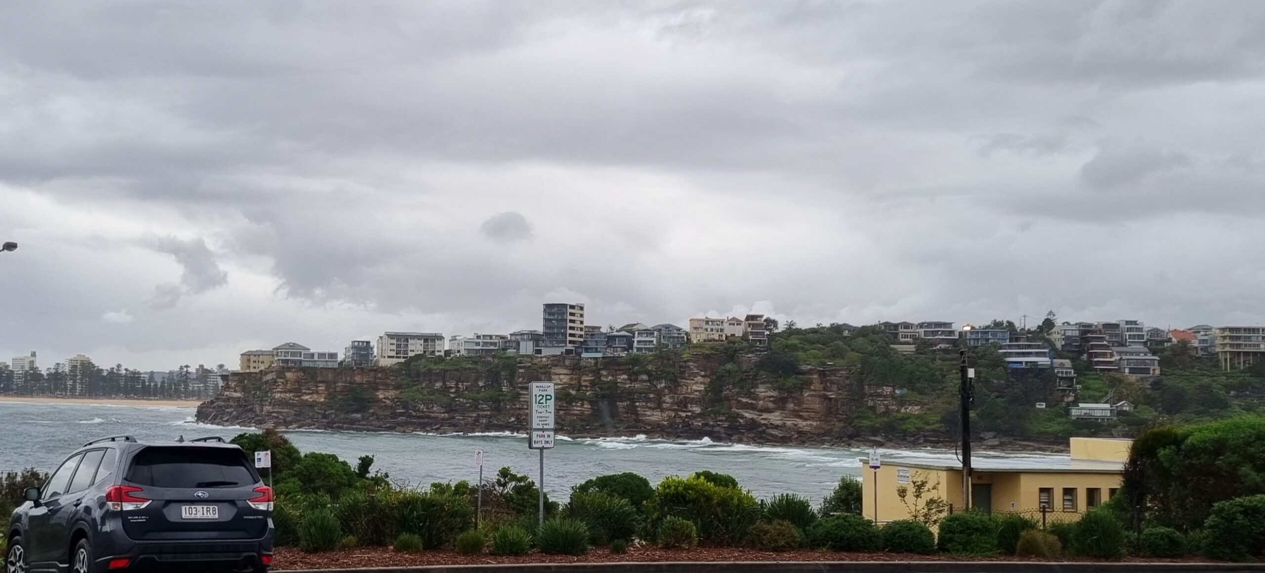
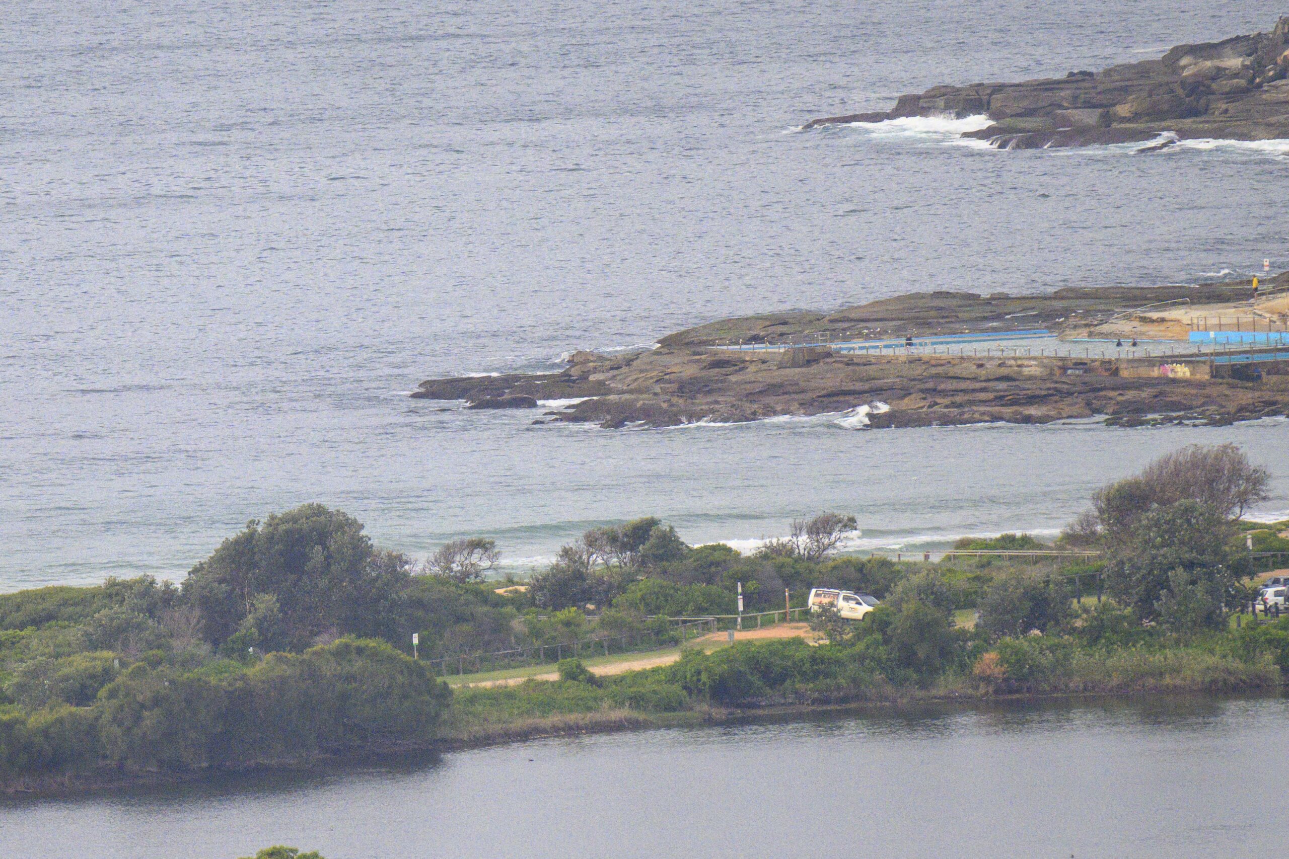
Bitterly cold this morning and raining too. Wind stayed SW, so there were reasonably clean surface conditions at Manly late this morning when I checked. Dee Why was lumpier and stormy looking but as the pic above shows, there were occasional waves to be had at the point. Swell at sea is 3.5 metres from the SSE at 10 seconds apart. The Goat should be along soon with thoughts about the surf prospects to come…


(above) Manly, North Steyne to Queenscliff stretch

Weather Situation
A high pressure system moving over SA is directing fresh to strong southerly winds along the New South Wales coast, while a trough just offshore generates showers. The high will drift across eastern Australia during Thursday and Friday, promoting lighter winds towards the end of the week, although surf conditions are likely to be hazardous in some coastal areas. A cold front is forecast to arrive during the weekend, accompanied by vigorous west to northwesterly winds. Following this, a new high pressure system looks set to become dominant from Monday, although unsettled conditions may return mid-week as another low pressure trough develops in the region.
Forecast for Thursday until midnight
Gale Warning for Thursday for Sydney Coast
- Winds
- Southerly 20 to 30 knots, reaching up to 35 knots during the morning and early afternoon.
- Seas
- 2.5 to 3 metres.
- 1st Swell
- Southerly 2 to 2.5 metres.
- 2nd Swell
- Southeasterly around 1 metre.
- Weather
- Cloudy. 95% chance of showers. The chance of a thunderstorm offshore during the morning and afternoon.
- Caution
- Large and powerful surf conditions are expected to be hazardous for coastal activities such as crossing bars by boat and rock fishing.
Friday 15 July
Strong Wind Warning for Friday for Sydney Coast
- Winds
- South to southwesterly 15 to 25 knots, reaching up to 30 knots early in the morning. Winds turning west to northwesterly below 10 knots in the evening.
- Seas
- 2 to 2.5 metres, decreasing to 1 to 1.5 metres during the morning, then decreasing below 1 metre by early evening.
- 1st Swell
- Southerly 2 to 3 metres, decreasing to 1 to 2 metres around midday, then decreasing to around 1 metre by early evening.
- 2nd Swell
- Southeasterly below 1 metre, tending southerly 1 to 1.5 metres during the morning, then tending southeasterly 1 to 1.5 metres around midday.
- Weather
- Mostly sunny.
- Caution
- Large and powerful surf conditions in the morning are expected to be hazardous for coastal activities such as crossing bars by boat and rock fishing.
Saturday 16 July
- Winds
- Northwesterly 15 to 25 knots increasing to 20 to 30 knots during the evening.
- Seas
- Around 1 metre, increasing to 1 to 2 metres offshore during the afternoon or evening.
- Swell
- Southeasterly 1 to 1.5 metres, decreasing to around 1 metre during the morning.
- Weather
- Partly cloudy.


