
Hello Friends,
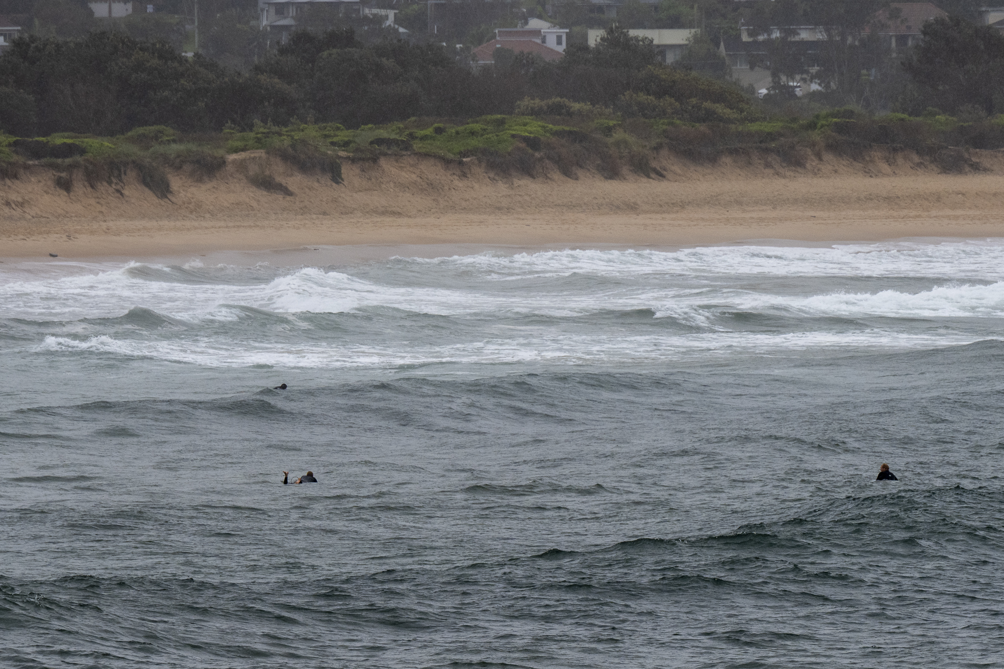
Another non-descript, grey, drizzly morning with 10-15 kts of NE wind (that blew all night). The rainy weather is set to continue all day and the wind will stay NE but pick up into the 20-30 kt range. Swell at sea was 2.6 metres at 13 seconds from the SSE and around 6-8 seconds from the NE. Surprisingly, given the endless showers, Beachwatch rates the water as clean and 19C at most places.
Prospects are not amazing for the weekend according to the Goat but right now Tuesday is looking pretty reasonable on the forecast models – sunny and solid ENE energy with WNW wind…
Go well with your Friday everyone
Weather Situation
A high pressure system over the Tasman Sea and a low pressure system over northwestern New South Wales are combining to generate fresh north to northeasterly winds along the coast. A trough associated with the low is forecast to bring a brief southerly change to southern waters late on Saturday or Sunday.
Forecast for Friday until midnight
Strong Wind Warning for Friday for Sydney Coast
- Winds
- Northeasterly 20 to 30 knots.
- Seas
- 2 to 3 metres.
- 1st Swell
- Northeasterly around 1 metre inshore, increasing to 1.5 metres offshore during the afternoon.
- 2nd Swell
- Southerly around 1 metre.
- Weather
- Cloudy. 95% chance of showers. The chance of a thunderstorm.
Saturday 22 October
Strong Wind Warning for Saturday for Sydney Coast
- Winds
- Northeasterly 25 to 30 knots turning northerly 20 to 30 knots in the evening.
- Seas
- 2 to 3 metres.
- Swell
- Northeasterly 1 to 1.5 metres inshore, increasing to 1.5 to 2 metres offshore.
- Weather
- Partly cloudy. 90% chance of showers. The chance of a thunderstorm.
Sunday 23 October
- Winds
- Northerly 20 to 30 knots turning northeasterly 15 to 25 knots during the day.
- Seas
- 1 to 2 metres, increasing to 2 to 3 metres offshore.
- Swell
- Northeasterly around 1 metre inshore, increasing to 1 to 1.5 metres offshore.
- Weather
- Partly cloudy. 90% chance of showers. The chance of a thunderstorm.


