
Hello Friends,
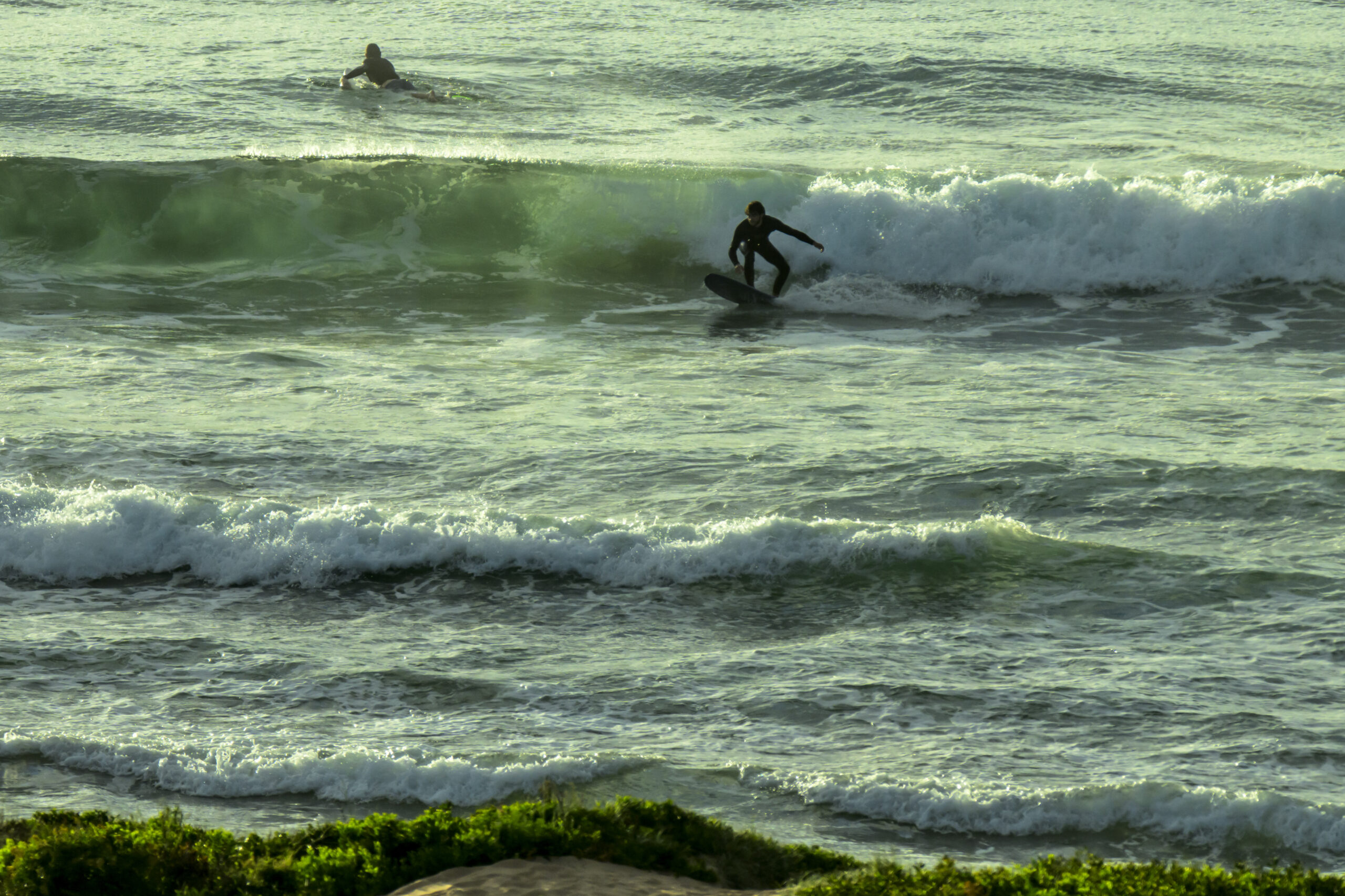
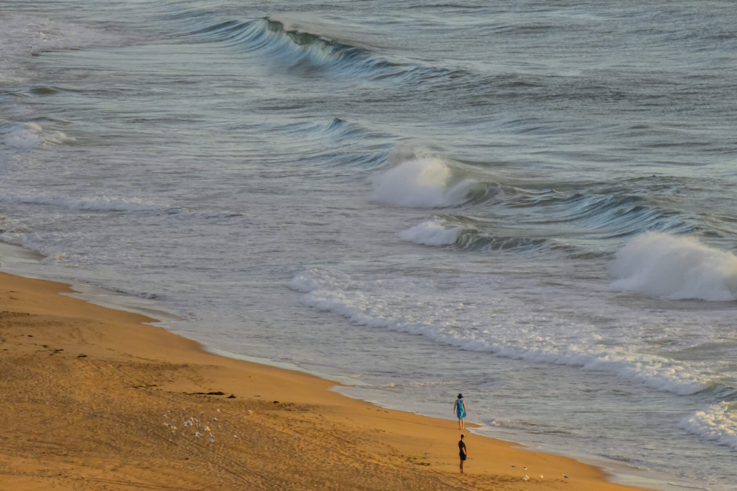
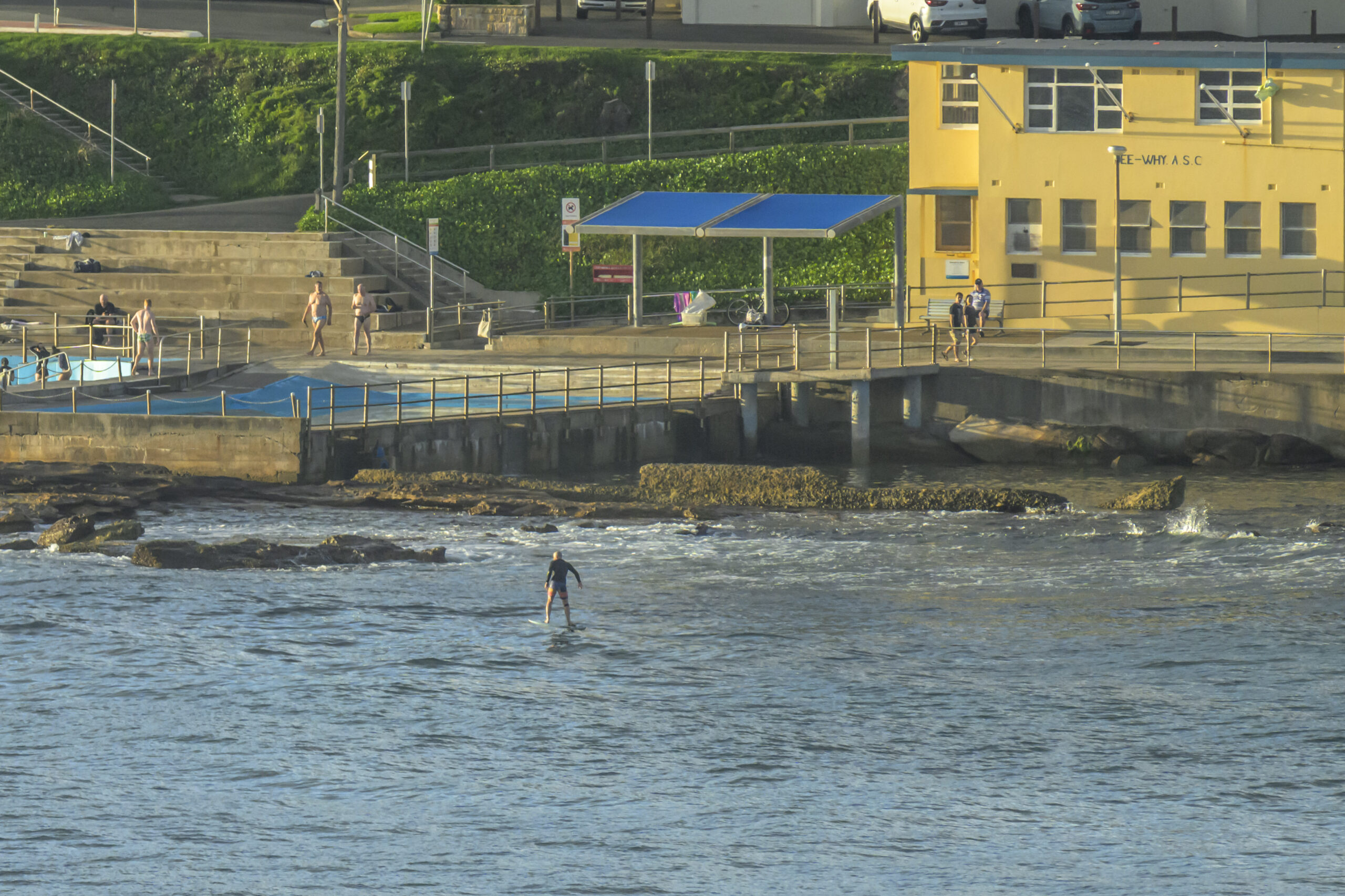
There were a few little knee to waist-high wind waves around the place this morning. The rides tended to be pretty short though. Still, the skies were more sunny than not and the wind was out of the WNW at less than 5kts. Swell was 1.3 metres at 8 seconds from the SE, so the north ends are getting the best of it. Wind was light early but should pick up into the 10-15 kt range from the SE later. Might be worth a look in the afternoon at semi-exposed south ends because the Bureau’s saying we could see a little pulse from the SE.
Beyond that, tomorrow’s looking pretty similar to today for the early and then maybe mid-week could see a little uptick as the dominant swell goes more E-NE…
Go well!


Weather Situation
A ridge of high pressure extends along the coast from a high over the Bight, maintaining southeasterly winds. Winds will turn east to northeasterly and freshen during the weekend and early new week as the high moves east to the Tasman Sea while a trough moves through the inland.
Forecast for Saturday until midnight
- Winds
- East to southeasterly 10 to 15 knots tending east to northeasterly in the late afternoon.
- Seas
- Below 1 metre.
- 1st Swell
- Southeasterly 1 to 1.5 metres, tending southerly below 1 metre during the morning, then tending southeasterly 1 to 1.5 metres around midday.
- 2nd Swell
- Southeasterly 1 to 1.5 metres, decreasing to around 1 metre around midday.
- Weather
- Partly cloudy.
Sunday 7 January
Strong Wind Warning for Sunday for Sydney Coast
- Winds
- Northeasterly 15 to 20 knots increasing to 20 to 25 knots in the late afternoon. Winds reaching up to 30 knots offshore in the evening.
- Seas
- Around 1 metre, increasing to 1.5 to 2 metres during the afternoon.
- Swell
- Southerly below 1 metre.
- Weather
- Mostly sunny.
Monday 8 January
- Winds
- Northeasterly 20 to 30 knots.
- Seas
- 1.5 to 2.5 metres.
- Swell
- Northeasterly around 1 metre.
- Weather
- Partly cloudy.


