Hello Friends,
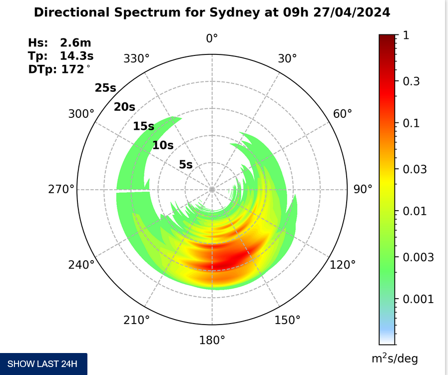
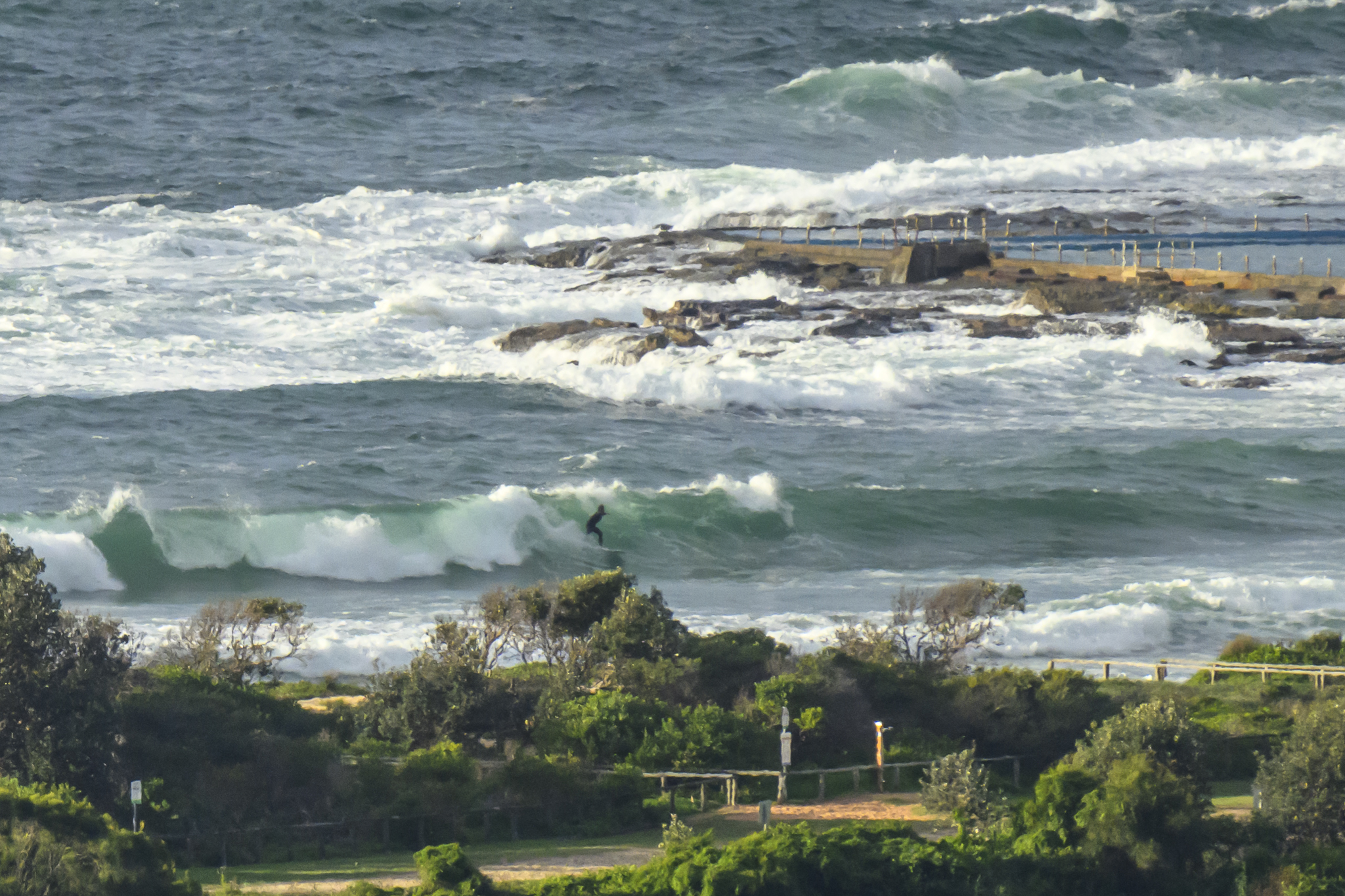
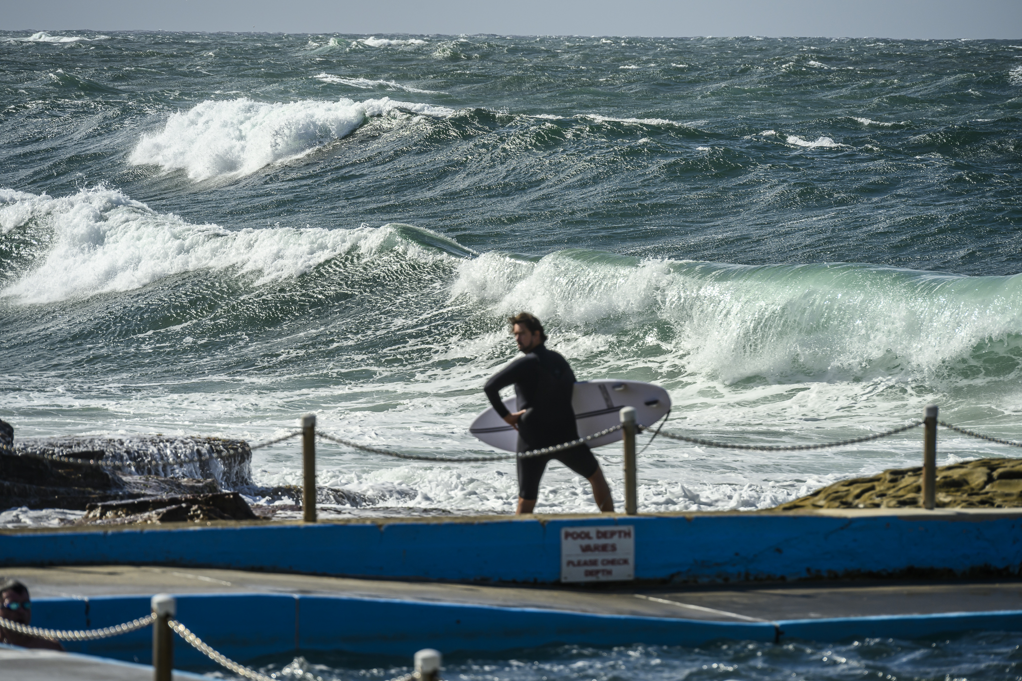
Looks like there are waves for you this morning and the wind’s still okay as of 1100. Image is shared from MHL.
Here’s what the Bureau says about the next three days.
Go well, stay safe!
Weather Situation
A strong high over the Bight extends a ridge over southeast Australia. It is expected to move east and become established over the Tasman Sea on the weekend, with a ridge extending to the north coast of New South Wales. The next cold front is expected to move through the south of the state during Monday and the remainder on Tuesday with another strong high developing over the Southern Ocean.
Forecast for Saturday until midnight
- Winds
- Southeasterly 10 to 15 knots becoming variable below 10 knots in the late afternoon.
- Seas
- Below 1 metre.
- Swell
- Southerly 2 to 2.5 metres.
- Weather
- Partly cloudy. 60% chance of showers. The chance of a thunderstorm offshore.
Sunday 28 April
- Winds
- Northerly 10 to 15 knots. Winds reaching up to 20 knots offshore in the evening.
- Seas
- Around 1 metre.
- Swell
- Southerly 1.5 to 2 metres, decreasing to 1 to 1.5 metres during the morning.
- Weather
- Partly cloudy. 60% chance of showers offshore, near zero chance elsewhere.
Monday 29 April
- Winds
- North to northwesterly 15 to 20 knots becoming variable below 10 knots during the afternoon then becoming north to northwesterly 10 to 15 knots during the evening.
- Seas
- 1 to 1.5 metres, decreasing to 1 metre during the afternoon.
- Swell
- Southerly around 1 metre.
- Weather
- Mostly sunny. The chance of a thunderstorm.


