Hello Friends,
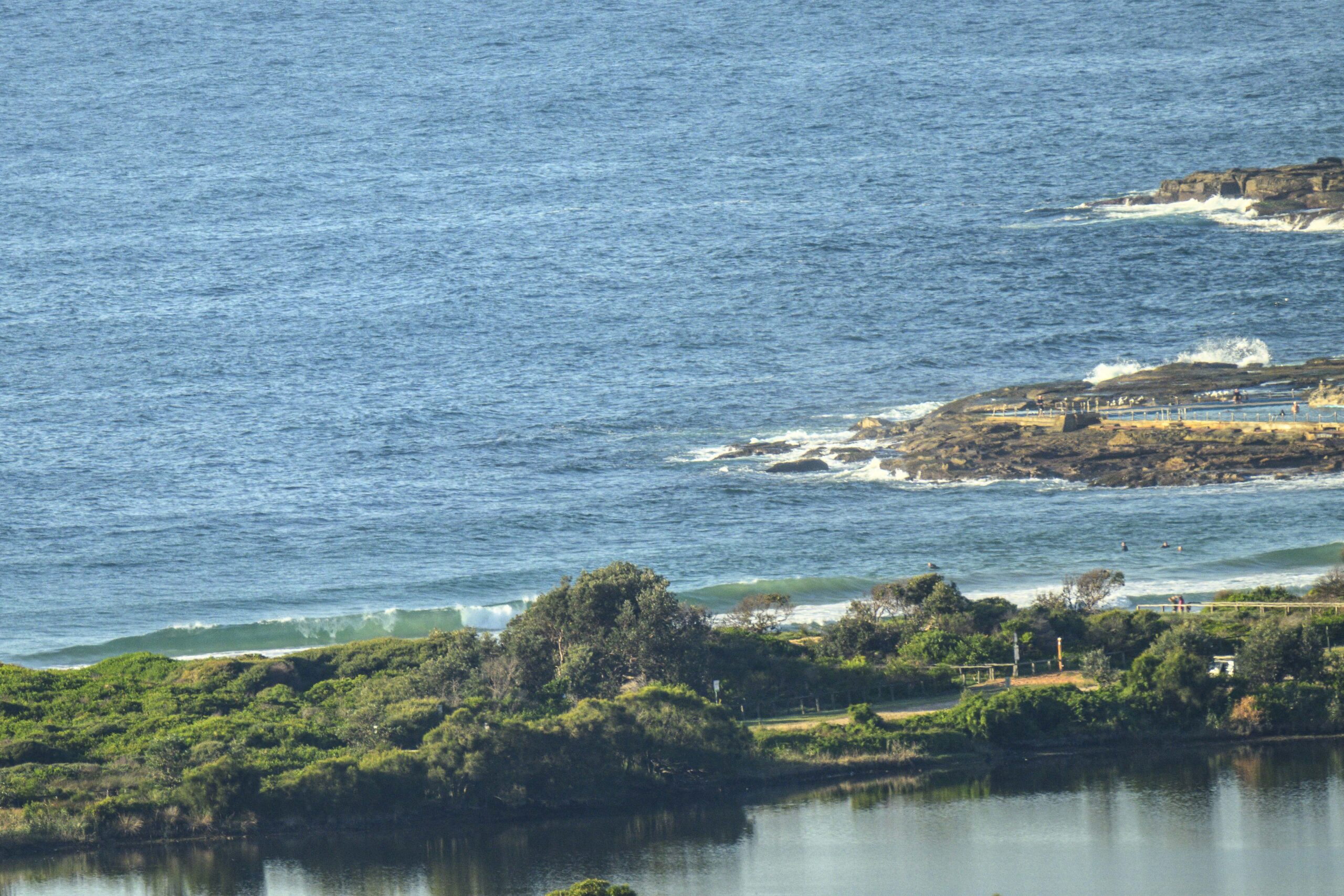
This morning saw sunny skies and light WNW wind chopping up the metre or so of 9-second SE swell that was washing into Dee Why. It was too small to light up the point and the beach looked, shall we say, undistinguished, with only the occasional choppy knee to waist high set offering even a chance of some propulsion.
The swell models this morning are calling for small, straight south swell with sub-9-second periods through Thursday. Currently it looks as though the energy levels will come back up by Friday, but although the periods are predicted to be better than 10 seconds and swell heights nudging the 2 metre mark, it’ll continue to be close to dead south with showery weather and SE wind. The showery stuff looks like sticking around until mid next week – at least. Although the long range models are currently showing a slightly more SE inflection to the swell and heights above the the 2 metre mark Sunday-Weds of next week, the wind call is for more south, going east over the period. That’s a long way out, so don’t hang your hat on the predictions just yet.
Have yourself a great Monday!
Weather Situation
A high pressure system near New Zealand extends a ridge across northern coastal waters, directing east to northeasterly winds. A cold front and associated trough will bring a fresh to strong southerly change to the southern coast late today, extending to central and northern waters during Tuesday. Behind this, a new high is expected to strengthen south of the Bight mid-week while moving slowly east, maintaining south to southeasterly winds over coastal waters through to the weekend.
Forecast for Monday until midnight
- Winds
- North to northwesterly 10 to 15 knots, reaching up to 20 knots offshore during the morning. Winds decreasing to about 10 knots in the early afternoon.
- Seas
- 1 to 1.5 metres, decreasing to 1 metre around midday.
- Swell
- Southerly around 1 metre.
- Weather
- Partly cloudy. The chance of a thunderstorm.
Tuesday 30 April
Strong Wind Warning for Tuesday for Sydney Coast
- Winds
- South to southwesterly 15 to 25 knots becoming southerly 20 to 30 knots early in the morning then decreasing to 20 to 25 knots in the evening.
- Seas
- 1 to 1.5 metres, increasing to 1.5 to 2.5 metres during the morning.
- Swell
- Southerly around 1 metre, increasing to 1 to 2 metres around midday.
- Weather
- Cloudy. 95% chance of showers. The chance of a thunderstorm.
Wednesday 1 May
- Winds
- South to southeasterly 15 to 25 knots.
- Seas
- 1.5 to 2 metres.
- Swell
- Southerly 1.5 to 2.5 metres.
- Weather
- Partly cloudy. 90% chance of showers. The chance of a thunderstorm.


