Hello Friends,
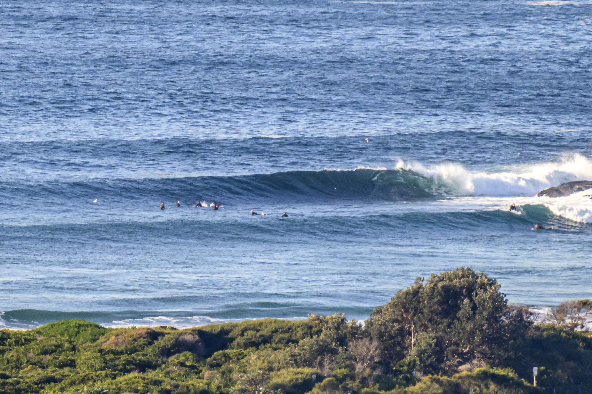
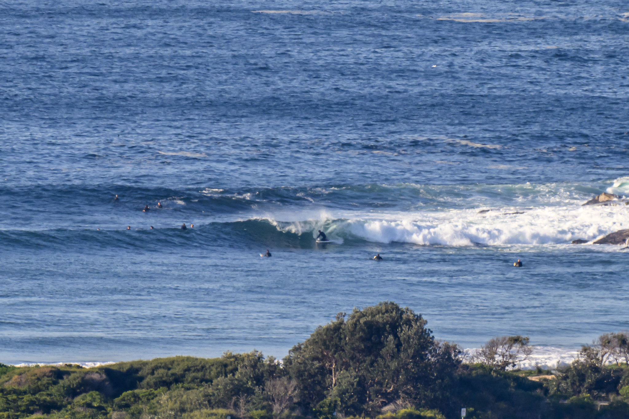
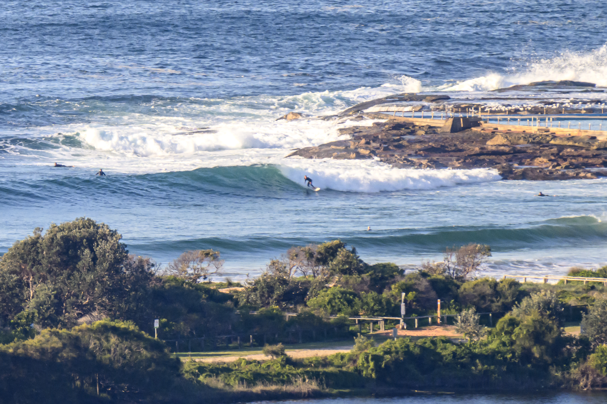
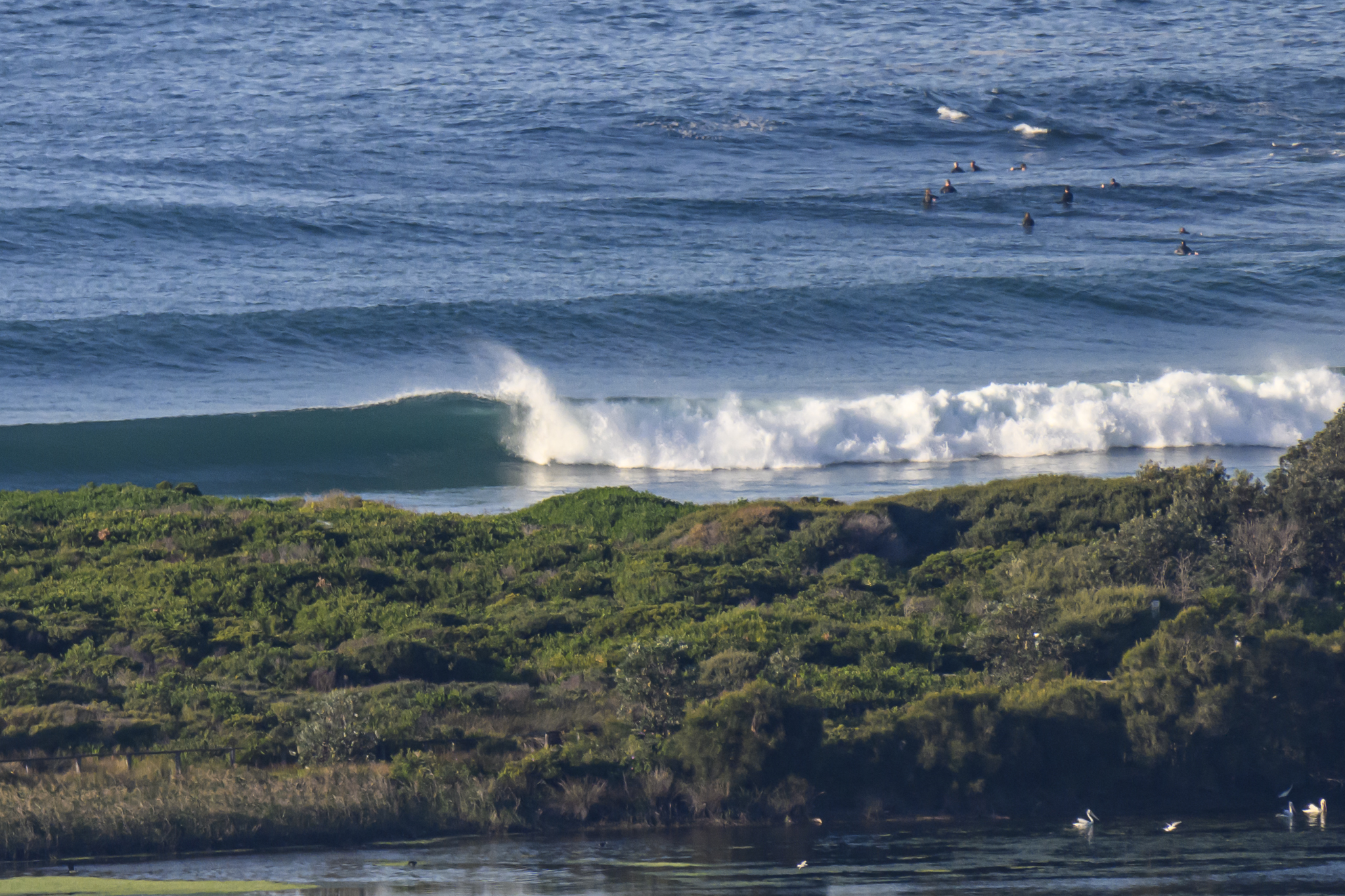
A nice turn-up for the books surfwise thanks to a little pulse upward in the power levels overnight. Dee Why point was seeing some nice long walls that looked to be in the shoulder to head-high plus range on the biggest ones. At 0800 the MHL buoy was detecting 1.8 metres of 13-second S-SSE swell. Wind was around 8-10 kts from the WNW at daybreak and is expected to remain light and variable across the day. The Bureau says swell should be around the 2 metre mark this morning and then it’ll drop back on Tuesday. Tide hits a modest 1.3 metre high at 1105, and then doesn’t drop much to the 0.7 low at 1625.
From the look of the models, we should have waves of some sort through to midweek.
Oh, and the weather looks sunny until Friday, so that’s nice.
Go well!
Weather Situation
A trough over the southern New South Wales waters is weakening as a high pressure system over southeastern Australia slowly drifts east. This high will reach the Tasman Sea by Wednesday, causing northerly winds to develop along much of the coast.
Forecast for Monday until midnight
- Winds
- Variable about 10 knots.
- Seas
- Below 1 metre.
- Swell
- Southerly 1.5 metres, increasing to 1.5 to 2 metres during the morning.
- Weather
- Mostly sunny.
Tuesday 28 May
- Winds
- West to southwesterly about 10 knots becoming north to northeasterly in the early afternoon.
- Seas
- Below 1 metre.
- Swell
- Southerly 1.5 to 2 metres, decreasing to 1.5 metres around midday.
- Weather
- Mostly sunny.
Wednesday 29 May
- Winds
- Northerly about 10 knots increasing to 15 to 20 knots during the morning.
- Seas
- Around 1 metre.
- Swell
- Southerly 1 to 1.5 metres, decreasing to around 1 metre during the afternoon or evening.
- Weather
- Sunny.


