Hello Friends,
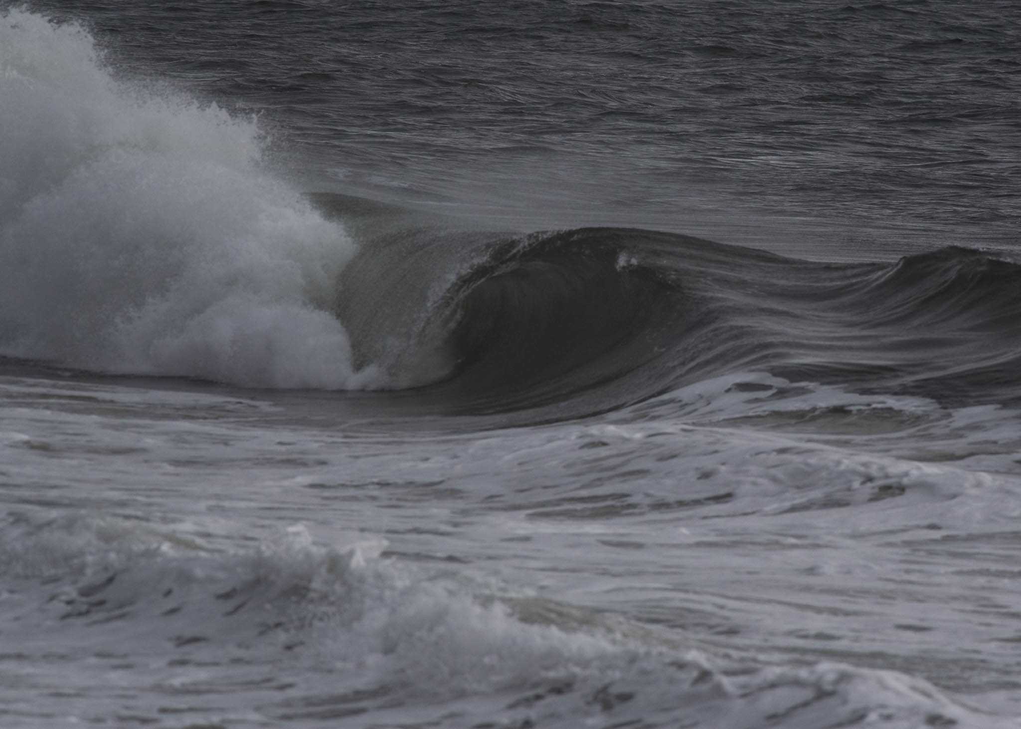
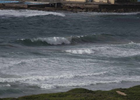
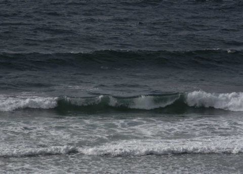
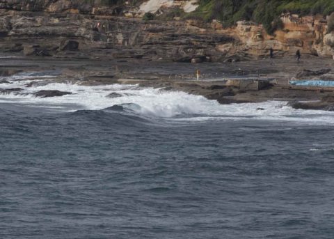
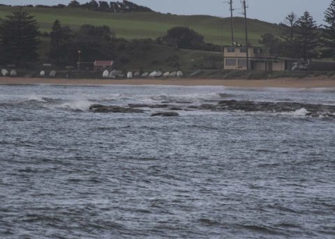
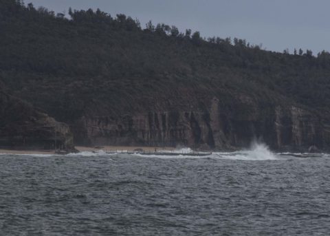
Nothing of interest for surfers this morning between Dee Why and North Narrabeen (and every where else no doubt). 10-15 kts of ESE wind going when I checked around 0815. Waves were in the waist to chest high range at Long Reef but smaller everywhere else.
Outlook is for more showers today – and for the weekend.
And, speaking of outlooks, the Goat is back! You’ll find his expert prognostications for the week ahead, right here.
Weather Situation
A high pressure system near Tasmania is extending a ridge along the New South Wales coast, bringing east to southeast winds. This high will drift eastwards over the Tasman Sea today, and remain there for the next few days, with winds tending east to northeasterly.
Forecast for Friday until midnight
- Winds
- Southeasterly 15 to 20 knots turning easterly 10 to 15 knots in the late morning.
- Seas
- 1 to 1.5 metres.
- 1st Swell
- Southerly 1.5 metres inshore, increasing to 1.5 to 2 metres offshore.
- 2nd Swell
- Southeasterly around 1 metre.
- Weather
- Cloudy. 90% chance of showers.
Saturday 13 October
Strong Wind Warning for Saturday for Sydney Coast
- Winds
- Easterly 15 to 20 knots turning northeasterly 15 to 25 knots before dawn. Winds reaching up to 30 knots in the early afternoon.
- Seas
- 1 to 1.5 metres, increasing to 1.5 to 2.5 metres around midday.
- 1st Swell
- South to southeasterly 1.5 to 2.5 metres.
- 2nd Swell
- East to southeasterly around 1 metre, increasing to 1.5 to 2 metres during the afternoon.
- Weather
- Cloudy. 70% chance of showers.
- Caution
- Large and powerful surf conditions are expected to be hazardous for coastal activities such as crossing bars by boat and rock fishing.
Sunday 14 October
- Winds
- Northeasterly 15 to 25 knots.
- Seas
- 1.5 to 2 metres.
- 1st Swell
- Southerly 1.5 to 2 metres, decreasing to 1.5 metres during the morning.
- 2nd Swell
- Easterly 1.5 metres inshore, increasing to 1.5 to 2 metres offshore.
- Weather
- Cloudy. 80% chance of showers.


