Hello Friends,
The forecast says 30 degrees and a 70% chance of a shower this afternoon for Sydney. There was a 1.4 metre bump coming from the E at 9 seconds apart in the wee small hours. Wind was faintly from the NE at daybreak and tide was heading toward a high at 1120. Ocean is 22C. My guess is that there could be some weak little waist-ish bumps to be had at open stretches before the wind gets up.
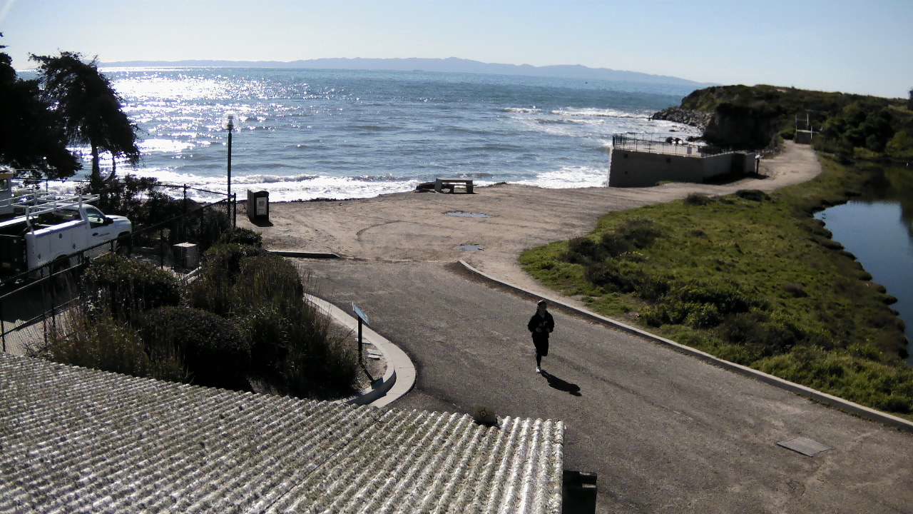
Here in Santa Barbara the weather is bright and sunny and cool with a light SSE onshore and, as the pic below shows, no wave energy to speak of. Way up north from here at Santa Cruz they’re getting some scrappy looking shoulder plus stuff, and down south in San Diego they’re seeing waist plusses. But overall, the California coast is very much between winter pulses.
Have yourself a top old Friday everyone!

Weather Situation
A high pressure system to the east of New Zealand is moving slowly east and will maintain a ridge to the north coast over the next day or so. A trough looks set to bring a weak southerly change to southern parts of the coast later today. Another stronger southerly change is expected along southern and central coastal areas on Saturday before shifting through northern parts of the coast Sunday morning. A high pressure ridge will extend from the Bight in the wake of the trough, with a new high centre becoming established in the Tasman Sea later on Sunday.
Forecast for Friday until midnight
- Winds
- Northerly 15 to 25 knots.
- Seas
- 1.5 to 2 metres.
- 1st Swell
- Southeasterly around 1 metre.
- 2nd Swell
- Easterly around 1 metre.
- Weather
- Partly cloudy. 50% chance of showers. The chance of a thunderstorm during this afternoon and evening.
Saturday 9 February
Strong Wind Warning for Saturday for Sydney Coast
- Winds
- Northerly 15 to 25 knots becoming variable about 10 knots in the afternoon then shifting south to southeasterly 20 to 30 knots in the late evening.
- Seas
- 1.5 to 2.5 metres, decreasing to 1 to 1.5 metres around midday.
- Swell
- East to northeasterly 1 to 1.5 metres.
- Weather
- Partly cloudy. The chance of a thunderstorm in the afternoon and evening.
Sunday 10 February
- Winds
- Southerly 20 to 30 knots becoming variable about 10 knots during the day then becoming east to northeasterly 10 to 15 knots during the afternoon.
- Seas
- 1 to 2 metres, decreasing below 1 metre during the afternoon.
- 1st Swell
- Southerly around 1 metre, increasing to 1 to 2 metres during the morning.
- 2nd Swell
- Northeasterly 1 to 1.5 metres, tending easterly below 1 metre during the morning.
- Weather
- Partly cloudy.


