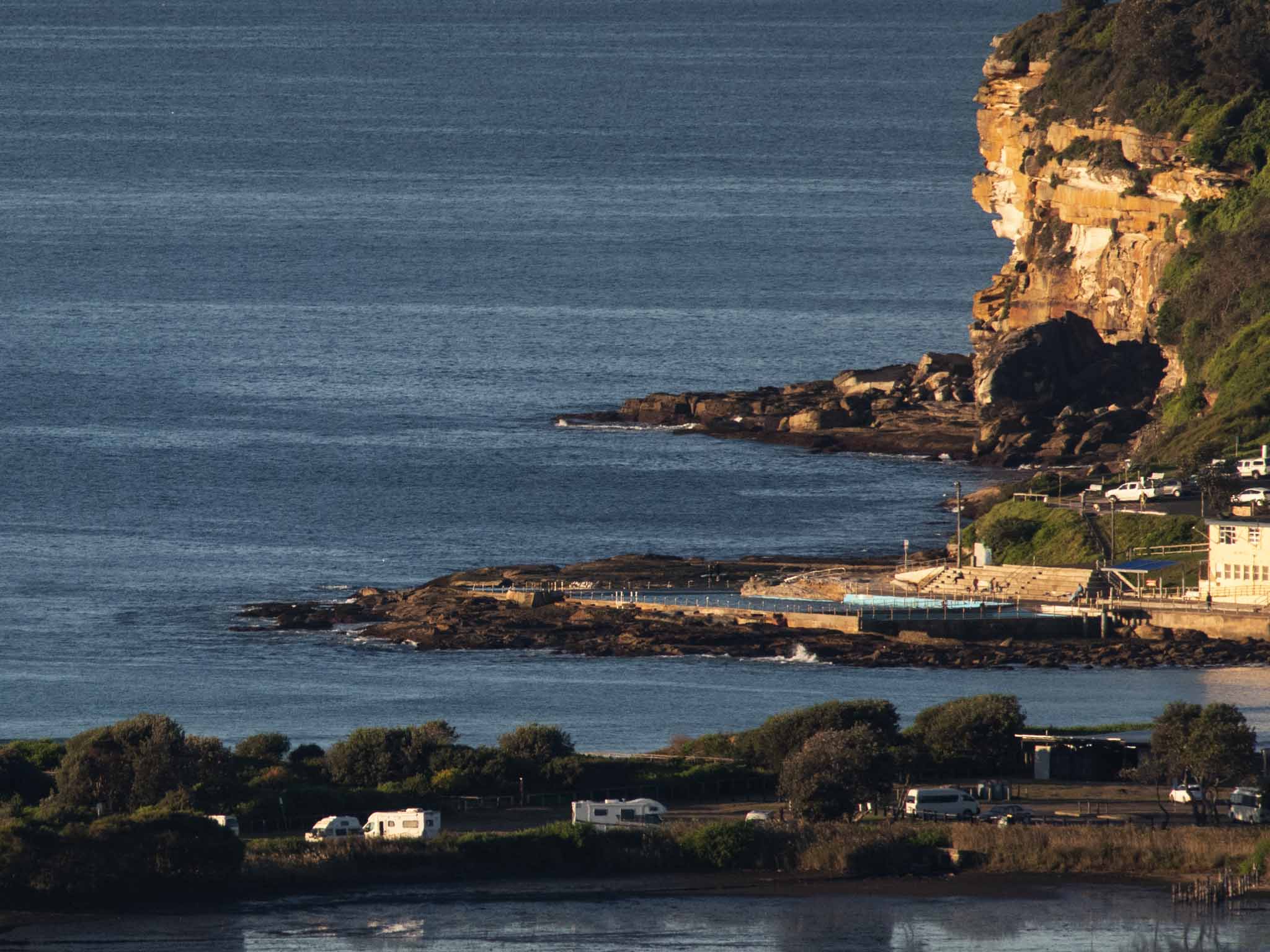
Hello Friends,
Another beautiful – but waveless – morning for the Northern Beaches.
Outlook hasn’t really improved this morning. It still looks like being flat to maybe knee high on the bombs for the next week according to both the Wavewatch and ECM models. The very long range predictions show a slight hope for a south bump mid to late next week, but the models are also showing heaps of south wind with it.
As mentioned earlier, I’ll be in California postcard mode by this weekend, and from a quick scan of the surf prospects, it doesn’t look like the wave situation there will be much better than here. Of course it’s summer, so there is that.
Have yourself a top old Tuesday everyone!

Weather Situation
A broad high pressure system over the Tasman Sea will maintain a ridge toward the New South Wales Coast over the next few days. On Wednesday winds will shift north to northwesterly, freshening in the south, ahead of the next cold front. This front will cause winds to shift west to southwesterly during Thursday and Friday.
Forecast for Tuesday until midnight
- Winds
- West to southwesterly 10 to 15 knots becoming south to southwesterly below 10 knots in the early afternoon then becoming north to northeasterly in the evening.
- Seas
- Around 1 metre, decreasing below 0.5 metres during the afternoon.
- Swell
- Southerly around 1 metre, increasing to 1 to 1.5 metres later in the evening.
- Weather
- Sunny.
Wednesday 12 June
- Winds
- Northerly 15 to 20 knots turning northwesterly during the afternoon and evening.
- Seas
- Below 1 metre, increasing to 1 to 1.5 metres during the morning.
- Swell
- Southerly 1 to 1.5 metres.
- Weather
- Mostly sunny.
Thursday 13 June
- Winds
- Northwesterly 15 to 20 knots turning westerly 10 to 15 knots during the day.
- Seas
- 1 to 1.5 metres, decreasing below 1 metre during the afternoon.
- Swell
- Southerly below 1 metre.
- Weather
- Cloudy. 50% chance of showers.


