Hello Friends,
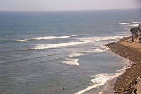
Looks like you have waves again this morning along the beaches, but the 1.6 metre, 10 sec east swell is pretty lumpy and junky on the high tide (0830). You’re going to a high of 19 with 50% chance of the odd shower. Wind as of 0850 was light from the WSW, but a SE’r is expected soon…
Looks like the next three days will see a steady supply of waves, but also onshore winds. Onshore conditions should moderate Sunday and right now next week is looking sweet, with fun size waves and offshore wind…
Weather Situation
A strengthening high pressure system in the Bight will slowly move east over the next several days directing east to southeasterly winds across the New South Wales waters.
Forecast for Wednesday until midnight
- Winds
- Southeasterly 15 to 20 knots.
- Seas
- 1 to 1.5 metres.
- 1st Swell
- Easterly 1.5 metres.
- 2nd Swell
- Southerly around 1 metre.
- Weather
- Partly cloudy.
Thursday 4 July
- Winds
- Southeasterly 15 to 25 knots turning easterly 15 to 20 knots in the evening.
- Seas
- 1 to 2 metres.
- 1st Swell
- Easterly 1.5 metres, increasing to 2 metres by early evening.
- 2nd Swell
- Southerly around 1 metre.
- Weather
- Partly cloudy. 60% chance of showers.
Friday 5 July
- Winds
- Easterly 15 to 20 knots.
- Seas
- 1 to 1.5 metres.
- Swell
- Easterly 2 metres.
- Weather
- Partly cloudy. 50% chance of showers.
Postcards from Cali
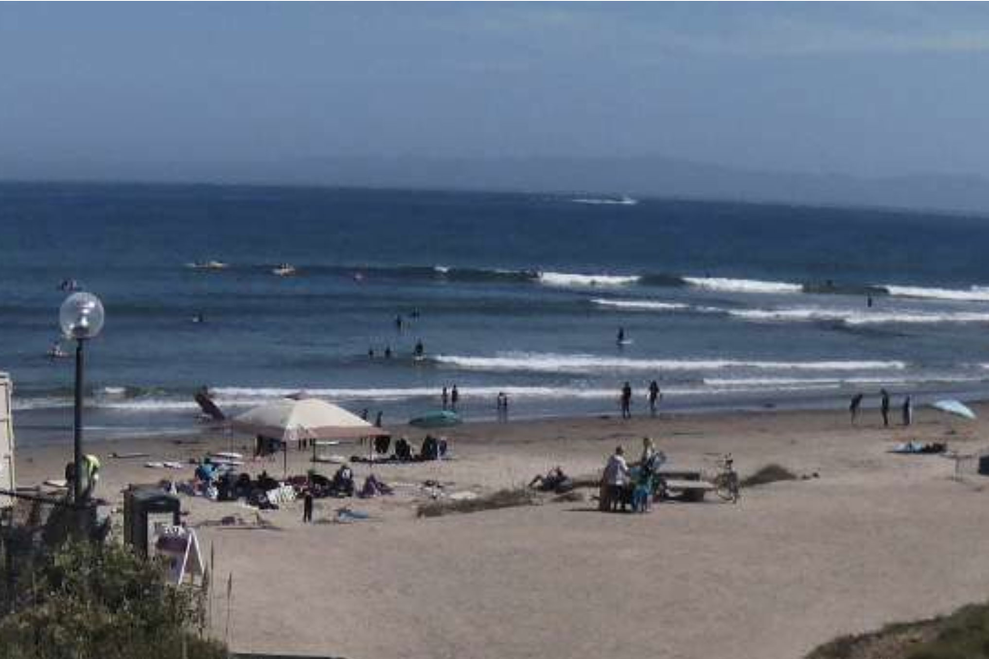
Yay! I actually got wet for the first time on this visit. Caught a few weak knee to chest high bumps at Sands Beach, about 2 km east of Campus point. Hoping it picks up a little more overnight…