It’s pumping this morning at Dee Why point

Hello Friends, As good as it gets this morning at the point. Set wave faces were well overhead and the swell angle was just the right degree off dead south with a 12-sec period. Surface conditions were super clean thanks to a morning offshore. And naturally, there were more than a few punters in the […]
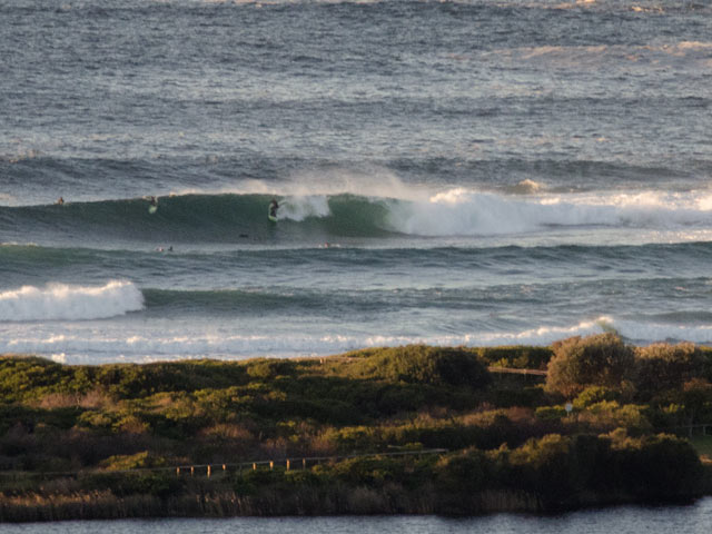
Gardens, dusk, Wed 10 Sept 2014
After shooting at Mona Vale earlier in the day, I lost most of the afternoon to work. But I was able to sneak out just on dusk to grab a few shots of the reeling barrels at South Narrabeen. Very, very few were made, but almost everyone was covered before the inevitable pounding. You can […]
A few pics from this morning at DY and Northy
Hello Friends, Funny thing happened between posting the report and my getting down to Dee Why this morning… seemed like the swell decided it really wanted to go play somewhere else because there were some long lulls for the crew. Definitely a few keepers though, particularly if your craft of choice was a lid. Word […]
One of the great days
Hello Friends, I’m rating it at 9/10 for the early sesh at Dee Why this morning. Maybe 10/10. As of 0600 the MHL Sydney buoy was registering 2.3 metres from the ESE at a touch under 15 seconds apart. Set wave faces – as the pictures show – are well overhead at Dee Why point. […]
It was pumping this morning
Hello Friends, It doesn’t get significantly better than this morning at Dee Why. Double-overhead sets were pretty common at the point for a good size crew on it from early. The beach? Naw, no takers, too many thundering shutdowns overwhelming the banks. Swell is out of the SSE (162 degrees) at 12 seconds apart with […]
Pumping at Dee Why
Hello Friends, I’m calling it 9/10 at Dee Why this morning. After jumping dramatically yesterday, this morning sees 3-4+ metres of close to 14 second period south swell marching relentlessly in to the point for a Sunday size pre-work crowd. (I reckon the sicky count will shoot up today!). Set wave faces were double overhead […]
It’s on
Hello Friends, South east swell at 2 metres and 11 seconds apart with no wind, sunny skies and the start of a holiday weekend is adding up to going off. Very consistent when I first checked about 0730 and tremendously crowded at the point. I’m calling the conditions 9/10 for waves. But, no matter where […]
PICS by Don: Saturday pumping Dee Why beachy
It was insanely busy at Dee Why in the middle of a perfect winter Saturday afternoon. The swell was rocking and the left in particular was almost a machine. I only shot for an hour or so, but managed to reap a nice collection of beautiful looking waves. One of the better days of the […]
PICS by Don: Saturday morning surf session at Avalon
A chilly, breezy Avalon played host to superb surfin’ conditions on Saturday morning, 9 July 2011. Your correspondent set up the camera and got shooting. Sets were 1.5x overhead and it was reasonably consistent. To see all the pictures, click the pic below and you’ll jump to the gallery where – as usual – […]
Swell arrives right on schedule and looking for trouble
Hello Friends, The Huey express pulled into town while we were sleeping and this morning sees offshore wind and around 3.5 metres of 11-12 sec SSE swell. Pumping big time. Tide was low at 0730 and will hit a highish high at about 1400. Wind will pick up a bit during the day, but […]